
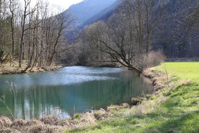
Inntal Süd, protected landscape area in Rosenheim district, Bavaria, Germany
Location: Rosenheim
Inception: 2007
GPS coordinates: 47.72889,12.14000
Latest update: March 16, 2025 09:49
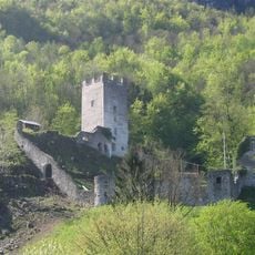
Burg Unter-Falkenstein
1.6 km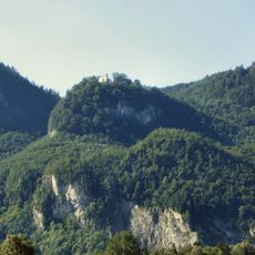
Burg Ober-Falkenstein
1.8 km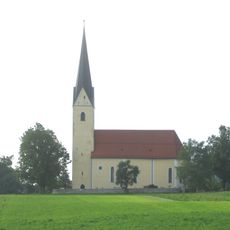
St. Leonhard (Nußdorf am Inn)
1.6 km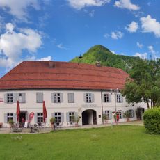
Alte Post
1.8 km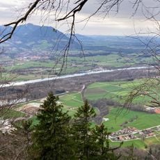
Pisee
855 m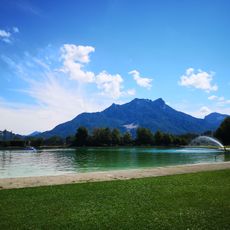
Freibad Flintsbach
1.1 km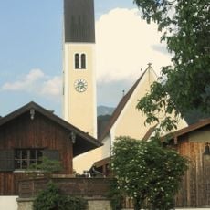
Sankt Vitus (Nußdorf am Inn)
1.8 km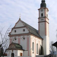
St. Martin
1.3 km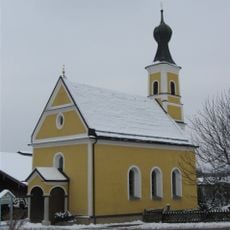
St. Johann Evangelist
1.8 km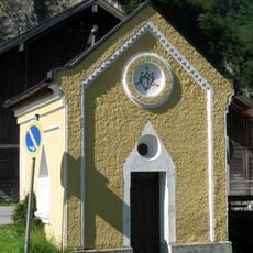
Wegkapelle Astenweg
1.4 km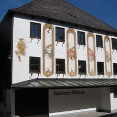
Volkstheater Flintsbach
1.2 km
Gasthaus
1.3 km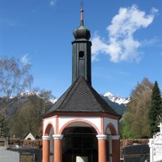
Friedhof Flintsbach am Inn
1.6 km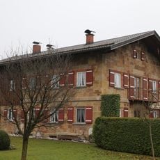
Am Ring 8
1.7 km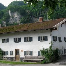
Bauernhaus
1.3 km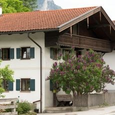
Kufsteiner Straße 47
1.3 km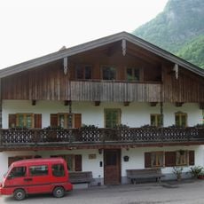
Ehem. Bauernhaus
1.4 km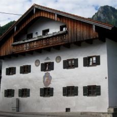
Kufsteiner Straße 14
1.3 km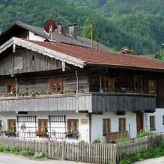
Ehem. Kleinbauernhaus
1.3 km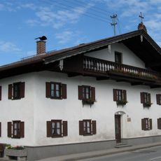
Ehem. Handwerkerhaus
1.3 km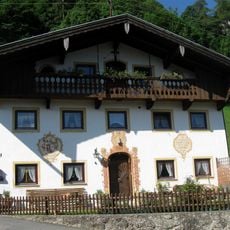
Falkensteinstraße 3
1.5 km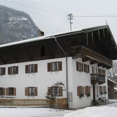
Falkenbergstraße 2
1.8 km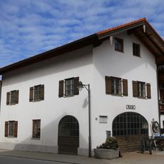
Kufsteiner Straße 85
1.7 km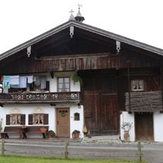
Leonhardiweg 3
1.7 km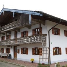
Ehem. Bauernhaus
1.7 km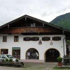
Ehem. Schmiede
1.8 km
Ehem. Herrensitz
1.8 km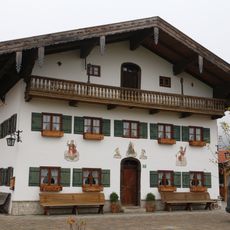
Flintsbacher Straße 10
1.8 kmReviews
Visited this place? Tap the stars to rate it and share your experience / photos with the community! Try now! You can cancel it anytime.
Discover hidden gems everywhere you go!
From secret cafés to breathtaking viewpoints, skip the crowded tourist spots and find places that match your style. Our app makes it easy with voice search, smart filtering, route optimization, and insider tips from travelers worldwide. Download now for the complete mobile experience.

A unique approach to discovering new places❞
— Le Figaro
All the places worth exploring❞
— France Info
A tailor-made excursion in just a few clicks❞
— 20 Minutes