
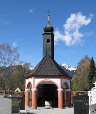
Friedhof Flintsbach am Inn
Friedhof Flintsbach am Inn, 1824 angelegt, mit zahlreichen Grabanlagen des 19. Jh.; Friedhofskapelle, oktogonaler Zeltdachbau mit hohem Dachreiter mit Zwiebelhaube, Säulenvorhalle und schmiedeeisernem Gitter, 1825-28; Grabstätte der Familie Steinbeis, offener Zeltdachbau mit
Location: Flintsbach
Address: Tatzelwurmstraße 2
GPS coordinates: 47.72666,12.11855
Latest update: March 8, 2025 07:46
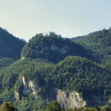
Burg Ober-Falkenstein
1.3 km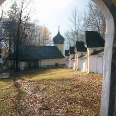
Wallfahrtskirche St. Maria Magdalena auf der Biber
978 m
St. Martin
370 m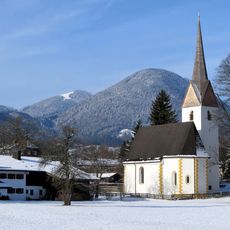
St. Ägidius (Degerndorf)
1.3 km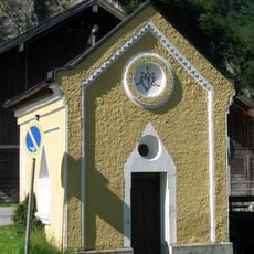
Wegkapelle Astenweg
1.1 km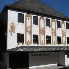
Volkstheater Flintsbach
684 m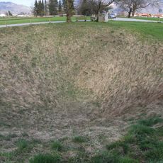
Doline Wolfsgrube bei Flintsbach
283 m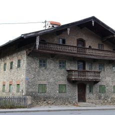
Sudelfeldstraße 32
1.3 km
Gasthaus
708 m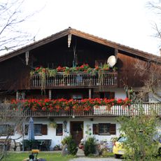
Bauernhaus
1.3 km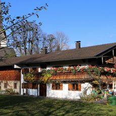
Bauernhaus
1.2 km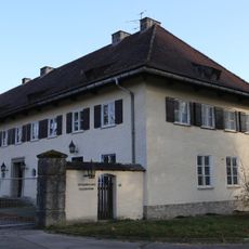
Ehemaliges Offizierskasino
1.2 km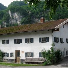
Bauernhaus
872 m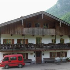
Ehem. Bauernhaus
878 m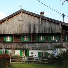
Sudelfeldstraße 38
1.4 km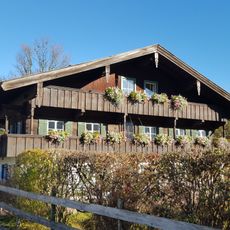
Milbinger Straße 31
1.3 km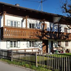
Milbinger Straße 41
1.3 km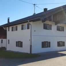
Milbinger Straße 43 (Milbing)
1.3 km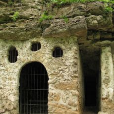
Biberklause
965 m
Bauernhaus
1.3 km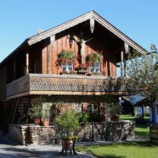
Biberstraße 51
916 m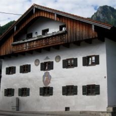
Kufsteiner Straße 14
806 m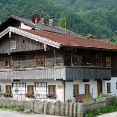
Ehem. Kleinbauernhaus
774 m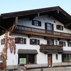
Ehemaliges Bauernhaus
1.2 km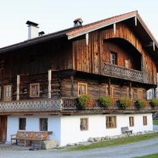
Sudelfeldstraße 8
1.3 km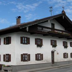
Ehem. Handwerkerhaus
671 m
Brechstuben in Brannenburg
1.3 km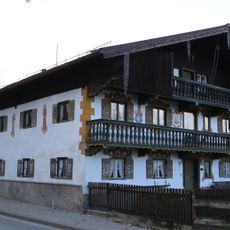
Sudelfeldstraße 36
1.3 kmReviews
Visited this place? Tap the stars to rate it and share your experience / photos with the community! Try now! You can cancel it anytime.
Discover hidden gems everywhere you go!
From secret cafés to breathtaking viewpoints, skip the crowded tourist spots and find places that match your style. Our app makes it easy with voice search, smart filtering, route optimization, and insider tips from travelers worldwide. Download now for the complete mobile experience.

A unique approach to discovering new places❞
— Le Figaro
All the places worth exploring❞
— France Info
A tailor-made excursion in just a few clicks❞
— 20 Minutes