
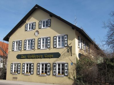
Planegger Straße 31, im Kern 19. Jahrhundert
Location: Munich
Floors above the ground: 2
GPS coordinates: 48.14316,11.45795
Latest update: March 4, 2025 02:33
Schloss Gatterburg
134 m
Church of the Nativity of the Virgin Mary
209 m
Friedhof
216 m
Planegger Straße 14
111 m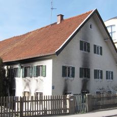
Planegger Straße 20
63 m
Planegger Straße 16 (München)
84 m
Planegger Straße 21
110 m
Planegger Straße 15
205 m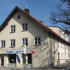
Planegger Straße 27
60 m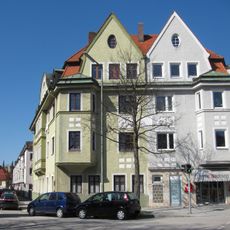
Category:Josef-Retzer-Straße 42
245 m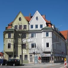
Category:Bäckerstraße 22 (München)
256 m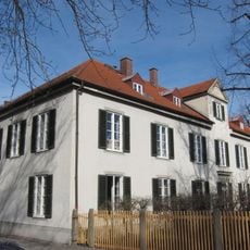
Am Klostergarten 15
168 m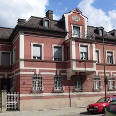
Planegger Straße 9 (Pasing)
299 m
Planegger Straße 17
170 m
Peter-Putz-Straße 6/8/10
170 m
Planegger Straße 33
37 m
Engelbertstraße 13/15, Munich
165 m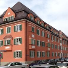
Category:Josef-Retzer-Straße 49/51/53/55 (München)
223 m
Planegger Straße 19
143 m
Planegger Straße 29
22 m
Villa
214 m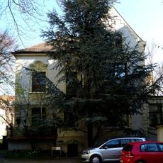
Malerische Villa
278 m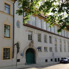
Institut der Englischen Fräulein
280 m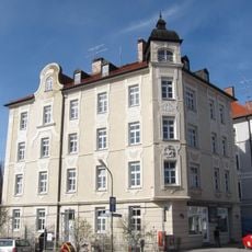
Engelbertstraße 2
64 m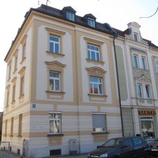
Kleine Mietshäuser
295 m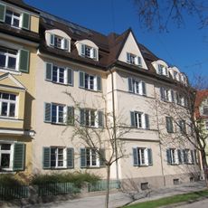
Mietshaus
209 m
Mietshausgruppe
167 m
Mietshaus
196 mReviews
Visited this place? Tap the stars to rate it and share your experience / photos with the community! Try now! You can cancel it anytime.
Discover hidden gems everywhere you go!
From secret cafés to breathtaking viewpoints, skip the crowded tourist spots and find places that match your style. Our app makes it easy with voice search, smart filtering, route optimization, and insider tips from travelers worldwide. Download now for the complete mobile experience.

A unique approach to discovering new places❞
— Le Figaro
All the places worth exploring❞
— France Info
A tailor-made excursion in just a few clicks❞
— 20 Minutes