
Renteigebäude, langgestreckter zweigeschossiger Massivbau mit Walmdach, Schleppgauben und Eckerker, 1669/71, an Portal der südlichen Traufseite bezeichnet mit 1549, im 19. Jahrhundert umgebaut und erweitert
Location: Aschau im Chiemgau
Address: Kampenwandstraße 78
GPS coordinates: 47.76701,12.32415
Latest update: March 14, 2025 17:33

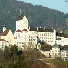
Hohenaschau Castle
209 m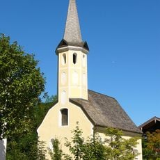
Kampenwandstraße 76
53 m
Kapelle zu den Sieben Zufluchten
995 m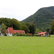
Friedenskirche
730 m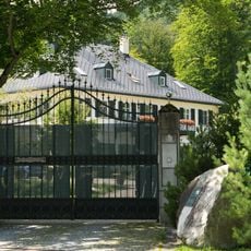
Villa
693 m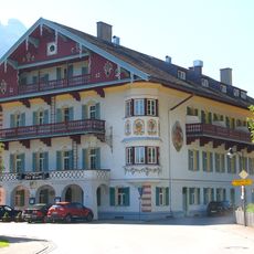
Kampenwandstraße 94
305 m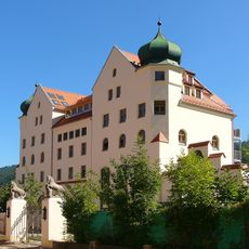
Schloßbrauerei (Hohenaschau i. Chiemgau)
42 m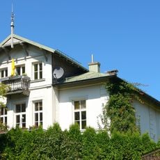
Zellerhornstraße 3
1.3 km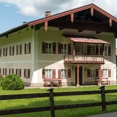
Schloßbergstraße 6
336 m
Hammerbach 10
1.1 km
Ehemaliger Schlossbräukeller
123 m
Kampenwandstraße 83
168 m
Hammerbach 6
980 m
Schloss Hohenaschau Funicular
289 m
Hammerbach 11
1.1 km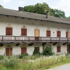
Hammerbach 4
957 m
Kampenwandstraße 78
117 m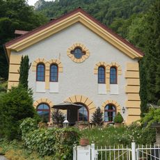
Hammerbach 13
1.2 km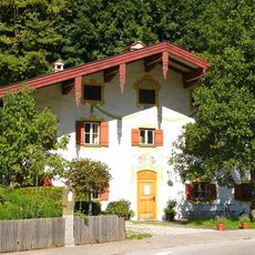
Kampenwandstraße 90
252 m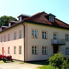
Schulstraße 13
1.2 km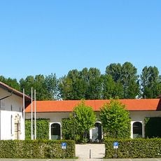
Schloßökonomie
112 m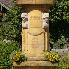
Kriegerdenkmal
1.2 km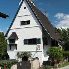
Zellerhornstraße 36
820 m
Zellerhornstraße 66
620 m
Zellerhornstraße 73
626 m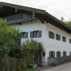
Zellerhornstraße 87
864 m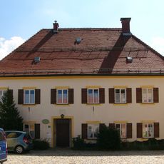
Kirchplatz 2
1.4 km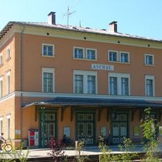
Bahnhof Aschau
1.3 kmReviews
Visited this place? Tap the stars to rate it and share your experience / photos with the community! Try now! You can cancel it anytime.
Discover hidden gems everywhere you go!
From secret cafés to breathtaking viewpoints, skip the crowded tourist spots and find places that match your style. Our app makes it easy with voice search, smart filtering, route optimization, and insider tips from travelers worldwide. Download now for the complete mobile experience.

A unique approach to discovering new places❞
— Le Figaro
All the places worth exploring❞
— France Info
A tailor-made excursion in just a few clicks❞
— 20 Minutes