
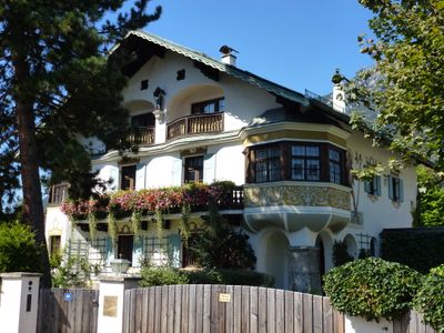
Landhaus Leonhardihof, building in Garmisch-Partenkirchen, Upper Bavaria, Germany
Location: Garmisch-Partenkirchen
Address: Höllentalstraße 68
GPS coordinates: 47.48857,11.08099
Latest update: March 20, 2025 15:47
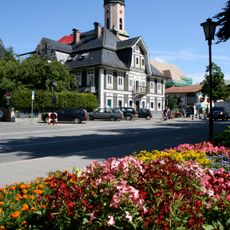
Alte Apotheke
636 m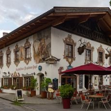
Bankgasse 5
645 m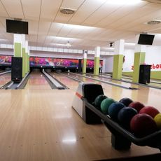
Zugspitzbowling
408 m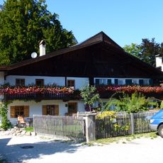
Frühlingstraße 1, 1a
657 m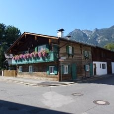
Schmiedstraße 10
666 m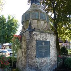
Kriegerdenkmal Garmisch
624 m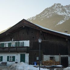
Doppelbauernhaus
629 m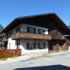
Griesgartenstraße 14
634 m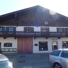
Kreuzstraße 1
510 m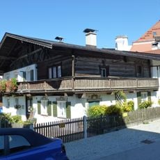
Kreuzstraße 2
491 m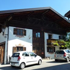
Kreuzstraße 3
497 m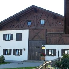
Kreuzstraße 16
362 m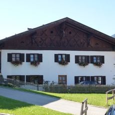
Kreuzstraße 17
359 m
Bundwerk an Alpspitzstraße 2
529 m
Alpspitzstraße 1
556 m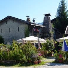
Zur Waffenschmiede
356 m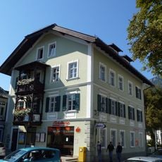
Marienplatz 8
649 m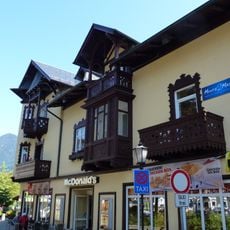
Marienplatz 11
613 m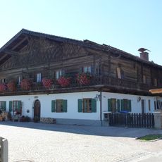
Zugspitzstraße 21, 21a
294 m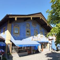
Marienplatz 14
563 m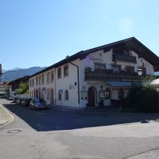
Ehemaliges Wohn- und Handelshaus''„Zum Weinhaus“''
673 m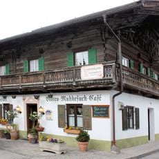
Ehemaliges Bauernhaus''„Cafe Muckefuck“''
486 m
Bundwerk
553 m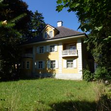
Höllentalstraße 54
160 m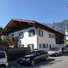
Schmiedstraße 6
669 m
Marienplatz 13, 15
589 m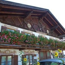
Kreuzstraße 21
295 m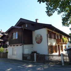
Griesstraße 18
477 mVisited this place? Tap the stars to rate it and share your experience / photos with the community! Try now! You can cancel it anytime.
Discover hidden gems everywhere you go!
From secret cafés to breathtaking viewpoints, skip the crowded tourist spots and find places that match your style. Our app makes it easy with voice search, smart filtering, route optimization, and insider tips from travelers worldwide. Download now for the complete mobile experience.

A unique approach to discovering new places❞
— Le Figaro
All the places worth exploring❞
— France Info
A tailor-made excursion in just a few clicks❞
— 20 Minutes