
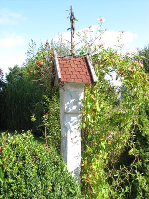
Bildstock, steinerne Säule mit Heiligenhäuschen, 1862
Location: Stephanskirchen
Address: Althöhensteigstraße 4
GPS coordinates: 47.86721,12.14646
Latest update: March 18, 2025 08:00
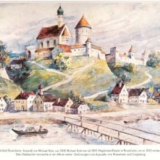
Burg Rosenheim
1.3 km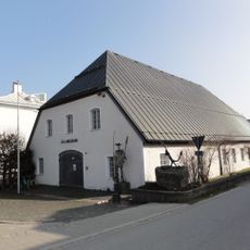
Inn-Museum
1.4 km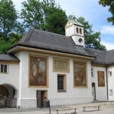
Loretokapelle Rosenheim
1.6 km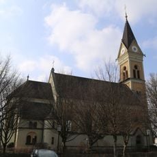
St. Georg
1.1 km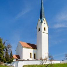
Wallfahrtskirche St. Leonhard, Stephanskirchen
1.5 km
Westerndorfer Strasse 23 u 25
1.7 km
Vierzehn Nothelfer
1.4 km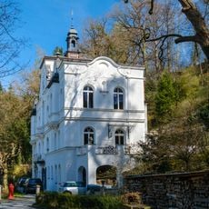
Innleiten 100
1.2 km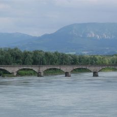
Eisenbahnbrücke Rosenheim
1.7 km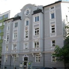
Innstraße 50
1.7 km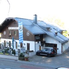
Stephanskirchen Hofaustrasse 1
1.2 km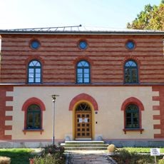
Verwaltungsgebäude des Staatl. Bauamts Rosenheim
1.3 km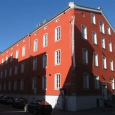
Ehem. Hofbräukomplex
1.7 km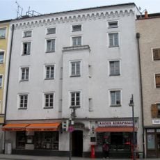
Kaiserstraße 24
1.7 km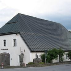
Ehem. Flussmeisterei
1.4 km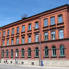
Ellmaierstraße 3
1.6 km
An der Burgermühle
1.7 km
Färberstraße 19
1.7 km
Kaiserstraße 22
1.7 km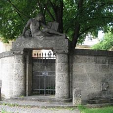
Kriegerdenkmal
1.6 km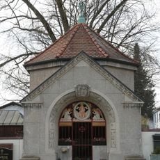
Grabstätte
878 m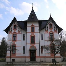
Salzburger Straße 8
1.1 km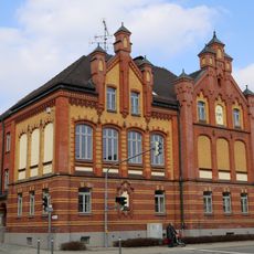
Salzburger Straße 25 (Schloßberg, Stephanskirchen)
1 km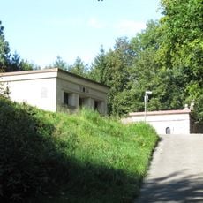
Bei den Eichen
1.6 km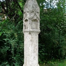
Burgfriedenssäule
1.6 km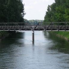
Ehemalige Eisenbahnbrücke über die Mangfall
1.5 km
Stadel
1.1 km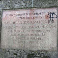
Gedenktafel
1.4 kmVisited this place? Tap the stars to rate it and share your experience / photos with the community! Try now! You can cancel it anytime.
Discover hidden gems everywhere you go!
From secret cafés to breathtaking viewpoints, skip the crowded tourist spots and find places that match your style. Our app makes it easy with voice search, smart filtering, route optimization, and insider tips from travelers worldwide. Download now for the complete mobile experience.

A unique approach to discovering new places❞
— Le Figaro
All the places worth exploring❞
— France Info
A tailor-made excursion in just a few clicks❞
— 20 Minutes