
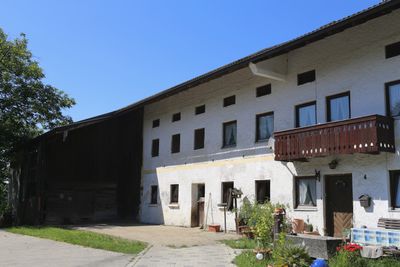
Hauptstraße 4, an das Bauernhaus angebaut, 18. Jh.; Stadel, Bundwerkstadel mit Flachsatteldach, frühes 19. Jh., und eingebautem Getreidekasten in Blockbauweise, älter
Location: Vogtareuth
Address: Hauptstraße 4
GPS coordinates: 47.90462,12.14708
Latest update: March 4, 2025 04:02
Rathaus Schechen
3.3 km
Rinssee
3.8 km
St. Leonhardsquelle (Leonhardspfunzen)
2.3 km
Wallfahrtskirche St. Leonhard, Stephanskirchen
2.7 km
St. Peter
4 km
Vierzehn Nothelfer
4.1 km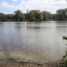
Schutz des Inntales
1.4 km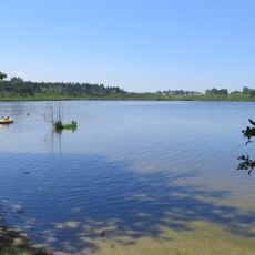
Inschutznahme des Hofstätter- und Rinssees in den Gemeinden Prutting, Söchtenau und Vogtareuth
2.8 km
Innleiten 100
3 km
St. Vitus
4.4 km
Church of Presentation of Virgin Mary
4.1 km
Mariä Heimsuchung
2.6 km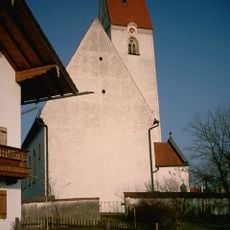
St. Georg
4.4 km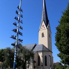
St. Vitus
63 m
St. Laurentius
2.2 km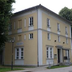
Bahnhofstraße 5
2.9 km
St. Margaretha
3.2 km
Kirchstraße 8
4.1 km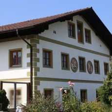
Westerndorfer Straße 71
4.3 km
Bei den Eichen
4.5 km
Unsere Liebe Frau Entmoos
3.9 km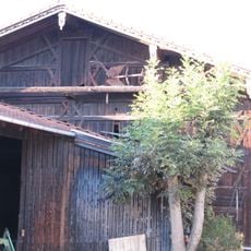
Stadel
4.4 km
Stadel
3.4 km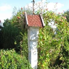
Bildstock
4.2 km
Pernauerstraße 5
4.6 km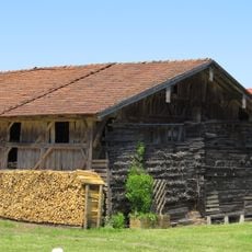
Stadel
2.2 km
Pfarrhaus
2.3 km
Salzburger Straße 1
4.3 kmReviews
Visited this place? Tap the stars to rate it and share your experience / photos with the community! Try now! You can cancel it anytime.
Discover hidden gems everywhere you go!
From secret cafés to breathtaking viewpoints, skip the crowded tourist spots and find places that match your style. Our app makes it easy with voice search, smart filtering, route optimization, and insider tips from travelers worldwide. Download now for the complete mobile experience.

A unique approach to discovering new places❞
— Le Figaro
All the places worth exploring❞
— France Info
A tailor-made excursion in just a few clicks❞
— 20 Minutes