
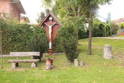
Burgfriedensstein von 1754, Rechtsdenkmal in Bayern
Location: Altdorf
Address: Nähe Holunderweg 5, am ehemaligen Totenweg, heute Nähe Isolde-Kurz-Straße 28 (Landshut)
GPS coordinates: 48.55778,12.11849
Latest update: April 1, 2025 12:33
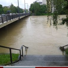
Flutmulde Landshut
2 km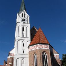
St. Nikola
2.2 km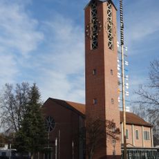
St. Wolfgang (Landshut)
1.4 km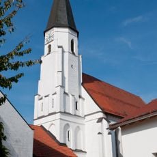
St. Nikola
874 m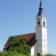
Mariä Heimsuchung
142 m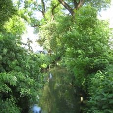
Schutz eines Landschaftsteils in der Stadt Landshut (Restpfettrach)
2.2 km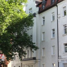
Wohnhaus
2.1 km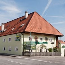
Gasthaus, ehemaliges Wohnstallhaus eines Hakenhofes
668 m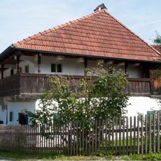
Ehemaliges Wohnstallhaus
1.2 km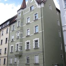
Mietshaus
2.2 km
Mietshaus
2.3 km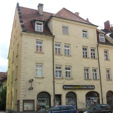
Mietshaus
2.3 km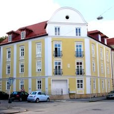
Wohnhaus
2.4 km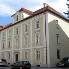
Wohnhaus
2.4 km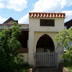
Friedhofsmauer
121 m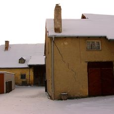
Ehem. Nußbieler-Schwaige
2.2 km
Nikola Bierstüberl
2.4 km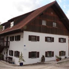
Wohnstallhaus eines ehemaligen Vierseithofs
1.5 km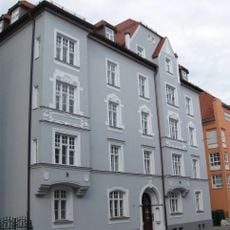
Seligenthaler Straße 56 (Landshut)
2.2 km
Wohnhaus
2.2 km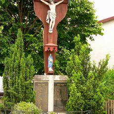
Kriegerdenkmal
2.2 km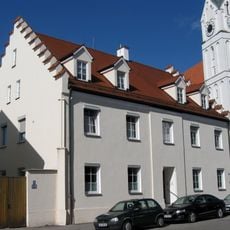
Katholische Pfarrhaus St. Nikola
2.2 km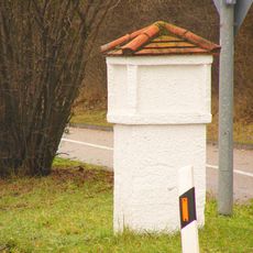
VIII. Burgfriedenssäule
1.7 km
III. Burgfriedensstein
937 m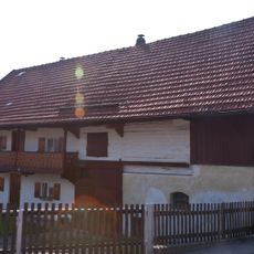
Bauernhaus, Mittertennbau
1 km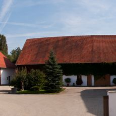
Wohnstallhaus eines Vierseithofs
951 m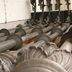
Gusseiserne Lichtmasten
1.1 km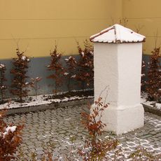
V. Burgfriedenssäule Landshut
2.3 kmVisited this place? Tap the stars to rate it and share your experience / photos with the community! Try now! You can cancel it anytime.
Discover hidden gems everywhere you go!
From secret cafés to breathtaking viewpoints, skip the crowded tourist spots and find places that match your style. Our app makes it easy with voice search, smart filtering, route optimization, and insider tips from travelers worldwide. Download now for the complete mobile experience.

A unique approach to discovering new places❞
— Le Figaro
All the places worth exploring❞
— France Info
A tailor-made excursion in just a few clicks❞
— 20 Minutes