
Wohnhaus, building in Konzell, Lower Bavaria, Germany
Location: Konzell
Address: Sankt-Nepomuk-Straße 3
GPS coordinates: 49.07226,12.71278
Latest update: March 23, 2025 07:21

Gallner
3.7 km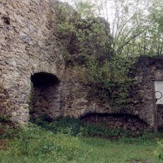
Burg Neurandsberg
4.6 km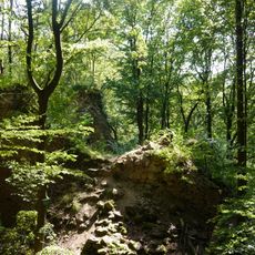
Burgruine Höhenstein
3.3 km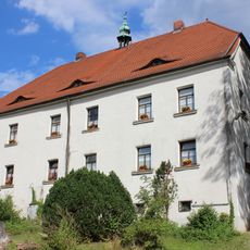
Ehemaliges Schloss
1.8 km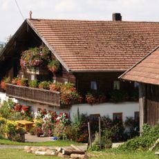
Zierling 5
2.5 km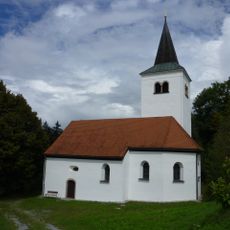
Katholische Filialkirche Sixtus I.
3.8 km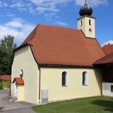
Katholische Filialkirche Stephanus
1.8 km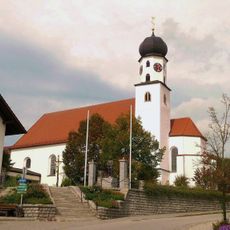
St. Martin (Konzell)
118 m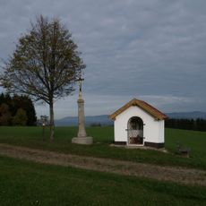
Feldkapelle
3.5 km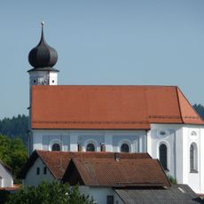
Katholische Pfarrkirche St. Margareta
4.4 km
Kapelle
3 km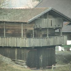
Hierzu Traidkasten
2.3 km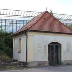
Kapelle, sogenannte Schwarzer-Kapelle
166 m
Oberer Bayerischer Wald
4.9 km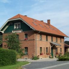
Station building at Konzell Süd station
2.2 km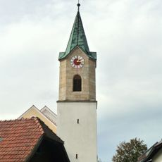
Pfarrkirche
3.2 km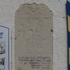
Eingelassener Grabstein
472 m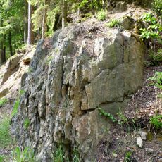
Straßenaufschluss am Aigenberg
4.5 km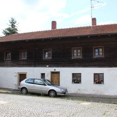
Bauernhaus
1.8 km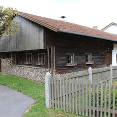
Waldlerhaus
2 km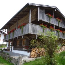
Bauernhaus
3.8 km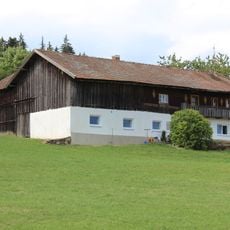
Wohnstallhaus
2.5 km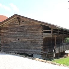
Hierzu Traidkasten
1.9 km
Einfirsthof
593 m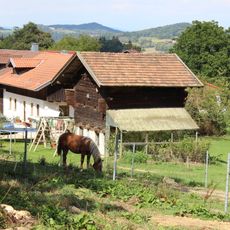
Hierzu Traidkasten
3.3 km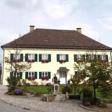
Pfarrhaus
76 m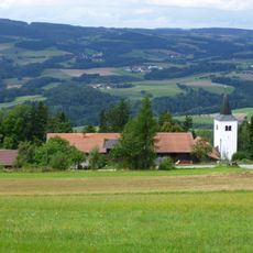
Ensemble Weiler Gallner
3.8 km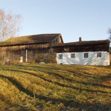
Waldlerhof
3.8 kmReviews
Visited this place? Tap the stars to rate it and share your experience / photos with the community! Try now! You can cancel it anytime.
Discover hidden gems everywhere you go!
From secret cafés to breathtaking viewpoints, skip the crowded tourist spots and find places that match your style. Our app makes it easy with voice search, smart filtering, route optimization, and insider tips from travelers worldwide. Download now for the complete mobile experience.

A unique approach to discovering new places❞
— Le Figaro
All the places worth exploring❞
— France Info
A tailor-made excursion in just a few clicks❞
— 20 Minutes