
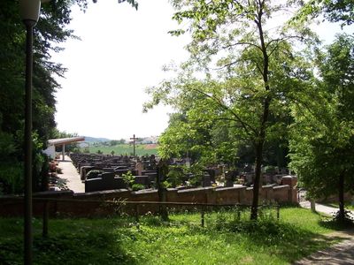
Friedhofs-Anlage, anlage von 1883;
Location: Pfeffenhausen
Address: Nähe Landshuter Straße
GPS coordinates: 48.65830,11.97101
Latest update: March 9, 2025 00:06
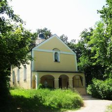
Klausenkirche
113 m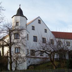
Schloss Niederhornbach
3.7 km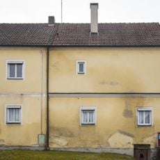
Sogenanntes Schloss
886 m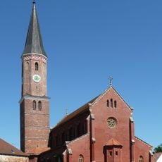
Sankt Martin (Pfeffenhausen)
867 m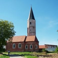
St. Blasius (Eichstätt)
2.1 km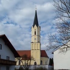
St. Peter und Paul
3.7 km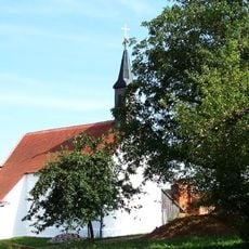
St. Ulrich
3 km
Katholische Wallfahrtskirche zu Unsere Liebe Frau
113 m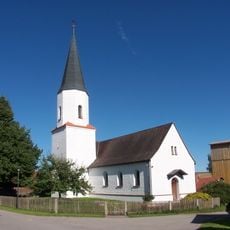
Katholische Filialkirche Nikolaus von Myra
2.6 km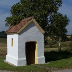
Wegkapelle Egg
2.7 km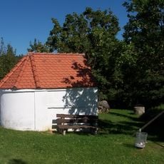
Wegkapelle Holzhausen
720 m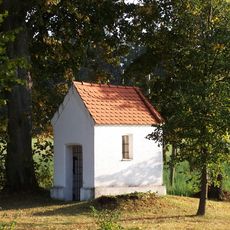
Wegkapelle St. Jakobus bei Egg
2.3 km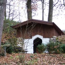
Waldkapelle Langenwies
3.6 km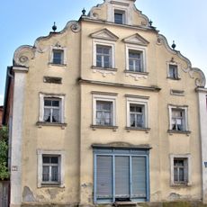
Wohn- und Geschäftshaus
949 m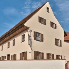
Wohn- und Geschäftshaus
785 m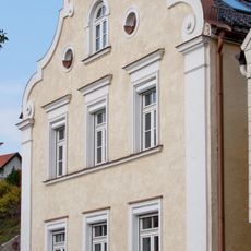
Schweifgiebelfassade
735 m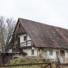
Wohngebäude eines Hakenhofs
1.2 km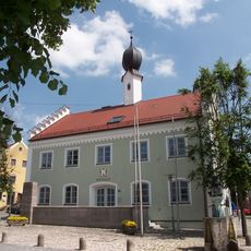
Pfeffenhausen Town Hall
917 m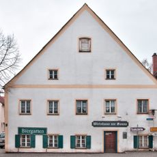
Gasthaus Sonne
942 m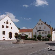
Gasthof Post
829 m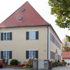
Pfarrhof
848 m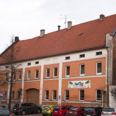
Brauereigasthof Brunnerbräu
867 m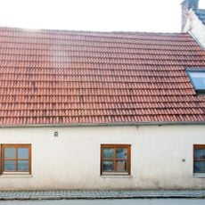
Kleines Wohnhaus
739 m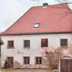
Wohnhaus
992 m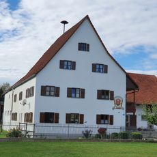
Ehemaliger Amtshof
1.5 km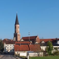
Ensemble Marktplatz
931 m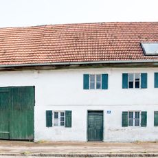
Bauernhaus
974 m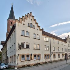
Brauereigasthof (Pfeffenhausen)
911 mReviews
Visited this place? Tap the stars to rate it and share your experience / photos with the community! Try now! You can cancel it anytime.
Discover hidden gems everywhere you go!
From secret cafés to breathtaking viewpoints, skip the crowded tourist spots and find places that match your style. Our app makes it easy with voice search, smart filtering, route optimization, and insider tips from travelers worldwide. Download now for the complete mobile experience.

A unique approach to discovering new places❞
— Le Figaro
All the places worth exploring❞
— France Info
A tailor-made excursion in just a few clicks❞
— 20 Minutes