
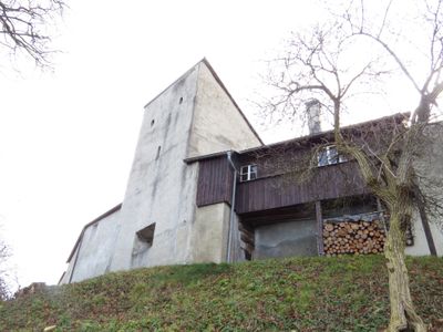
Französischer Turm Schongau
Französischer Turm Schongau, mit Pultdach, 16. Jh., und Stadtmauer, 13. bis 18. Jahrhundert
Location: Schongau
Address: Bauerngasse 23
GPS coordinates: 47.81520,10.89592
Latest update: April 30, 2025 20:56
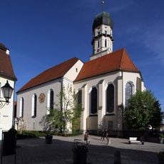
Pfarrkirche Mariä Himmelfahrt
359 m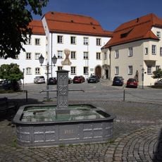
Schloss Schongau
189 m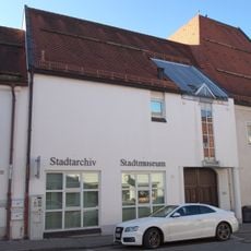
Stadtmuseum Schongau
284 m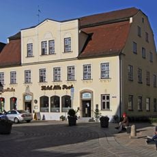
Hotel Alte Post
394 m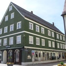
Löwenstraße 1
421 m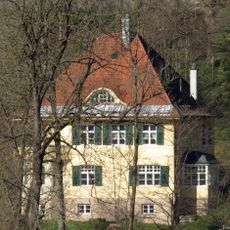
Villa
358 m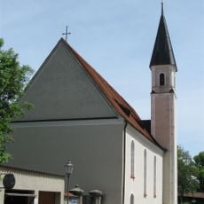
Kirche
163 m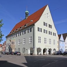
Rathaus
316 m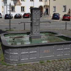
Schloßplatzbrunnen in Schongau
207 m
Münzstraße 2
316 m
Dominikus-Zimmermann-Straße 10
220 m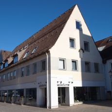
Wohn- und Geschäftshaus''„zum Platz-Seiler“''
356 m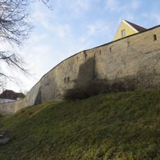
Stadtbefestigung
245 m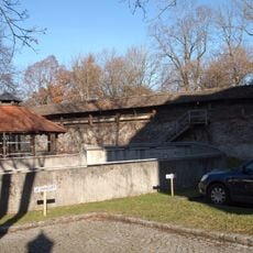
Stadtmauer Amtsgerichtsstraße
316 m
Stadtmauer
101 m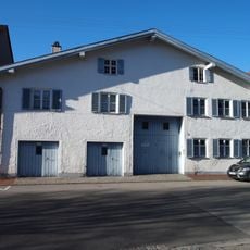
Ehemaliges Bauernhaus''„zum Lenzler“''
63 m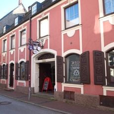
Löwenstraße 3
417 m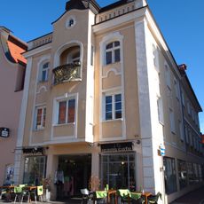
Marienplatz 14
407 m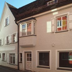
Wohnhaus mit Laden''„zum Stricker-Boos“''
404 m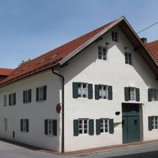
Reichelstraße 4
157 m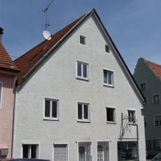
Weinstraße 6/8
323 m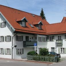
Reichelstraße 18
160 m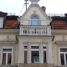
Christophstraße 28
245 m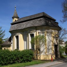
Heilig-Kreuz-Kapelle (Schongau)
130 m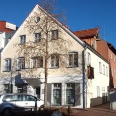
Wohnhaus mit Nebengebäude''„zum Allatsee“''
346 m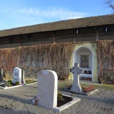
Stadtmauer
195 m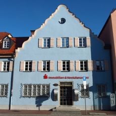
Ehemaliges Gasthaus Weißes Lamm''Burger''
167 m
Marienplatz 22
341 mVisited this place? Tap the stars to rate it and share your experience / photos with the community! Try now! You can cancel it anytime.
Discover hidden gems everywhere you go!
From secret cafés to breathtaking viewpoints, skip the crowded tourist spots and find places that match your style. Our app makes it easy with voice search, smart filtering, route optimization, and insider tips from travelers worldwide. Download now for the complete mobile experience.

A unique approach to discovering new places❞
— Le Figaro
All the places worth exploring❞
— France Info
A tailor-made excursion in just a few clicks❞
— 20 Minutes