
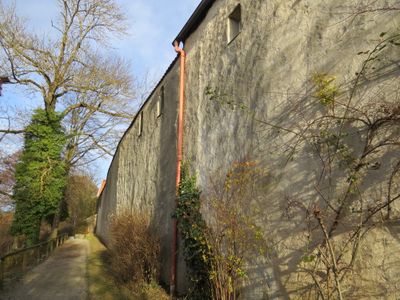
Stadtmauer, westlicher Zug, 13. bis 18. Jahrhundert
Location: Schongau
Address: Christophstraße 1/3/5/7/9/11/13
GPS coordinates: 47.81049,10.89628
Latest update: March 15, 2025 06:27
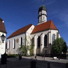
Pfarrkirche Mariä Himmelfahrt (Schongau)
175 m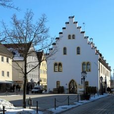
Ballenhaus (Schongau)
108 m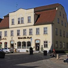
Hotel Alte Post
147 m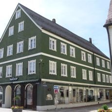
Löwenstraße 1
120 m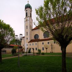
Heilig-Geist-Spitalkirche St. Anna (Schongau)
203 m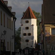
Polizeidienerturm Schongau
124 m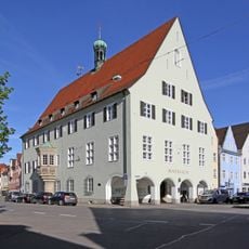
Rathaus
215 m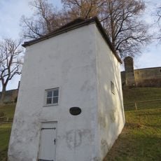
Ehemaliges Brunnenhaus
138 m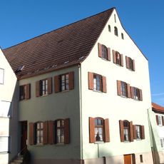
Lechtorstraße 4/6
198 m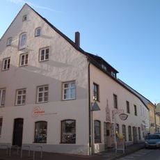
Lechtorstraße 11
126 m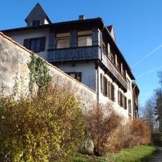
Lindenplatz 2
106 m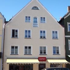
Wohn- und Geschäftshaus
123 m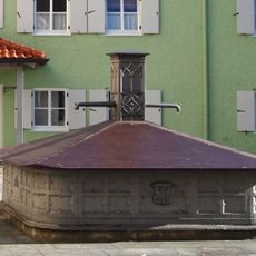
Karmeliterstraße 4
201 m
Wohnhaus''„zum Sudler“''
148 m
Wohn- und Geschäftshaus''„zum Platz-Seiler“''
205 m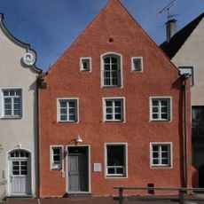
Lechtorstraße 10
192 m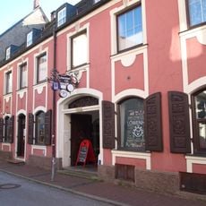
Löwenstraße 3
114 m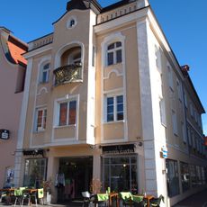
Marienplatz 14
168 m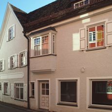
Wohnhaus mit Laden''„zum Stricker-Boos“''
215 m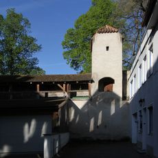
Schweigerturm
110 m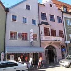
Wohn- und Geschäftshaus''„zum Oberer Huterer/Left“''
92 m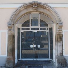
Marienplatz 11
111 m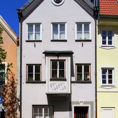
Lechtorstraße 22
43 m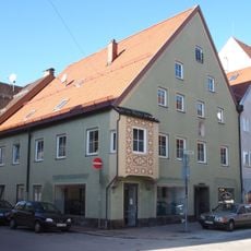
Wohn- und Geschäftshaus''„zum Oberen Seiler“''
69 m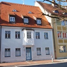
Lindenplatz 5
91 m
Marienplatz 22
222 m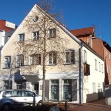
Wohnhaus mit Nebengebäude''„zum Allatsee“''
181 m
Ballenhausstraße 4
165 mReviews
Visited this place? Tap the stars to rate it and share your experience / photos with the community! Try now! You can cancel it anytime.
Discover hidden gems everywhere you go!
From secret cafés to breathtaking viewpoints, skip the crowded tourist spots and find places that match your style. Our app makes it easy with voice search, smart filtering, route optimization, and insider tips from travelers worldwide. Download now for the complete mobile experience.

A unique approach to discovering new places❞
— Le Figaro
All the places worth exploring❞
— France Info
A tailor-made excursion in just a few clicks❞
— 20 Minutes