
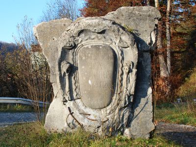
Wappenkartusche, gussbeton, bezeichnet mit 1912
Location: Weyarn
Address: Holzkirchener Straße
GPS coordinates: 47.86454,11.78799
Latest update: March 20, 2025 07:05
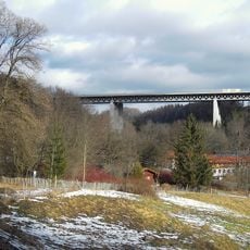
Mangfall Bridge
495 m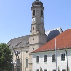
Kloster Weyarn
1 km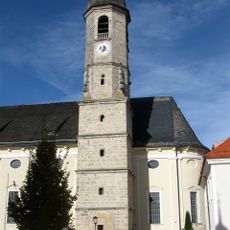
St. Peter und Paul
1 km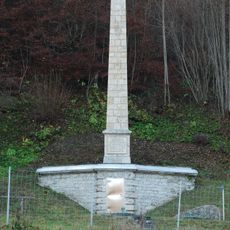
Obelisk am Kasperlbach
381 m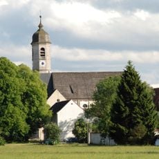
Ehemalige Augustinerchorherren-Stiftskirche Sankt Peter und Paul, jetzt Pfarrkirche
1 km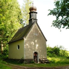
Kapelle St. Leonhard
307 m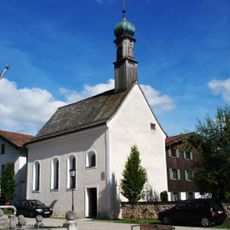
Maria Hilf
1.1 km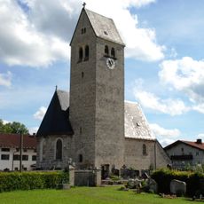
St. Michael
1.3 km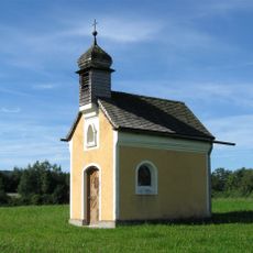
Feldkapelle
784 m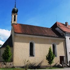
St. Jakob
1.1 km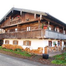
Bergstraße 46
990 m
Gasthof Maxlmühle
1.6 km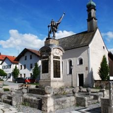
Kriegerdenkmal
1.1 km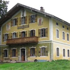
Bauernhaus Seiding 56 (Weyarn)
1.6 km
Ehemaliges E-Werk
1.6 km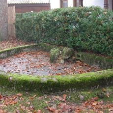
Ehemalige Stallung und Scheune der Brauerei des Augustinerchorherrenstiftes Weyarn
979 m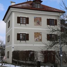
J.-B.-Zimmermann-Straße 10
980 m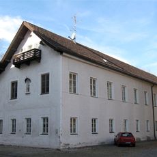
Ehem. Konventsgebäude des Klosters Weyarn
953 m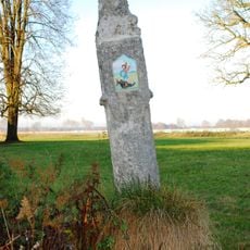
Bildstock Lindmayrstraße
1.6 km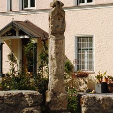
Bildstock
1 km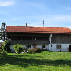
Bauernhaus Beim Bock
838 m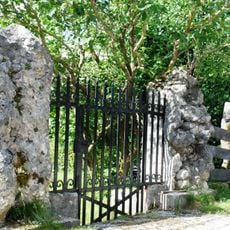
Einfriedung
1.1 km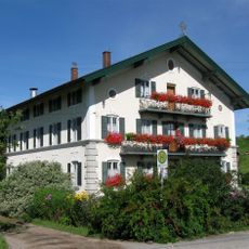
Bauernhaus ''Beim Bock''
741 m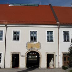
Ehem. Richterstock des Klosters Weyarn
1 km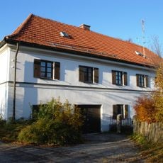
Ehemals Kuratenhaus, dann Pfarrhof
1.1 km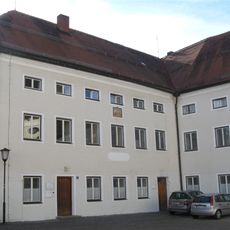
Erweiterungsbau des ehemaligen Seminargebäudes und Theatersaal des Augustinerchorherrenstiftes Weyarn
1.1 km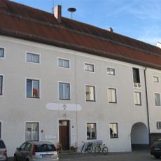
Ehemaliges Seminargebäude des Augustinerchorherrenstiftes Weyarn
1 km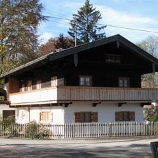
Ehemalige Klosterfärberei
1.2 kmReviews
Visited this place? Tap the stars to rate it and share your experience / photos with the community! Try now! You can cancel it anytime.
Discover hidden gems everywhere you go!
From secret cafés to breathtaking viewpoints, skip the crowded tourist spots and find places that match your style. Our app makes it easy with voice search, smart filtering, route optimization, and insider tips from travelers worldwide. Download now for the complete mobile experience.

A unique approach to discovering new places❞
— Le Figaro
All the places worth exploring❞
— France Info
A tailor-made excursion in just a few clicks❞
— 20 Minutes