
Zugehöriger Blockbau-Traidboden
Zugehöriger Blockbau-Traidboden, ende 18./Anfang 19. Jahrhundert
Location: Niederaichbach
Address: Haus Nr. 1
GPS coordinates: 48.58284,12.31549
Latest update: March 5, 2025 12:05
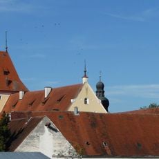
Schloss Niederaichbach
2 km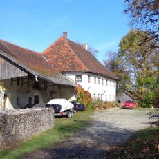
Burgruine Wolfstein
3.8 km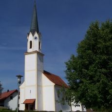
Katholische Kirche Nikolaus von Myra
2.2 km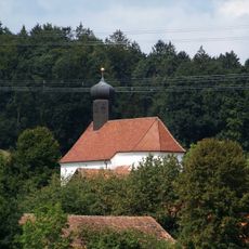
Katholische Filialkirche St. Johannes und Paulus
4.1 km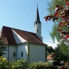
Katholische Kirche Nikolaus von Myra
2 km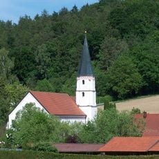
Katholische Kirche Margareta von Antiochia mit Kapelle
1 km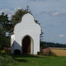
Hofkapelle (Rabenanger)
3.7 km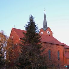
St.-Andreas-Kirche
2.6 km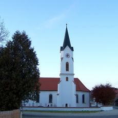
Pfarrkirche Jakobus der Ältere
3.9 km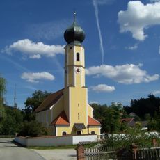
Pfarrkirche Peter und Paul
1.6 km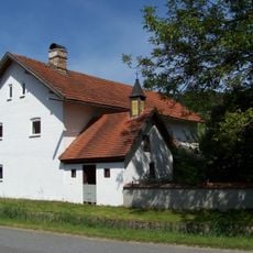
Zugehörige Hofkapelle
2 km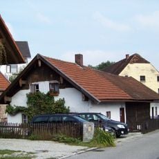
Kleinbauernhaus
2.2 km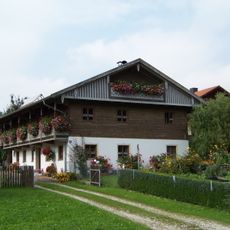
Niederaichbach Ruhmannsdorf 24
3 km
Kleinhandwerkerhaus
2.2 km
Wohnstallhaus eines Dreiseithofs
1.9 km
Bauernhaus
3.8 km
Bauernhaus eines Vierseithofs
3.3 km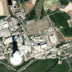
Isar switching station
3 km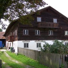
Wohnstallhaus eines Hakenhofs
1.5 km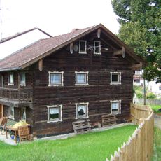
Bauernhaus
1.6 km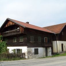
Wohnstallhaus eines Hakenhofs
1.8 km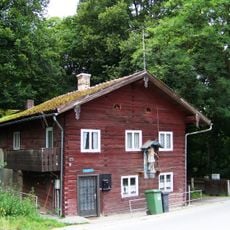
Wohnhaus
2.4 km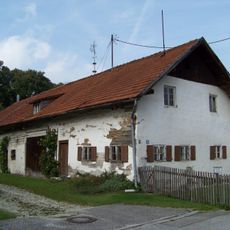
Bauernhaus
2.1 km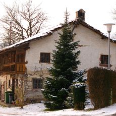
Wohnstallhaus
4.1 km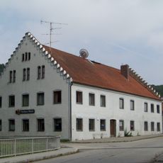
Gasthaus
1.6 km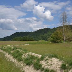
Leiten der Unteren Isar
364 m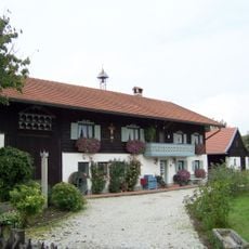
Bauernhaus
1.6 km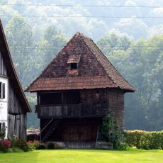
Getreidekasten
4.1 kmReviews
Visited this place? Tap the stars to rate it and share your experience / photos with the community! Try now! You can cancel it anytime.
Discover hidden gems everywhere you go!
From secret cafés to breathtaking viewpoints, skip the crowded tourist spots and find places that match your style. Our app makes it easy with voice search, smart filtering, route optimization, and insider tips from travelers worldwide. Download now for the complete mobile experience.

A unique approach to discovering new places❞
— Le Figaro
All the places worth exploring❞
— France Info
A tailor-made excursion in just a few clicks❞
— 20 Minutes