
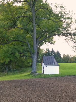
Wegkapelle, building in Alling, Upper Bavaria, Germany
Location: Alling
Address: Oberfeld
GPS coordinates: 48.13884,11.22982
Latest update: March 24, 2025 01:56
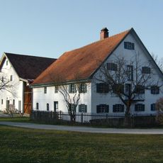
Bauernhofmuseum Jexhof
3.1 km
Amperauen mit Leitenwälder zwischen Fürstenfeldbruck und Schöngeising
1.8 km
St. Johannes Baptist
1.3 km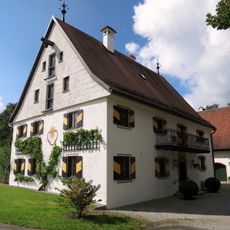
Zellhofstraße 1
1 km
Heilig-Kreuz-Kirche (Holzhausen)
330 m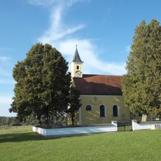
St. Vitus (Zellhof)
1.1 km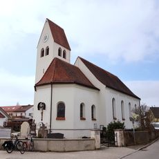
Pfarrkirche Mariä Himmelfahrt (Biburg, Alling)
2.6 km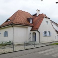
Ehemaliges Schulhaus
2.6 km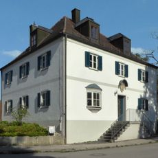
Pfarrhaus (Schöngeising)
1.6 km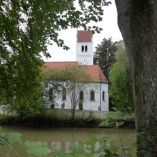
St. Stephan
3 km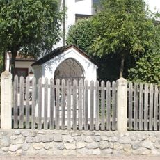
Kapelle
2.9 km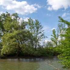
Mittlere Amper, Weiher-Einfang Fürstenfeldbruck
2.5 km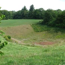
Obere Amper
2.9 km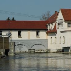
Amperkraftwerk (Schöngeising)
1.7 km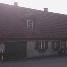
Ehemals Taglöhnerhaus
1.6 km
Bildstock, sog. Heiligensäule
1.7 km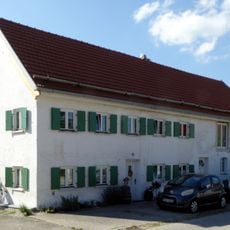
Ehemals Bauernhof
1.8 km
Forsthaus Schöngeising-Nord
1.8 km
Madonnenfigur
1.6 km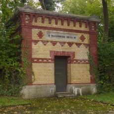
Wasserreservoir Bruck
3.2 km
Wohnhaus der ehemaligen Wassermühle und Zweihof
1.6 km
Moore und Buchenwälder zwischen Etterschlag und Fürstenfeldbruck
405 m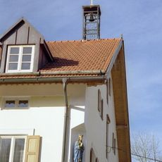
Dreiseithof Pentenrieder
2.9 km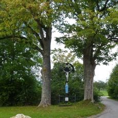
Wegkreuz Nord (Biburg)
2.8 km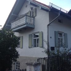
Wohnhaus
1.7 km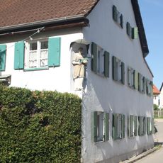
Hausfigur St. Stephan
2.8 km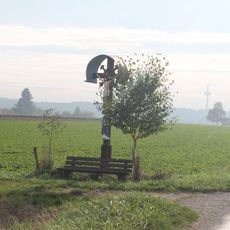
Wegkreuz unter Birken
1.6 km
Stall- und Remisengebäude des Vierseithofes
1.7 kmVisited this place? Tap the stars to rate it and share your experience / photos with the community! Try now! You can cancel it anytime.
Discover hidden gems everywhere you go!
From secret cafés to breathtaking viewpoints, skip the crowded tourist spots and find places that match your style. Our app makes it easy with voice search, smart filtering, route optimization, and insider tips from travelers worldwide. Download now for the complete mobile experience.

A unique approach to discovering new places❞
— Le Figaro
All the places worth exploring❞
— France Info
A tailor-made excursion in just a few clicks❞
— 20 Minutes