
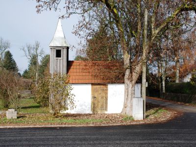
Hofkapelle, building in Valley, Upper Bavaria, Germany
Location: Valley
Address: Nähe Mühlfeldstraße
GPS coordinates: 47.88328,11.76585
Latest update: March 10, 2025 08:27
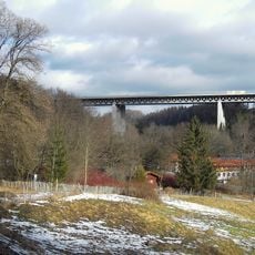
Mangfall Bridge
2.2 km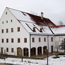
Orgelzentrum Valley
1.5 km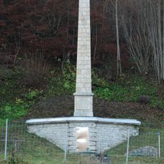
Obelisk am Kasperlbach
2.3 km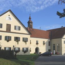
Neues Schloss Valley
1.5 km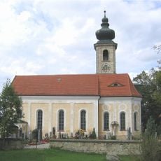
Sankt Johannes der Täufer (Unterdarching)
754 m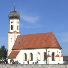
St. Korbinian
2.1 km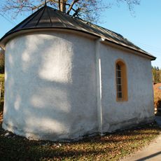
Hofkapelle der Aumühle
2.1 km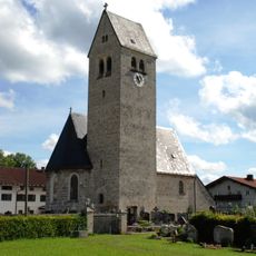
St. Michael
1.6 km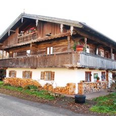
Bergstraße 46
2.3 km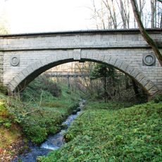
Aquädukt der Münchener Wasserleitung
1.7 km
Gasthof Maxlmühle
1.5 km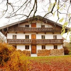
Bauernhaus
2.2 km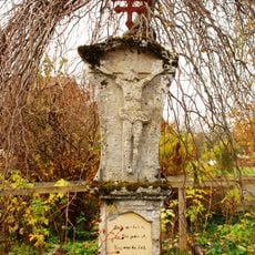
Bildstock
2.3 km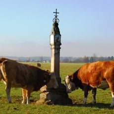
Bildstock
1.2 km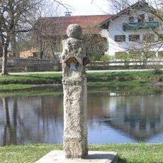
Gerichtssäule
2.1 km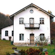
Ehemaliges E-Werk
1.4 km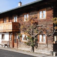
Ehemals Kleinbauernhaus
67 m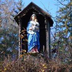
Bildstock
2 km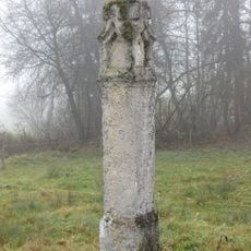
Bildstock
2.2 km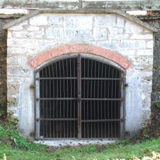
Bierkellereingang und Stützmauern
1.5 km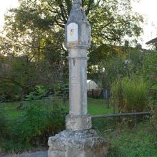
Bildstock
985 m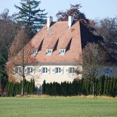
Ehemals Gräflich Arco-Valley`sches Forsthaus
1.3 km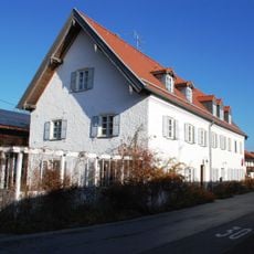
Ehemals Amts- und Schulhaus
1 km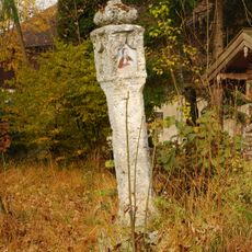
Bildstock
1.4 km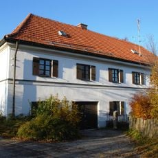
Ehemals Kuratenhaus, dann Pfarrhof
1.9 km
Sankt-Korbinian-Straße 8
2.3 km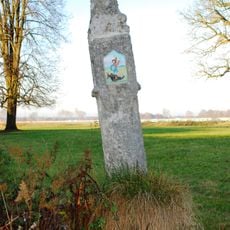
Bildstock Lindmayrstraße
1.3 km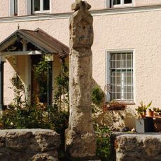
Bildstock
1.7 kmReviews
Visited this place? Tap the stars to rate it and share your experience / photos with the community! Try now! You can cancel it anytime.
Discover hidden gems everywhere you go!
From secret cafés to breathtaking viewpoints, skip the crowded tourist spots and find places that match your style. Our app makes it easy with voice search, smart filtering, route optimization, and insider tips from travelers worldwide. Download now for the complete mobile experience.

A unique approach to discovering new places❞
— Le Figaro
All the places worth exploring❞
— France Info
A tailor-made excursion in just a few clicks❞
— 20 Minutes