
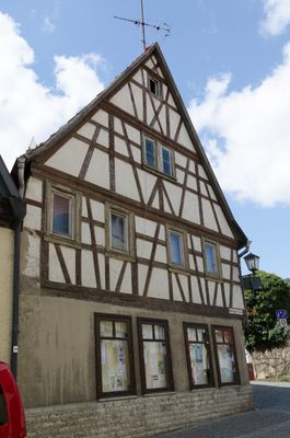
Wohnwirtschaftsgebäude, cultural heritage monument D-6-79-128-7 (0) in Erlabrunn, Bavaria
Location: Erlabrunn
Address: Röthenstraße 1
GPS coordinates: 49.85966,9.84266
Latest update: April 12, 2025 12:43
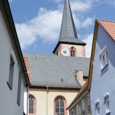
Pfarrkirche
66 m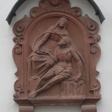
Wohngebäude
236 m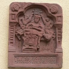
Relief
161 m
Hoftor Zellinger Straße 5 in Erlabrunn
70 m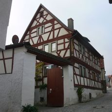
Wohngebäude
44 m
Wohngebäude
11 m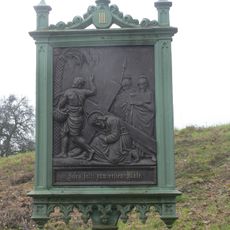
Kreuzwegstation III
223 m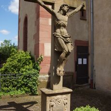
Kreuz
70 m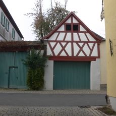
Austragshaus
75 m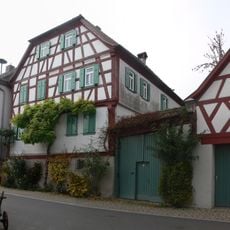
Hofanlage
63 m
Gasthof
25 m
Wohngebäude
30 m
Wohngebäude
95 m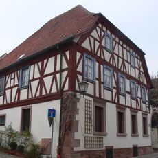
Wohngebäude
151 m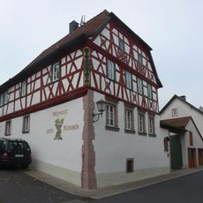
Wohngebäude
242 m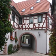
Gasthof
53 m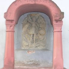
Bildstock
157 m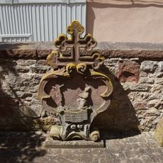
Grabmal
63 m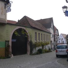
Hoftor
17 m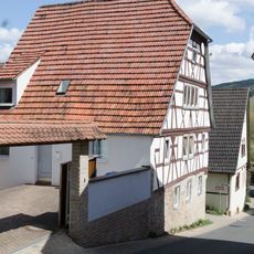
Wohngebäude
95 m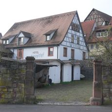
Scheune
106 m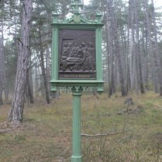
Kreuzweg
177 m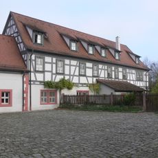
Hofanlage
145 m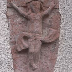
Relief
148 m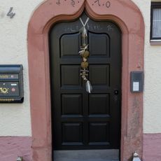
Türgewände
50 m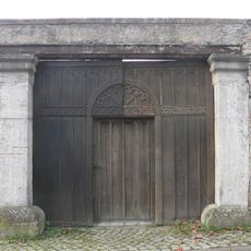
Einfriedung
139 m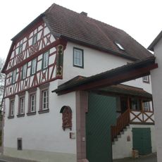
Hoftor Würzburger Straße 34 in Erlabrunn
235 m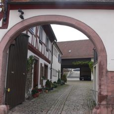
Hoftor Würzburger Straße 14; Würzburger Straße 16 in Erlabrunn
144 mReviews
Visited this place? Tap the stars to rate it and share your experience / photos with the community! Try now! You can cancel it anytime.
Discover hidden gems everywhere you go!
From secret cafés to breathtaking viewpoints, skip the crowded tourist spots and find places that match your style. Our app makes it easy with voice search, smart filtering, route optimization, and insider tips from travelers worldwide. Download now for the complete mobile experience.

A unique approach to discovering new places❞
— Le Figaro
All the places worth exploring❞
— France Info
A tailor-made excursion in just a few clicks❞
— 20 Minutes