
Friedhof, ummauerte symmetrische Anlage mit Torbogen, Leichenhalle und Gruftarkadenwänden, zweite Hälfte 19. Jahrhundert;
Location: Dorfen
Address: Ruprechtsberg 20
GPS coordinates: 48.27719,12.14582
Latest update: April 13, 2025 00:25
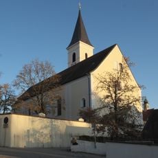
Wallfahrtskirche Mariä Himmelfahrt (Dorfen)
211 m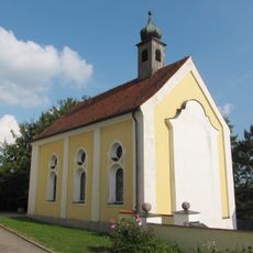
Schulterwundenkapelle
228 m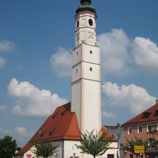
Sankt Vitus in Dorfen
538 m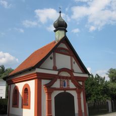
Etzkapelle Dorfen
752 m
St. Sebastian
682 m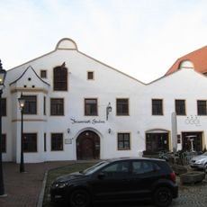
Ehemaliges Brauereigasthaus, sog. Bräuwinkl-Stuben
510 m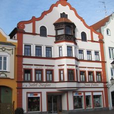
Wohn- und Geschäftshaus
528 m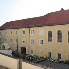
Ehemaliges Priesterhaus
212 m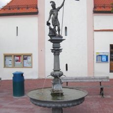
Floriansbrunnen
542 m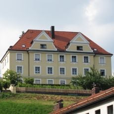
Pfarramt
251 m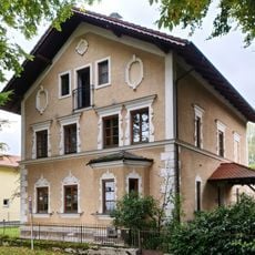
Bahnweg 25
995 m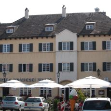
Ehemaliger Brauereigasthof
538 m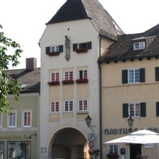
Isener Tor
547 m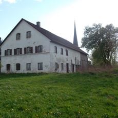
Mesnerhaus
1.7 km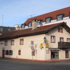
Ehemaliges Brothaus
514 m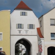
Altöttinger Tor
645 m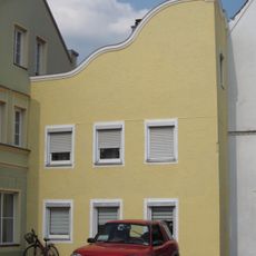
Wohnhaus
640 m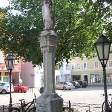
Mariensäule
537 m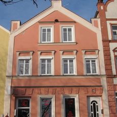
Wohn- und Geschäftshaus
593 m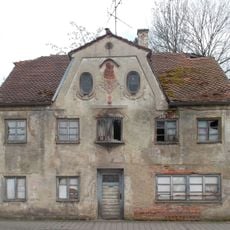
Wohnhaus
416 m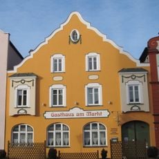
Gasthaus
513 m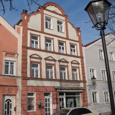
Wohn- und Geschäftshaus
598 m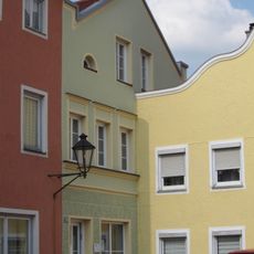
Wohnhaus
634 m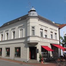
Wohn- und Geschäftshaus
359 m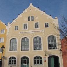
Gasthaus zum Jakobmayer
542 m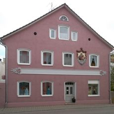
Erdinger Straße 1
363 m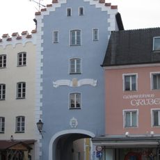
Kirchtor
470 m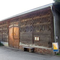
Bundwerkstadel Mühlangerstraße
638 mReviews
Visited this place? Tap the stars to rate it and share your experience / photos with the community! Try now! You can cancel it anytime.
Discover hidden gems everywhere you go!
From secret cafés to breathtaking viewpoints, skip the crowded tourist spots and find places that match your style. Our app makes it easy with voice search, smart filtering, route optimization, and insider tips from travelers worldwide. Download now for the complete mobile experience.

A unique approach to discovering new places❞
— Le Figaro
All the places worth exploring❞
— France Info
A tailor-made excursion in just a few clicks❞
— 20 Minutes