
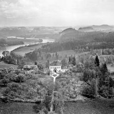
Bundwerkstadel, Kobl; Erste Hälfte 19. Jahrhundert
Location: Wasserburg am Inn
Address: Kobl 1
GPS coordinates: 48.06802,12.20549
Latest update: March 10, 2025 21:52
Hesse-Schlössl
889 m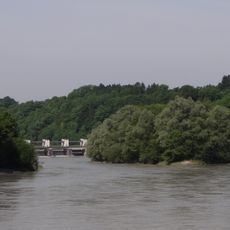
Kapuzinerinsel
1.7 km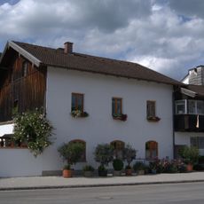
Wohnhaus
1.7 km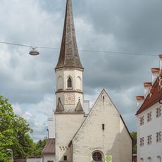
Burgkapelle St. Ägidius
1.9 km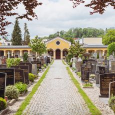
Friedhofskirche Im Hag 7 in Wasserburg am Inn
1.9 km
Wohnhaus
1.7 km
Friedhofskirche Nähe Neustraße; Im Hag; Nähe An der Stadtmauer in Wasserburg am Inn
1.9 km
Wohnhaus mit Gastronomie
1.9 km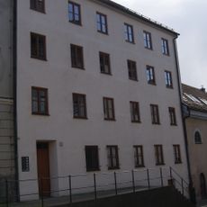
Wohnhaus
1.8 km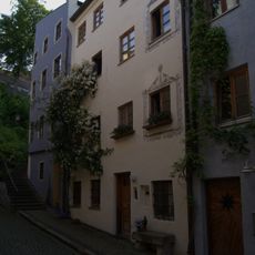
Wohnhaus
1.9 km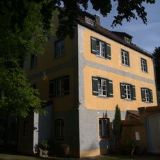
Wohnhaus der ehemaligen Knoppermühle
1.7 km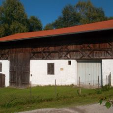
Bundwerkstadel
910 m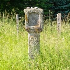
Bildstock
1.2 km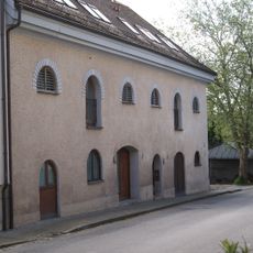
Ehemaliges Speichergebäude
1.8 km
Wohn- und Geschäftshaus
1.9 km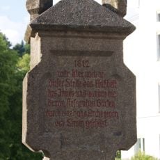
Gedenkstein
1.8 km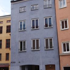
Wohn- und Geschäftshaus
1.9 km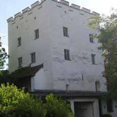
Ehemaliger Befestigungsturm der Stadtbefestigung mit Resten der Wehrmauer
1.9 km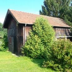
Blockbau-Obergeschoss eines ehemaligen Einfirsthofes
1.3 km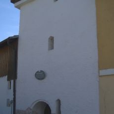
Ehemaliger Verteidigungsturm der Stadt, nach 1860 Pulverturm,
1.5 km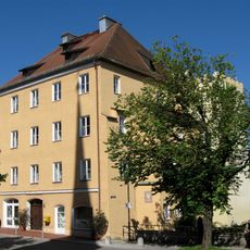
Wohnhaus, sogenanntes Noder´sches Haus
1.9 km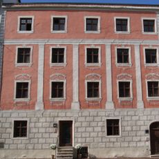
Ehemaliges Dechanthaus
1.9 km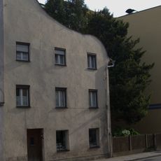
Wohnhaus
1.9 km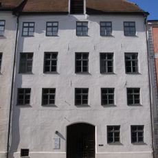
Ehemaliges Rentamt, dann Bezirksamt, jetzt Vermessungsamt
1.9 km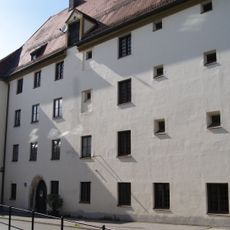
Ehemaliges Richter- und Pflegerhaus, Seit dem frühen 19. Jahrhundert Gefängnis
1.8 km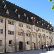
Auf der Burg 9
1.9 km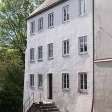
Wohnhaus
1.8 km
Ehemaliges Amtsgebäude
1.9 kmReviews
Visited this place? Tap the stars to rate it and share your experience / photos with the community! Try now! You can cancel it anytime.
Discover hidden gems everywhere you go!
From secret cafés to breathtaking viewpoints, skip the crowded tourist spots and find places that match your style. Our app makes it easy with voice search, smart filtering, route optimization, and insider tips from travelers worldwide. Download now for the complete mobile experience.

A unique approach to discovering new places❞
— Le Figaro
All the places worth exploring❞
— France Info
A tailor-made excursion in just a few clicks❞
— 20 Minutes