
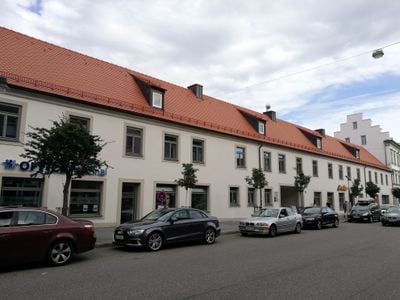
Ökonomiegut, westflügel des Ökonomieguts der Jesuiten, nach 1861 als Festungsschirrhof genutzt, sog. Hahnenhof, zweigeschossiger straßenseitiger Trakt zu 19 Obergeschossachsen mit Walmdach, 18. Jahrhundert, verschlepptes spätgotisches Portal in der Tordurchfa
Location: Ingolstadt
Address: Harderstraße 24
GPS coordinates: 48.76738,11.42259
Latest update: March 4, 2025 07:00

Reuchlin-Gymnasium
103 m
Johannesstraße 1
147 m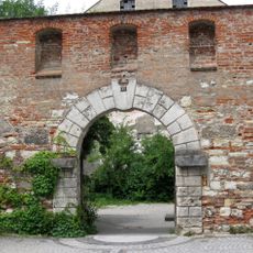
Hard Bastion
157 m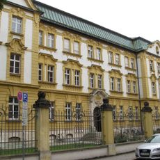
Amtsgericht Ingolstadt, Neubaustraße 8
153 m
Johannesstraße 7
164 m
Dienstwohngebäude
95 m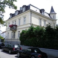
Villa
105 m
Esplanade 29
73 m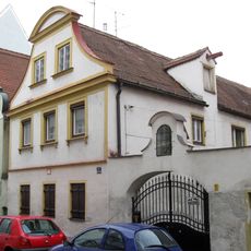
Johannesstraße 5
161 m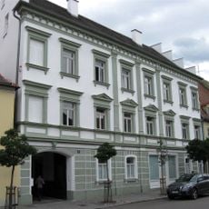
Wohn- und Geschäftshaus
33 m
Wohn- und Geschäftshaus
45 m
Zum Weissen Lamm
42 m
Knabenpensionat
93 m
Wohnhaus
64 m
Schäffbräu
91 m
Ingolstadt Harderstrasse 10
144 m
Lenzbräu
123 m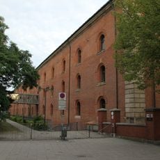
Neues Zeughaus
162 m
Stadtmauer
106 m
Mittelalterliche Stadtbefestigungen
113 m
Wohnhaus
79 m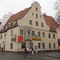
Harderstraße 20
66 m
Wohn- und Geschäftshaus
85 m
Fausthaus
138 m
Wohnhaus
64 m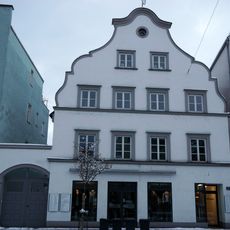
Bürgerwohnhaus
119 m
Wohn- und Geschäftshaus
104 m
Stadtmauer
113 mReviews
Visited this place? Tap the stars to rate it and share your experience / photos with the community! Try now! You can cancel it anytime.
Discover hidden gems everywhere you go!
From secret cafés to breathtaking viewpoints, skip the crowded tourist spots and find places that match your style. Our app makes it easy with voice search, smart filtering, route optimization, and insider tips from travelers worldwide. Download now for the complete mobile experience.

A unique approach to discovering new places❞
— Le Figaro
All the places worth exploring❞
— France Info
A tailor-made excursion in just a few clicks❞
— 20 Minutes