
Wegkreuz, stein, bezeichnet mit dem Jahr 1890, mit Sockelrelief
Location: Schwabsoien
Address: Südöstlich des Weilers an der Straße nach Sachsenried
GPS coordinates: 47.83914,10.78872
Latest update: March 8, 2025 16:04

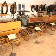
Kutschenmuseum Schwabsoien
2.9 km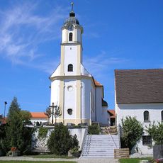
St. Georg (Ingenried)
2.7 km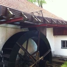
Hammerschmiedemuseum Schwabsoien
2.6 km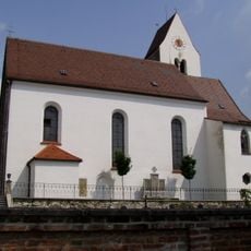
St. Walburga
3.9 km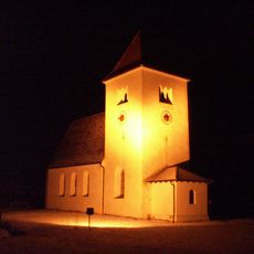
St. Jakobus der Ältere
3.8 km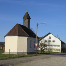
Kapelle Heilig Kreuz
4.4 km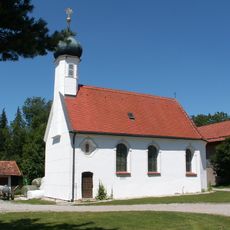
Kapelle St. Stephan und Ulrich
3 km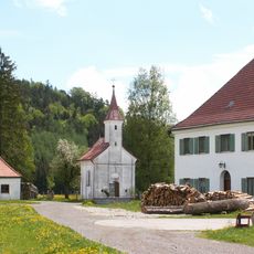
Katholische Kapelle St. Anna
3.9 km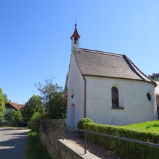
Rosenkranzkapelle
3.8 km
Katholische Kapelle Allerheiligen
4 km
Feldkapelle
448 m
Katholische Kapelle St. Antonius von Padua
4.4 km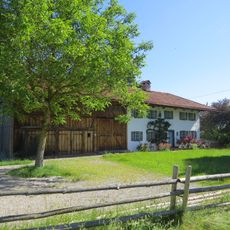
Bauernhaus
3.7 km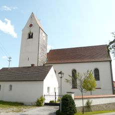
St. Walburga
3.9 km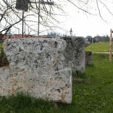
Drei Steinkreuze
3.8 km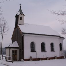
St. Leonhard
296 m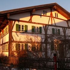
Welfenstraße 5
2.8 km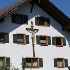
Kruzifix
3.8 km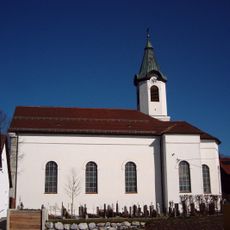
St. Stephan
3.3 km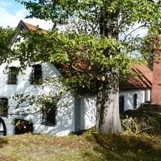
Wasserpumpenhaus
2.7 km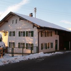
Bauernhaus
2.8 km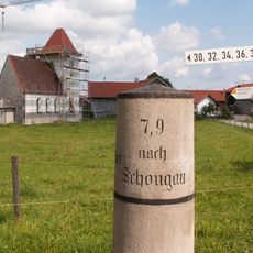
Bayrische Kilometersäule
3.8 km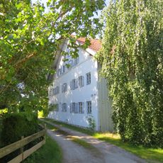
Bauernhaus
4.3 km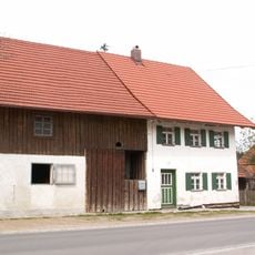
Bauernhaus
3.4 km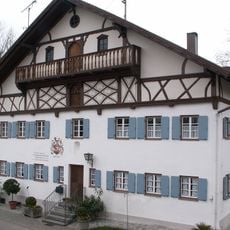
Ehemalige Mühle
3.8 km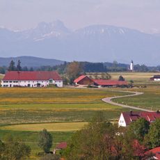
Ehem. Schwaighof
3.9 km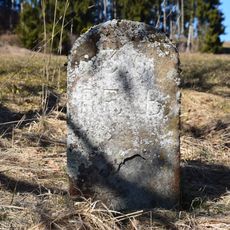
Grenzstein Engenschwang
2.6 km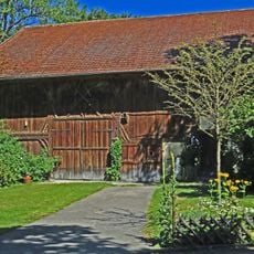
Pfarrhaus
3.8 kmReviews
Visited this place? Tap the stars to rate it and share your experience / photos with the community! Try now! You can cancel it anytime.
Discover hidden gems everywhere you go!
From secret cafés to breathtaking viewpoints, skip the crowded tourist spots and find places that match your style. Our app makes it easy with voice search, smart filtering, route optimization, and insider tips from travelers worldwide. Download now for the complete mobile experience.

A unique approach to discovering new places❞
— Le Figaro
All the places worth exploring❞
— France Info
A tailor-made excursion in just a few clicks❞
— 20 Minutes