
Forstdiensthütte, stattlicher Bau im Heimatstil, Erdgeschoss massiv mit geböschten Eckpfeilern und Rotmarmorportal, Obergeschoss Blockbau mit umlaufender Laube und seitlichem Aufgang, erbaut 1930/1940
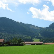
Location: Ruhpolding
Address: Seehaus 1
GPS coordinates: 47.71128,12.62200
Latest update: November 21, 2025 18:31
Unternberg
2.4 km
Schlösselschneid
1.7 km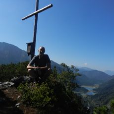
Seekopf (Ruhpolding)
207 m
Lödenalm
2.4 km
Seeklause
103 m
Almhütte
1.5 km
Almhütte
1.8 km
Almhütte
2.8 km
Sulzgraben Kopf
2.4 km
Steinkreuz
1.8 km
Gschöß-Wände
2.5 km
Kapelle
146 m
Durlach Kopf
1.5 km
Kaser Lödenalm in Ruhpolding
2.3 km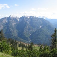
Östliche Chiemgauer Alpen
2.8 km
Richtstrich Kopf
1.9 km
Seekopf
696 m
Saurüsselkopf
2.6 km
Wehr
104 m
Kaser Lödenalm in Ruhpolding
2.3 km
Doppelkaser Lödenalm in Ruhpolding
2.3 km
Scenic viewpoint
698 m
Unseren Gefallenen und Verstorbenen
1.7 km
Wayside cross
2.4 km
Sepp Goerke
1.7 km
Ruins
2.5 km
Wayside cross
1.8 km
Waterfall
2 kmReviews
Visited this place? Tap the stars to rate it and share your experience / photos with the community! Try now! You can cancel it anytime.
Discover hidden gems everywhere you go!
From secret cafés to breathtaking viewpoints, skip the crowded tourist spots and find places that match your style. Our app makes it easy with voice search, smart filtering, route optimization, and insider tips from travelers worldwide. Download now for the complete mobile experience.

A unique approach to discovering new places❞
— Le Figaro
All the places worth exploring❞
— France Info
A tailor-made excursion in just a few clicks❞
— 20 Minutes