
, bildstock, mit rundem Schaft, wohl 18. Jahrhundert, und gusseisernem Kruzifix, Ende 19. Jahrhundert; südlich am Wald
Location: Schnaitsee
Address: Buchet 1
GPS coordinates: 48.09404,12.37825
Latest update: June 10, 2025 22:34
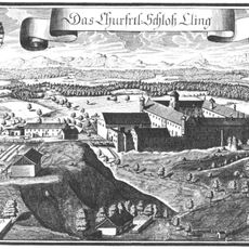
Schloss Kling
4.4 km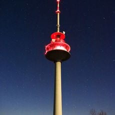
Fernmeldeturm Schnaitsee
1.6 km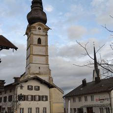
Mariä Himmelfahrt (Schnaitsee)
2.6 km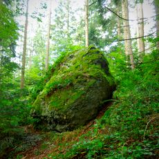
Bräundlstein
6.5 km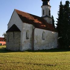
St. Aegidius
8.7 km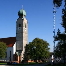
St. Andreas
5.4 km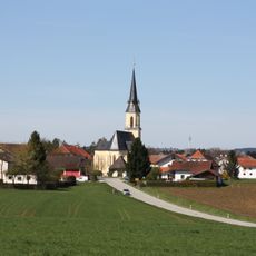
Katholische Pfarrkirche St. Peter und Paul
7.3 km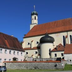
St. Leonhard am Buchat
3.6 km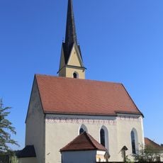
St. Peter
3.4 km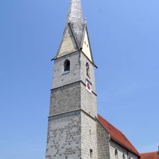
St. Vitus
8.6 km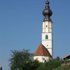
St. Jakobus der Ältere
8.6 km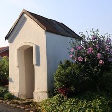
Wegkapelle
8.4 km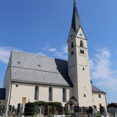
St. Martin
8.1 km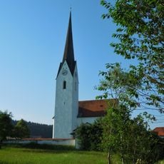
Katholische Filialkirche St. Bartholomäus
6.6 km
Lourdeskapelle Kling
4.4 km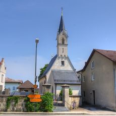
Friedhofskapelle
8.6 km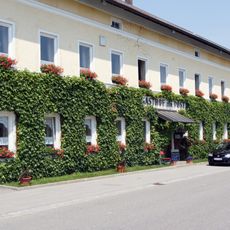
Gasthaus
8.6 km
St. Martin
2.5 km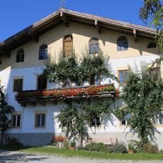
Kirchloibersdorf 4
3.5 km
Ehemaliger Adelssitz
7.4 km
Parallelhof Kling
4.5 km
Innauen und Leitenwälder
5.3 km
St. Nikolaus (Berg, Schnaitsee)
3.1 km
Kraiburger Straße 15
7.9 km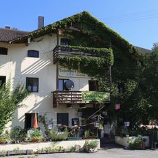
Tafernwirt St. Leonhard am Buchat
3.6 km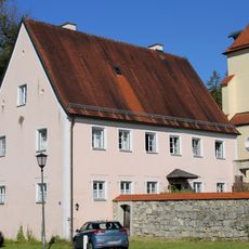
Benefiziatenhaus St. Leonhard am Buchat
3.6 km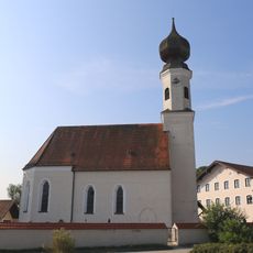
St. Ägidius (Unterreit)
4.3 km
Wasserburger Straße 7
8.2 kmReviews
Visited this place? Tap the stars to rate it and share your experience / photos with the community! Try now! You can cancel it anytime.
Discover hidden gems everywhere you go!
From secret cafés to breathtaking viewpoints, skip the crowded tourist spots and find places that match your style. Our app makes it easy with voice search, smart filtering, route optimization, and insider tips from travelers worldwide. Download now for the complete mobile experience.

A unique approach to discovering new places❞
— Le Figaro
All the places worth exploring❞
— France Info
A tailor-made excursion in just a few clicks❞
— 20 Minutes