
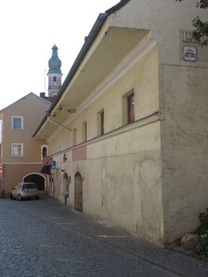
Spitalgasse 21, zwei Paralleltrakte, zweite Hälfte 16. Jahrhundert, südlicher Trakt zweigeschossig mit Greddach, nördlicher Trakt zweigeschossiger Steildachbau, Ziegelstein, Überdachung des Zwischenraumes durch Flachsatteldach, erstes Viertel 19. Jahrhundert
Location: Straubing
Address: Spitalgasse 21
GPS coordinates: 48.88393,12.56983
Latest update: March 8, 2025 15:56
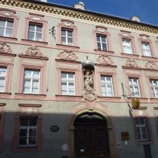
Gäubodenmuseum Straubing
78 m
Fürstenstraße 8
131 m
Dreiteiliges Vorstadt-Wohnhaus
132 m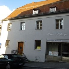
Simon-Höller-Straße 28
77 m
Zollergasse 11
134 m
Kleine traufseitige Wohnhäuser
96 m
Simon-Höller-Straße 19 (Straubing)
133 m
Simon-Höller-Straße 23
117 m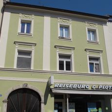
Simon-Höller-Straße 18
125 m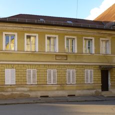
Ehemaliges Lehrerhaus
117 m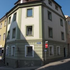
Spitalgasse 17
31 m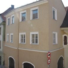
Spitalgasse 19
22 m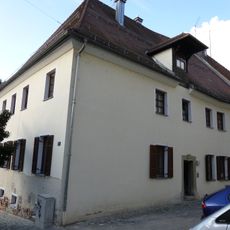
Am Spitalthor 6
36 m
Fraunhoferstraße 15
129 m
Bürgerhaus
98 m
Spitalgasse 25
28 m
Spitzwegwinkel 9
37 m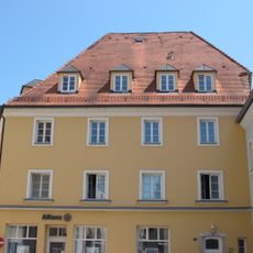
Rot-Kreuz-Platz 4
103 m
Am Spitalthor 6 c
37 m
Fraunhoferstraße 13
135 m
Bürgerhaus
73 m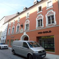
Fraunhoferstraße 17
117 m
Fraunhoferstraße 20 (Straubing)
131 m
Fraunhoferstraße 21 (Straubing)
100 m
Fraunhoferstraße 29 (Straubing)
51 m
Fraunhoferstraße 30
86 m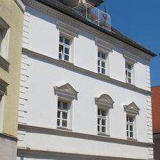
Fürstenstraße 3 (Straubing)
101 m
Bürgerhaus
45 mVisited this place? Tap the stars to rate it and share your experience / photos with the community! Try now! You can cancel it anytime.
Discover hidden gems everywhere you go!
From secret cafés to breathtaking viewpoints, skip the crowded tourist spots and find places that match your style. Our app makes it easy with voice search, smart filtering, route optimization, and insider tips from travelers worldwide. Download now for the complete mobile experience.

A unique approach to discovering new places❞
— Le Figaro
All the places worth exploring❞
— France Info
A tailor-made excursion in just a few clicks❞
— 20 Minutes