
, bundwerkstadel (Südflügel des Vierseithofes), mit bemaltem Torschmuck, bezeichnet mit dem Jahr 1841; neben dem Hof frei stehender, zweigeschossiger Getreidekasten mit Ausmalung im Inneren, über der oberen Tür bezeichnet mit dem Jahr 1682
Location: Tittmoning
Address: Oberöd 1
GPS coordinates: 48.02008,12.71472
Latest update: March 30, 2025 09:49
Burg Tittmoning
5.8 km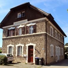
Bahnhof Tittmoning
6 km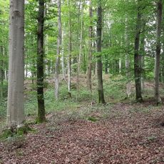
Burg Törring
1.8 km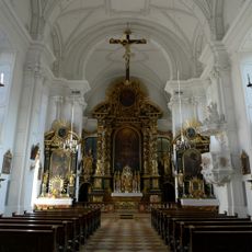
Klosterkirche Tittmoning
6 km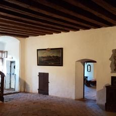
Heimathaus Rupertiwinkel
5.8 km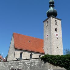
St. Johann Baptist (Tyrlaching)
5.7 km
St. Martin
6 km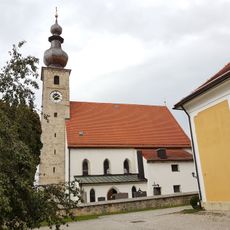
St. Vitus
3 km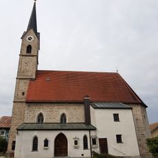
St. Laurentius
3 km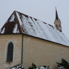
St. Coloman
3.7 km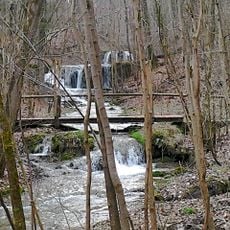
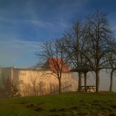
LSG Ponlachgraben mit angrenzenden Laubwaldteilen
5.6 km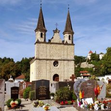
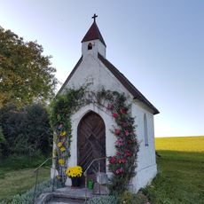
Friedhofskapelle
6 km
Heigermoos
3.4 km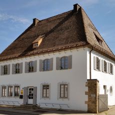
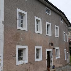
Wohnhaus
6 km
Mariä Brunn
5.5 km
Mühlgebäude
5.8 km
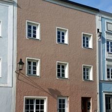
Wohnhaus
6 km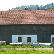
Bundwerkstadel
5.9 kmReviews
Visited this place? Tap the stars to rate it and share your experience / photos with the community! Try now! You can cancel it anytime.
Discover hidden gems everywhere you go!
From secret cafés to breathtaking viewpoints, skip the crowded tourist spots and find places that match your style. Our app makes it easy with voice search, smart filtering, route optimization, and insider tips from travelers worldwide. Download now for the complete mobile experience.

A unique approach to discovering new places❞
— Le Figaro
All the places worth exploring❞
— France Info
A tailor-made excursion in just a few clicks❞
— 20 Minutes