
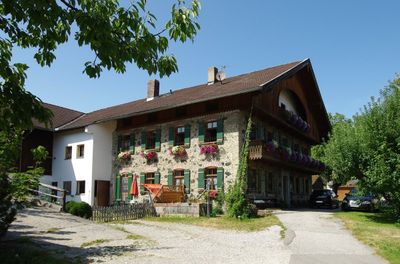
Wohnhaus, sogenanntes Binderhäusl, building in Ainring, Upper Bavaria, Germany
Location: Ainring
Address: Thundorf 39
GPS coordinates: 47.82157,12.90474
Latest update: April 6, 2025 02:19
Högl
1.5 km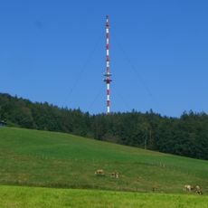
Sender Högl
1.8 km
Schloss Adelstetten
3.2 km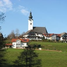
Sankt Ulrich
2 km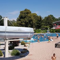
Rutsche im Freibad Ainring
3.3 km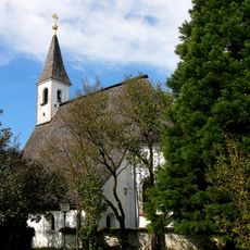
St. Georg und Leonhard
2.5 km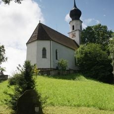
St. Laurentius und Mauritius
2.8 km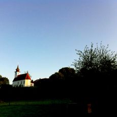
St. Georg
3.6 km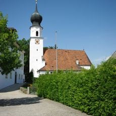
Katholische Pfarrkirche St. Laurentius und Martinus
2.7 km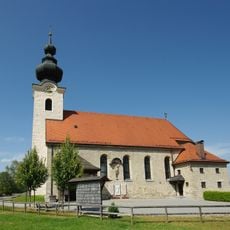
St. Martin
158 m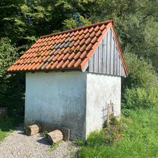
Kapelle Mühlwiesen
3.5 km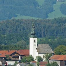
St. Nikolaus
2.1 km
Kapelle
1.4 km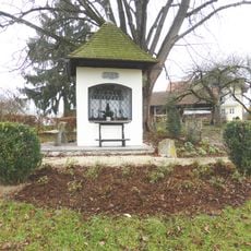
Wegkapelle Adelstetten
3.2 km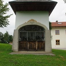
Wegkapelle
2.1 km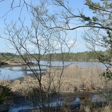
LSG Ainringer und Peracher Moos
2.3 km
Schutz des Ulrichshögl, Gemeinde Ainring
2.2 km
Ehemaliges Schulhaus
2.8 km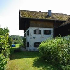
Bauernhaus
3.1 km
Ehemaliges Zuhaus der Mühle
3.5 km
Bauernhaus
3 km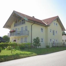
Wohnhaus
3.2 km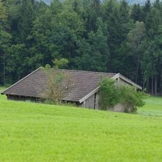
Ehemaliges Brechelbad
2.6 km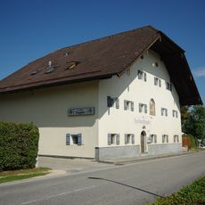
Gasthof Doppler
3.2 km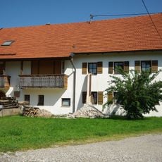
Bauernhaus
3.1 km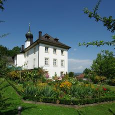
Pfarrhof
2.7 km
Pfarrstadel
2.8 km
Zugehörig Brechlbad
1.9 kmReviews
Visited this place? Tap the stars to rate it and share your experience / photos with the community! Try now! You can cancel it anytime.
Discover hidden gems everywhere you go!
From secret cafés to breathtaking viewpoints, skip the crowded tourist spots and find places that match your style. Our app makes it easy with voice search, smart filtering, route optimization, and insider tips from travelers worldwide. Download now for the complete mobile experience.

A unique approach to discovering new places❞
— Le Figaro
All the places worth exploring❞
— France Info
A tailor-made excursion in just a few clicks❞
— 20 Minutes