
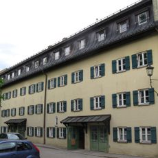
Stadel, zugehörig Nebengebäude, als Stadel genutzt, in der Südostecke zweigeschossiger, massiver Wohnteil, im Obergeschoss Reste des ursprünglichen Ständerbaus, wohl Mitte 19. Jahrhundert, mehrfach verändert
Location: Surberg
Address: In Wüstenreit
GPS coordinates: 47.87883,12.70477
Latest update: March 21, 2025 06:21
St. Oswald
4.4 km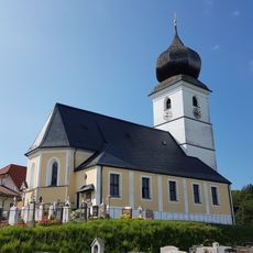
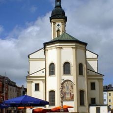
St. Georg
1.9 km
St. Vitus und Anna
3.6 km
Salinenkapelle
4.4 km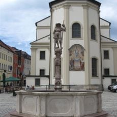
Lindlbrunnen
4.3 km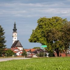
Sankt Leonhard
4.2 km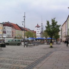
Ensemble Stadtplatz
4.3 km
Schaumburgerstraße 1 Traunstein
4.4 km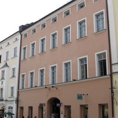
Stadtplatz 38
4.4 km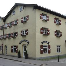
Maximiliani-Wilhelmi-Stock
4.4 km
Elternhaus von Papst Benedikt XVI. in Hufschlag
3.1 km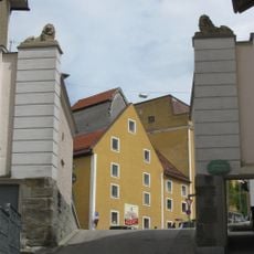
Aubergtor
4.3 km
Schaumburgerstraße 7 Traunstein
4.4 km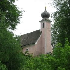
St. Salvator und Joseph
4.1 km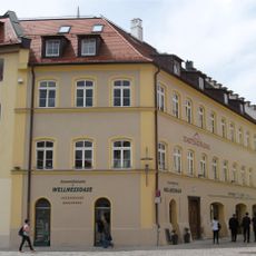
Ehemalige Höllbrauerei
4.4 km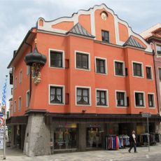
Stadtplatz 8 Traunstein
4.4 km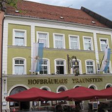
Stadtplatz 20
4.3 km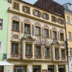
Stadtplatz 12
4.4 km
Wohn- und Geschäftshaus
4.3 km
Rückgebäude der ehemaligen Brauerei
4.2 km
Gasthaus Höllbräu
4.4 km
Schaumburgerstraße 15 Traunstein
4.4 km
Rathaus
4.4 km
Taubenmarkt 5 Traunstein
4.4 km
Taubenmarkt 7 Traunstein
4.4 km
Bürgerhaus
4.4 km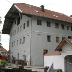
Marienstock
4.4 kmReviews
Visited this place? Tap the stars to rate it and share your experience / photos with the community! Try now! You can cancel it anytime.
Discover hidden gems everywhere you go!
From secret cafés to breathtaking viewpoints, skip the crowded tourist spots and find places that match your style. Our app makes it easy with voice search, smart filtering, route optimization, and insider tips from travelers worldwide. Download now for the complete mobile experience.

A unique approach to discovering new places❞
— Le Figaro
All the places worth exploring❞
— France Info
A tailor-made excursion in just a few clicks❞
— 20 Minutes