
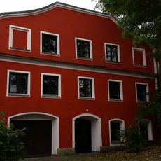
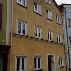
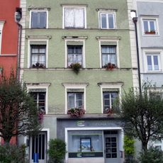
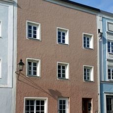
Laufener Straße 22, bauernhaus, als Einfirstbau errichtet Ende 19. Jahrhundert, ausgebaut mit mittigem Quergiebel, bezeichnet mit dem Jahr 1907, und insgesamt historisierend überformt
Location: Tittmoning
Address: Laufener Straße 22
GPS coordinates: 48.05730,12.77033
Latest update: May 15, 2025 01:05
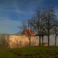
Burg Tittmoning
646 m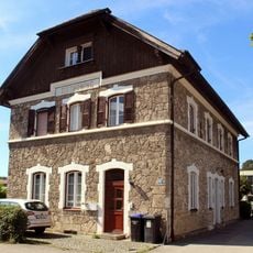
Bahnhof Tittmoning
296 m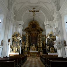
Klosterkirche Tittmoning
504 m
Stadtplatz 28
472 m
Stadtplatz 4a, 4b
596 m
Friedhofskapelle
338 m
Wohnhaus
439 m
Mühlgebäude
576 m
Stadtplatz 40
606 m
Stadtplatz 39
585 m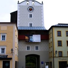
Salzburger Tor
416 m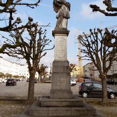
Johann-Nepomuk-Säule
554 m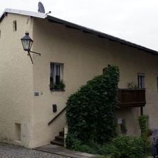
Stadtplatz 3
609 m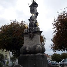
Immaculata-Säule
601 m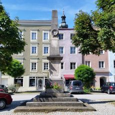
Stadtplatz 5
588 m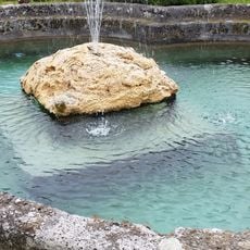
Pferdeschwemme
625 m
Stadtplatz 24
436 m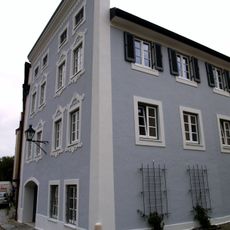
Wohnhaus
549 m
Stadtplatz 35
531 m
Stadtplatz 36, 37a, 37c
543 m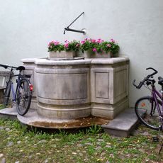
Stadtplatz 41
621 m
Reviews
Visited this place? Tap the stars to rate it and share your experience / photos with the community! Try now! You can cancel it anytime.
Discover hidden gems everywhere you go!
From secret cafés to breathtaking viewpoints, skip the crowded tourist spots and find places that match your style. Our app makes it easy with voice search, smart filtering, route optimization, and insider tips from travelers worldwide. Download now for the complete mobile experience.

A unique approach to discovering new places❞
— Le Figaro
All the places worth exploring❞
— France Info
A tailor-made excursion in just a few clicks❞
— 20 Minutes