
Ehemals Bauernhof,, pom; zweigeschossiger Einfirsthof mit Blockbau-Obergeschoss, flachem Satteldach und Lauben, 17. Jahrhundert
Location: Teisendorf
Address: Pom 4
GPS coordinates: 47.82701,12.86215
Latest update: March 7, 2025 01:27
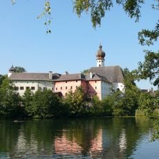
Höglwörth Abbey
1.8 km
Högl
3.5 km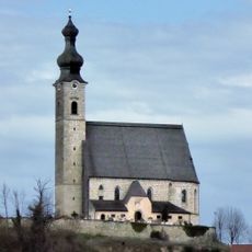
Pfarrkirche Mariä Himmelfahrt (Anger, Berchtesgadener Land)
2.8 km
St. Georg und Leonhard
825 m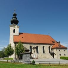
St. Martin
3.3 km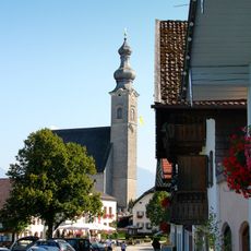
Katholische Pfarrkirche St. Mariä Himmelfahrt
2.8 km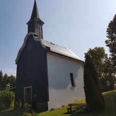
St. Anna
2.9 km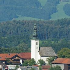
St. Nikolaus
2.6 km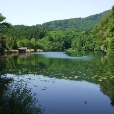
LSG Höglwörther See, Gemeinde Anger
1.7 km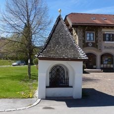
Kapelle
2.5 km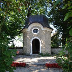
Kriegergedächtniskapelle St. Michael
3.8 km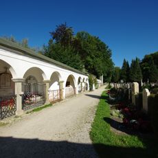
Friedhof Teisendorf
3.8 km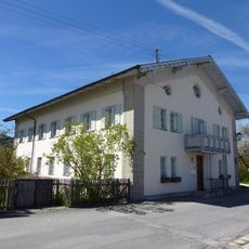
Pfarrhof
2.6 km
Gasthaus Metzgerwirt
2.6 km
Dechantshof
2.9 km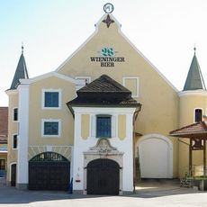
Kellerbau der Brauerei Wieninger
3.7 km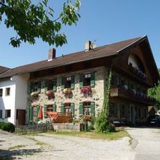
Wohnhaus, sogenanntes Binderhäusl
3.2 km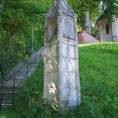
Pfeilerbildstock, sogenannte Totenleuchte
3.7 km
Wohnhaus
2.6 km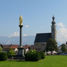
Mariensäule
2.6 km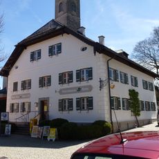
Ehemaliges Mesnerhaus
2.7 km
Wohnteil des ehemaligen Bauernhofs, sogenannt beim Süßen bzw. Österer
3.8 km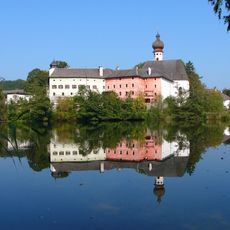
Ensemble Augustinerchorherrenstift Höglwörth
1.8 km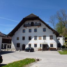
Pfaffendorfer Mühle
2.8 km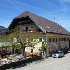
Gasthaus Post
2.7 km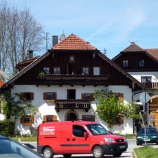
Wohnhaus
2.6 km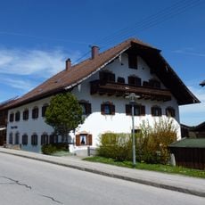
Wohnhaus
2.5 km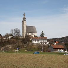
'''Ensemble Ortskern Anger'''
2.6 kmReviews
Visited this place? Tap the stars to rate it and share your experience / photos with the community! Try now! You can cancel it anytime.
Discover hidden gems everywhere you go!
From secret cafés to breathtaking viewpoints, skip the crowded tourist spots and find places that match your style. Our app makes it easy with voice search, smart filtering, route optimization, and insider tips from travelers worldwide. Download now for the complete mobile experience.

A unique approach to discovering new places❞
— Le Figaro
All the places worth exploring❞
— France Info
A tailor-made excursion in just a few clicks❞
— 20 Minutes