
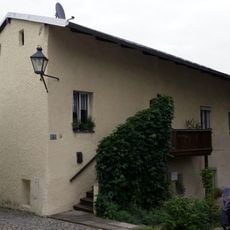
, wohnstallhaus (Nordflügel des Vierseithofes), Mitterstubentyp, mit Blockbau-Obergeschoss und zwei Lauben, im Kern Anfang 17. Jahrhundert, bezeichnet mit dem Jahr 1777; Gitterbundwerkstadel (Südflügel), bezeichnet mit dem Jahr 1847, von Zimmermeist
Location: Tittmoning
Address: Biering 1
GPS coordinates: 48.06554,12.73623
Latest update: March 26, 2025 11:26
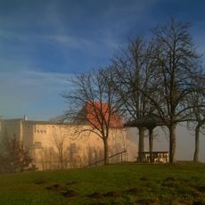
Burg Tittmoning
2.1 km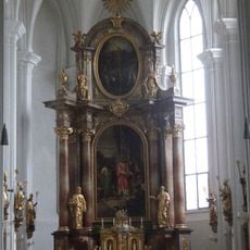
St. Laurentius
2.2 km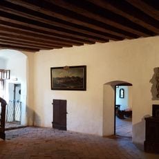
Heimathaus Rupertiwinkel
2.1 km
Ettenau
2.3 km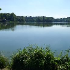
Schutz des Leitgeringer Sees und der ihn umgebenden Landschaft
917 m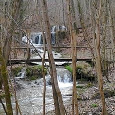
LSG Ponlachgraben mit angrenzenden Laubwaldteilen
1.9 km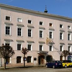
Stadtplatz 42
2.3 km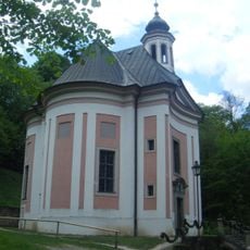
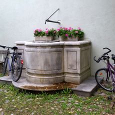
Mariä Brunn
1.8 km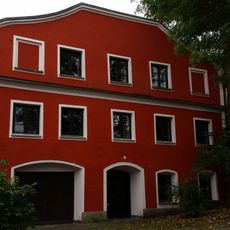
Mühlgebäude
2.2 km
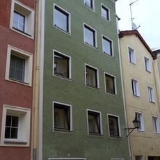
Stadtplatz 40
2.3 km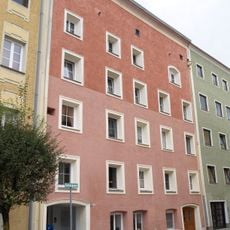
Stadtplatz 44
2.3 km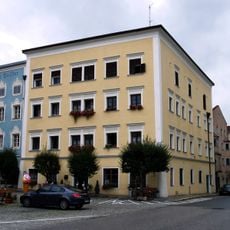
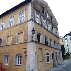
Stadtplatz 48
2.3 km
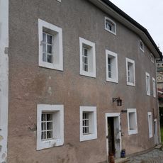
Stadtplatz 49
2.2 km
Burghauser Tor
2.2 km
Stadtplatz 56
2.3 km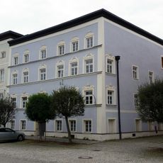
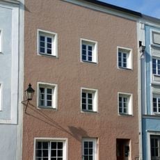
Stadtplatz 41
2.3 km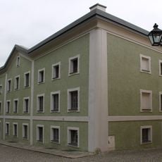
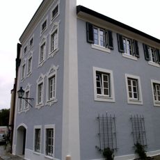
Wohnhaus
2.3 kmReviews
Visited this place? Tap the stars to rate it and share your experience / photos with the community! Try now! You can cancel it anytime.
Discover hidden gems everywhere you go!
From secret cafés to breathtaking viewpoints, skip the crowded tourist spots and find places that match your style. Our app makes it easy with voice search, smart filtering, route optimization, and insider tips from travelers worldwide. Download now for the complete mobile experience.

A unique approach to discovering new places❞
— Le Figaro
All the places worth exploring❞
— France Info
A tailor-made excursion in just a few clicks❞
— 20 Minutes