
Bundwerkstadel, reit; zweite Hälfte 19. Jahrhundert
Location: Pleiskirchen
Address: Reit 1
GPS coordinates: 48.31362,12.67556
Latest update: March 3, 2025 22:09
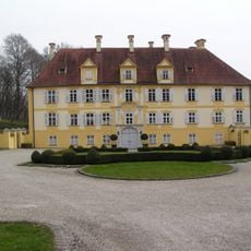
Schloss Frauenbühl
5.1 km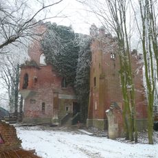
Unterholznerburg
5.4 km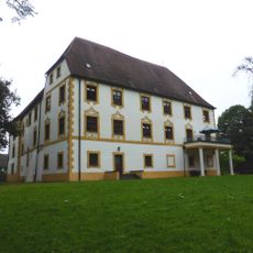
Schloss Klebing
6.3 km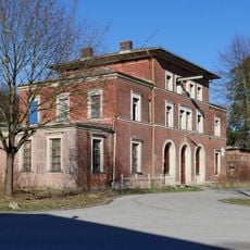
Neuötting station
6 km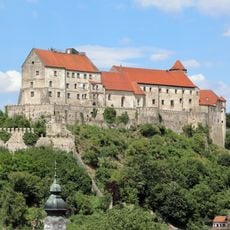
Schloss Burgfried
5.4 km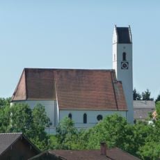
St. Peter und Paul
5.6 km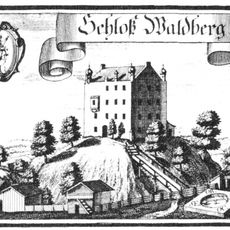
Schloss Waldberg
3.3 km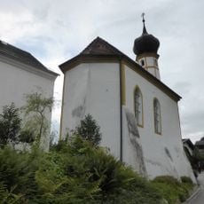
Schlosskapelle Burg
5.4 km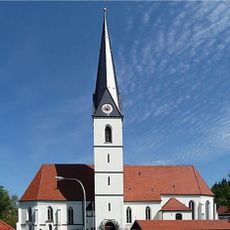
St. Martin
4.6 km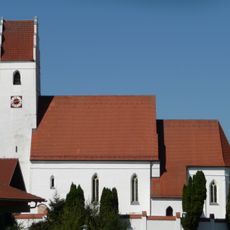
Expositurkirche St. Mariä Himmelfahrt
5.6 km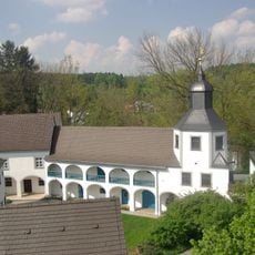
Pfarrhof (Winhöring)
5.6 km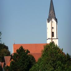
St. Nikolaus (Pleiskirchen)
6 km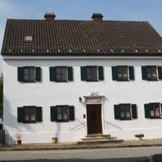
Pfarrhaus
2.8 km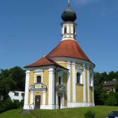
St. Anton von Padua
4.4 km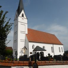
St. Georg
2.9 km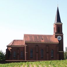
Katholische Pfarrkirche Maria Hilf
1.3 km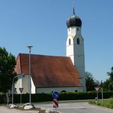
Maria Namen
5.9 km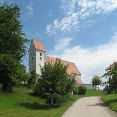
Katholische Filialkirche St. Georg
3.4 km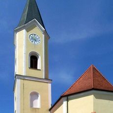
St. Johann Baptist
5.9 km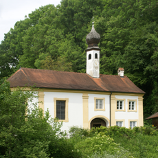
Engfurt 5
6.2 km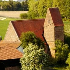
Katholische Filialkirche St. Veit
4.7 km
Bildstock Aresing 1
6.4 km
Ortskapelle Sankt Antonius der Eremit
4.8 km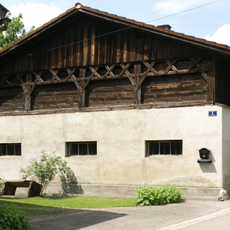
Aresing 1
6.5 km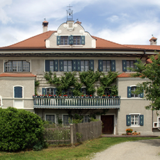
Engfurt 2
6.2 km
Aresing 6
6.5 km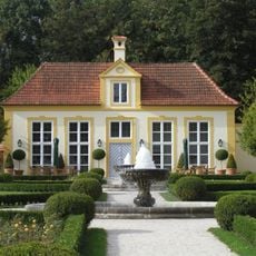
Orangeriegarten
5 km
Engfurt 1
6.2 kmReviews
Visited this place? Tap the stars to rate it and share your experience / photos with the community! Try now! You can cancel it anytime.
Discover hidden gems everywhere you go!
From secret cafés to breathtaking viewpoints, skip the crowded tourist spots and find places that match your style. Our app makes it easy with voice search, smart filtering, route optimization, and insider tips from travelers worldwide. Download now for the complete mobile experience.

A unique approach to discovering new places❞
— Le Figaro
All the places worth exploring❞
— France Info
A tailor-made excursion in just a few clicks❞
— 20 Minutes