
Getreidekasten, türstock bezeichnet mit dem Jahr 1796; im nördlichen Wirtschaftsteil
Location: Saaldorf-Surheim
Address: Untere Straße 30
GPS coordinates: 47.86733,12.93013
Latest update: May 2, 2025 13:19
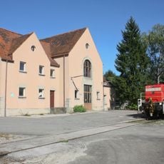
Freilassing Locomotive World
4.2 km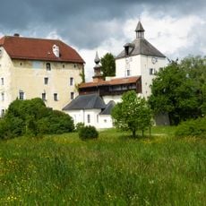
Schloss Triebenbach
4.3 km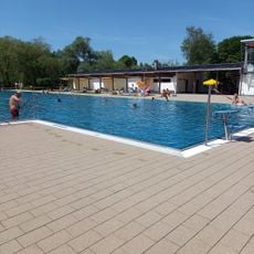
Freibad Freilassing
2.5 km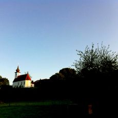
St. Georg
1.9 km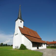
Katholische Filialkirche St. Andreas
4 km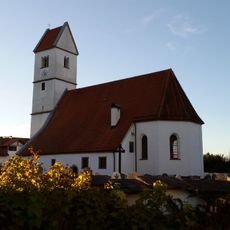
St. Stephan
2.4 km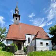
Katholische Filialkirche St. Nikolaus
2.1 km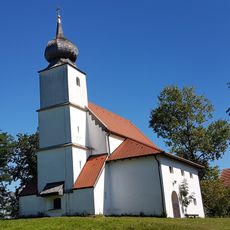
St. Johann Baptist
2.3 km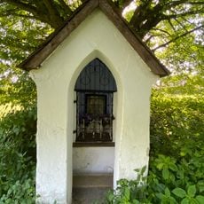
Kapellenbildstock
3 km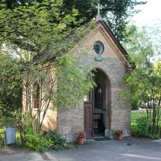
Hafnerkapelle
4.3 km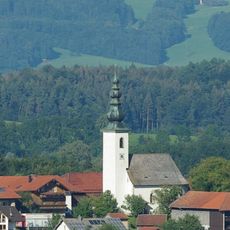
St. Nikolaus
4.2 km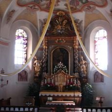
St. Marin
58 m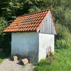
Kapelle Mühlwiesen
2 km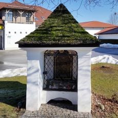
Kapelle
2.3 km
St. Jakobus major
3.9 km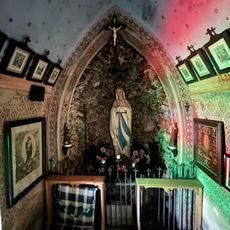
Hofkapelle
3 km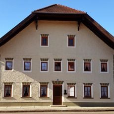
Bauernhaus
2.3 km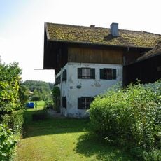
Bauernhaus
4.3 km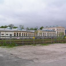
Bahnbetriebswerk – heute Museum Lokwelt Freilassing
4.3 km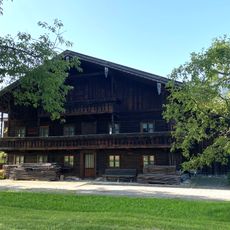
Bauernhaus
3.3 km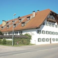
Gasthof Moosleitner
3.2 km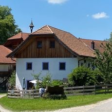
Ehemaliges Zuhaus der Mühle
1.9 km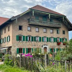
Wohnteil des ehemaligen Bauernhauses
2.1 km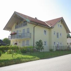
Wohnhaus
4.3 km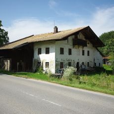
Bauernhaus
4.2 km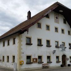
Gasthof
3.9 km
Untereichet 6
2.8 km
Untereichet 12
2.8 kmReviews
Visited this place? Tap the stars to rate it and share your experience / photos with the community! Try now! You can cancel it anytime.
Discover hidden gems everywhere you go!
From secret cafés to breathtaking viewpoints, skip the crowded tourist spots and find places that match your style. Our app makes it easy with voice search, smart filtering, route optimization, and insider tips from travelers worldwide. Download now for the complete mobile experience.

A unique approach to discovering new places❞
— Le Figaro
All the places worth exploring❞
— France Info
A tailor-made excursion in just a few clicks❞
— 20 Minutes