
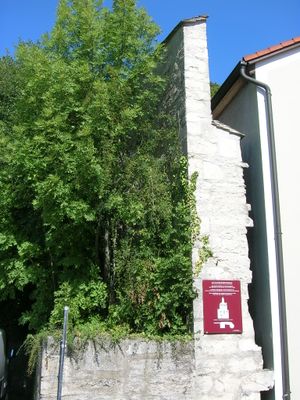
Stadtmauer, zug der Stadtmauer, 15./16. Jahrhundert, von Westenstraße 82 ostwärts am Hang bis zum Walburgakloster, mit Rundturm von 1634; siehe auch Walburgiberg 6/8.Siehe unter #D-1-76-123-1
Location: Eichstätt
Address: Westenstraße 82
GPS coordinates: 48.89783,11.18078
Latest update: April 16, 2025 00:36
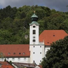
Benediktinerinnenabtei St. Walburg
292 m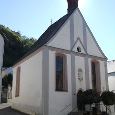
Mariahilf-Kapelle
97 m
Westenfriedhof
46 m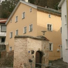
Kapellbuck 4
126 m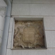
Wappentafel
83 m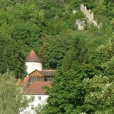
Fortified tower
216 m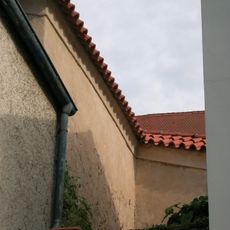
Stadtmauer
213 m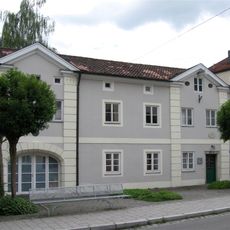
Westenstraße 83
55 m
Westenstraße 26
313 m
Benefiziatenhaus
109 m
Walburgiberg 5 (Eichstätt)
324 m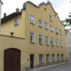
Ehemaliges Gasthaus
313 m
Ulrichsteig 1 (Eichstätt)
94 m
Ehemaliger Stadel
155 m
Westenstraße 30
292 m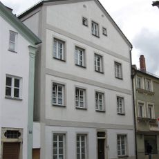
Westenstraße 28
301 m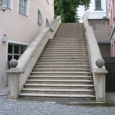
Walburgistiege
320 m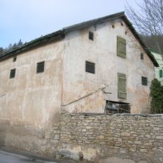
Westenstraße 94
96 m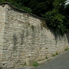
Stützmauer Kapellbuck
121 m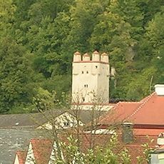
Scharwachturm
313 m
Bürgerhaus
341 m
Batterieturm
27 m
Jurahaus
273 m
Westenstraße 37
299 m
Kapellbuck 7
139 m
Walburgiberg 7
313 m
Wohnhaus
288 m
Bastion
30 mReviews
Visited this place? Tap the stars to rate it and share your experience / photos with the community! Try now! You can cancel it anytime.
Discover hidden gems everywhere you go!
From secret cafés to breathtaking viewpoints, skip the crowded tourist spots and find places that match your style. Our app makes it easy with voice search, smart filtering, route optimization, and insider tips from travelers worldwide. Download now for the complete mobile experience.

A unique approach to discovering new places❞
— Le Figaro
All the places worth exploring❞
— France Info
A tailor-made excursion in just a few clicks❞
— 20 Minutes