
Boundary marker, bezeichnet mit dem Jahr 1615, 2003 erneuert; an der Grenze zum Staatswald
Location: Kipfenberg
Address: Ölbuckel 85110 85110
GPS coordinates: 48.90145,11.43394
Latest update: April 25, 2025 18:06
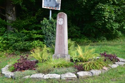
Cultural heritage D-1-7134-0095 in Kipfenberg
4.6 km
Mariä Heimsuchung (Appertshofen)
4.1 km
Turmhügel Rothenberg
4.4 km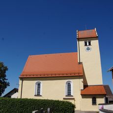
St. Martin Church
215 m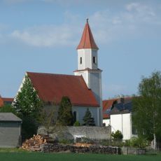
St. Laurentius (Schelldorf, Kipfenberg)
2.2 km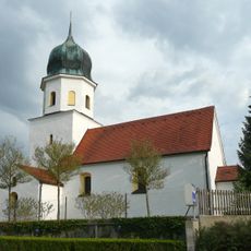
St. Andreas (Biberg, Kipfenberg)
1.3 km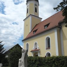
Katholische Pfarrkirche, St. Laurentius (Denkendorf)
3.4 km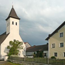
St. Clemens
1.6 km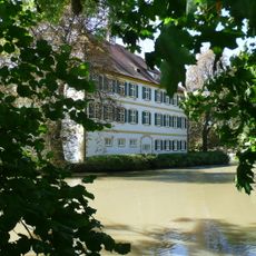
Schloss Schönbrunn
3.7 km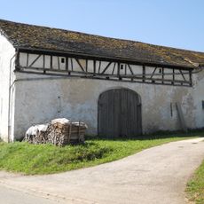
Scheune
1.6 km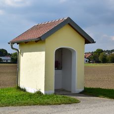
Kapellenbildstock Herz Jesu
2 km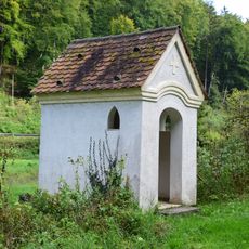
Wegkapelle Lourdesgrotte
4.3 km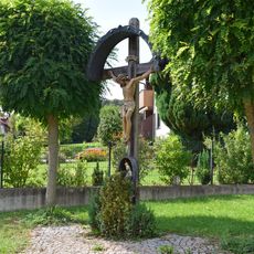
Wegkreuz
1.6 km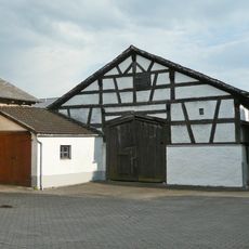
Dorfstraße 20
1.4 km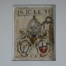
Wappenstein
2.2 km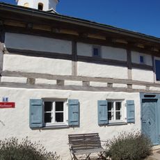
Kirchplatz 1
1.3 km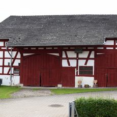
Half-timbered barn
3.4 km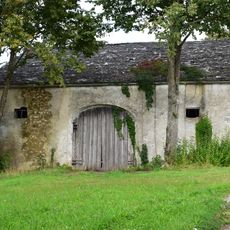
Former tithe barn
3.5 km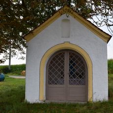
Wayside chapel
3.6 km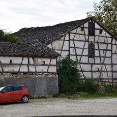
Half-timbered barn
3.3 km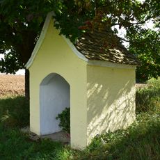
Kapellenbildstock
2.4 km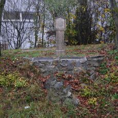
Bildstock
4.5 km
Stall Römerstraße 1 in Denkendorf (Oberbayern)
3.7 km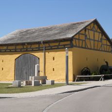
Dorfstraße 22
1.4 km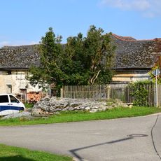
Stadel
274 m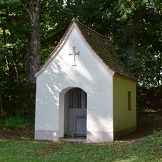
Wegkapelle Maria mit Kind
2.2 km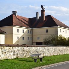
Schloss Römerstraße 1 in Denkendorf (Oberbayern)
3.6 km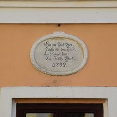
Inschriftentafel
3.6 kmReviews
Visited this place? Tap the stars to rate it and share your experience / photos with the community! Try now! You can cancel it anytime.
Discover hidden gems everywhere you go!
From secret cafés to breathtaking viewpoints, skip the crowded tourist spots and find places that match your style. Our app makes it easy with voice search, smart filtering, route optimization, and insider tips from travelers worldwide. Download now for the complete mobile experience.

A unique approach to discovering new places❞
— Le Figaro
All the places worth exploring❞
— France Info
A tailor-made excursion in just a few clicks❞
— 20 Minutes