
Wayside chapel, building in Hirnstetten, Upper Bavaria, Germany
Location: Kipfenberg
Address: Kohlschlag
GPS coordinates: 48.97755,11.28803
Latest update: April 3, 2025 12:31

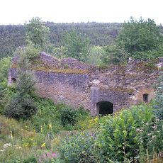
Brunneck Castle
1.4 km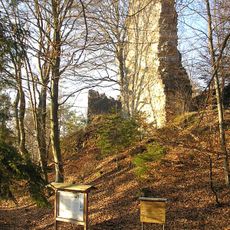
Burg Rundeck
2.3 km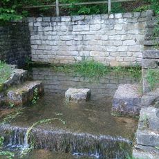
Blaubrunnen
1.3 km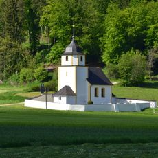
St. Martin
1.6 km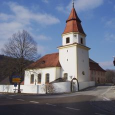
St. Nikolaus
1.3 km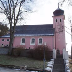
Mariä Himmelfahrt
1.9 km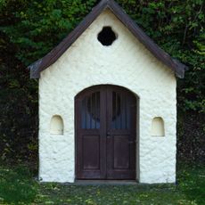
Wegkapelle
2.7 km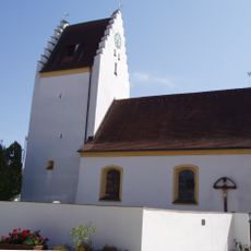
St. Leonhard
845 m
Stadel
1.5 km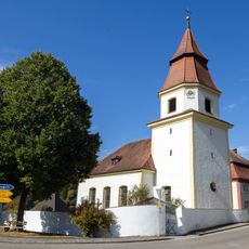
Cultural heritage D-1-7033-0091 in Titting
1.3 km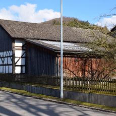
Haus 30 mit Scheune
1.7 km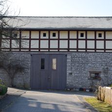
Scheune Erlingshofen 9; Erlingshofen 9 a in Kinding
1.8 km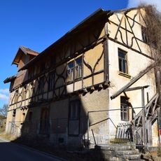
Lager Dr.-Kurz-Platz 4 in Titting
1.4 km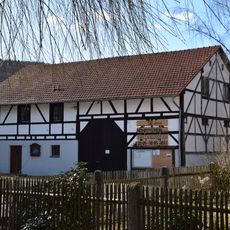
Scheune
1.7 km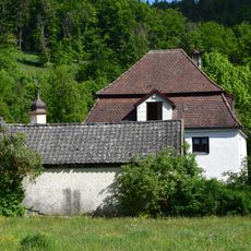
Wohnhaus
2.3 km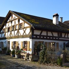
Bauernhaus mit Scheune, Haus 9
1.8 km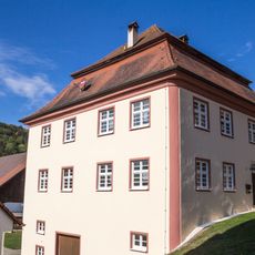
Mühle Dr.-Kurz-Platz 5
1.4 km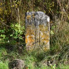
Cross stone
1.9 km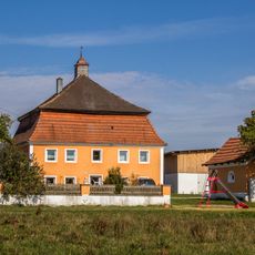
Gutshof Maierfeld
2.6 km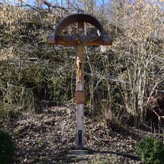
Wayside cross
1.3 km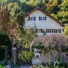
Bauernhaus Am Blaubrunnen 3
1.4 km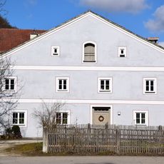
Bauernhaus, Haus 16
1.8 km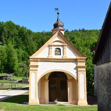
Marienkapelle
2.3 km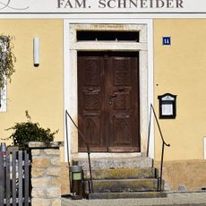
Gasthaus, Haus 14
1.8 km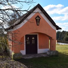
Farm chapel
2.6 km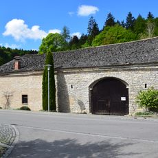
Wohnstallhaus
1.5 km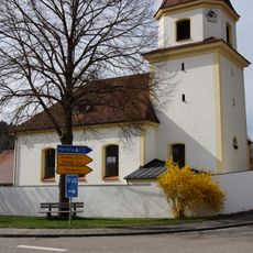
Friedhofsmauer Dr.-Kurz-Platz 1; Dr.-Kurz-Platz 3 in Titting
1.3 km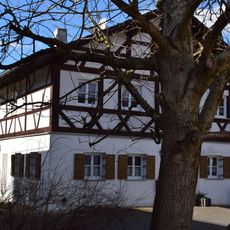
Bauernhaus, Haus 6
1.7 kmReviews
Visited this place? Tap the stars to rate it and share your experience / photos with the community! Try now! You can cancel it anytime.
Discover hidden gems everywhere you go!
From secret cafés to breathtaking viewpoints, skip the crowded tourist spots and find places that match your style. Our app makes it easy with voice search, smart filtering, route optimization, and insider tips from travelers worldwide. Download now for the complete mobile experience.

A unique approach to discovering new places❞
— Le Figaro
All the places worth exploring❞
— France Info
A tailor-made excursion in just a few clicks❞
— 20 Minutes