
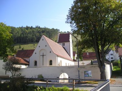
St. Ottmar, building in Kinding, Upper Bavaria, Germany
Location: Kinding
Address: Hauptstraße 37
GPS coordinates: 48.99139,11.36497
Latest update: March 7, 2025 22:41
Burg Rumburg
690 m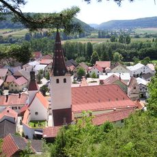
Pfarrkirche Mariä Geburt
1.7 km
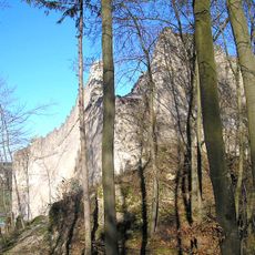
Schellenberg
555 m
Ringwall Schellenburg
409 m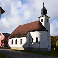
Holy Family chapel
1.6 km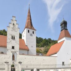
Kirchhofbefestigung An der Wehrkirche 6 in Kinding
1.7 km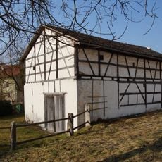
Scheune Hauptstraße 24 in Kinding
35 m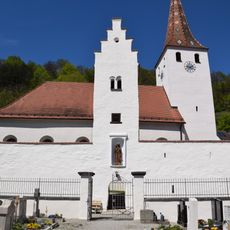
Wachturm An der Wehrkirche 6 in Kinding
1.7 km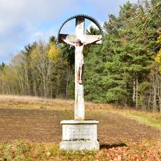
Wayside cross
1.3 km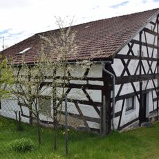
Stadel 19. Jh.
38 m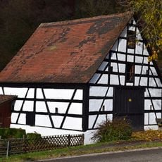
Barn
1.4 km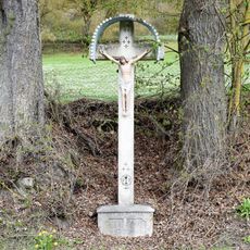
Flurkreuz um 1920
311 m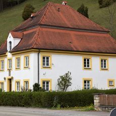
Chapel house
68 m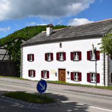
Bauernhof 1632+1744
40 m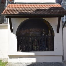
Ölbergkapelle An der Wehrkirche 6 in Kinding
1.7 km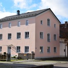
Ehemaliger Bauernhof
1.6 km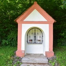
Marienbildstock
818 m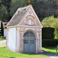
Wegkapelle
456 m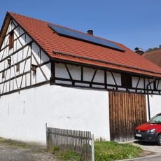
Stadel Rumburgstraße
279 m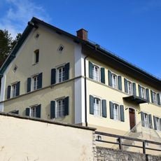
Clergy house
1.6 km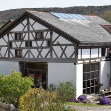
Barn
1.6 km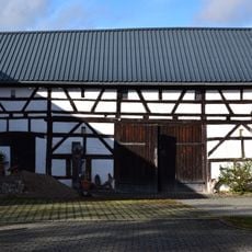
Barn
1.6 km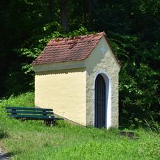
Wegkapelle Hl. Familie
1.6 km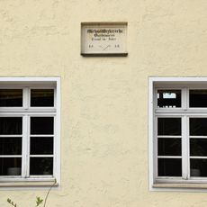
Inschrifttafeln
105 m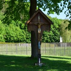
Flurkreuz
731 m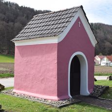
Wayside chapel
275 m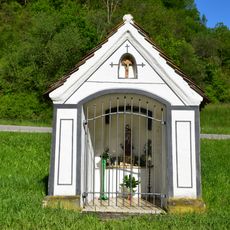
Barbarakapelle
910 m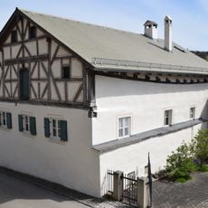
Farm house
1.6 kmReviews
Visited this place? Tap the stars to rate it and share your experience / photos with the community! Try now! You can cancel it anytime.
Discover hidden gems everywhere you go!
From secret cafés to breathtaking viewpoints, skip the crowded tourist spots and find places that match your style. Our app makes it easy with voice search, smart filtering, route optimization, and insider tips from travelers worldwide. Download now for the complete mobile experience.

A unique approach to discovering new places❞
— Le Figaro
All the places worth exploring❞
— France Info
A tailor-made excursion in just a few clicks❞
— 20 Minutes