
Stadel Hardtstraße 7, fachwerkbau mit Kalkplattendach, traufseitig erschlossen, Ende 18./Anfang 19. Jahrhundert, Verbretterung an der Ostseite vermutlich aus jüngerer Zeit
Location: Kinding
Address: Hardtstraße 7
GPS coordinates: 49.01572,11.41095
Latest update: March 31, 2025 22:15

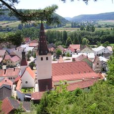
Pfarrkirche Mariä Geburt
2.7 km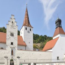
Kirchhofbefestigung An der Wehrkirche 6 in Kinding
2.7 km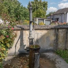
Market fountain
2.6 km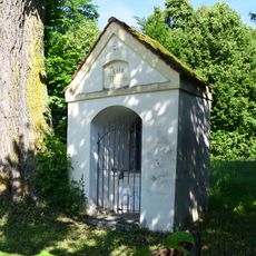
Wegkapelle
468 m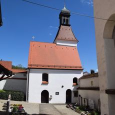
Beinhaus An der Wehrkirche 6 in Kinding
2.6 km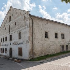
Alte Post
2.6 km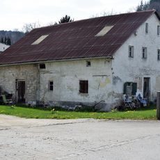
Bauernhaus
2.7 km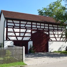
Scheune Hardtstraße 5 in Kinding
39 m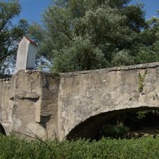
Alte Altmühlbrücke
2.5 km
Stallstadel
2.4 km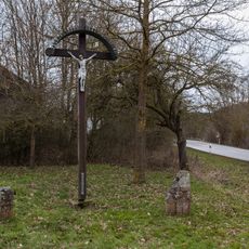
Kreuzgruppe südlich der alten Schwarzachbrücke
2.6 km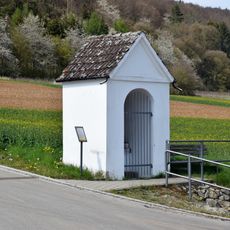
Wegkapelle
2.6 km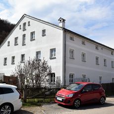
Badanhausen Fischerstraße
2.5 km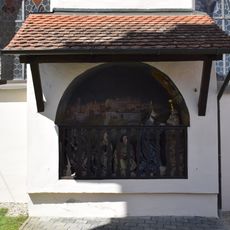
Ölbergkapelle An der Wehrkirche 6 in Kinding
2.7 km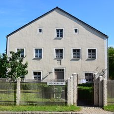
Pfarrhof
61 m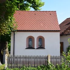
Bennokapelle
45 m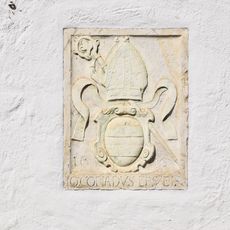
Wappentafel
186 m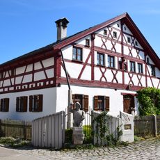
Kirchstraße 5
173 m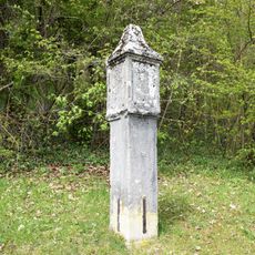
Pestsäule
2.4 km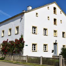
Forsthaus
433 m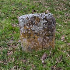
Östlicher Kreuzstein bei Kinding
2.6 km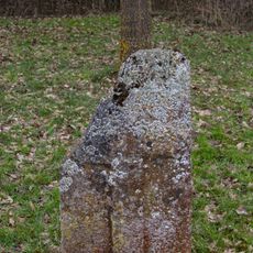
Westlicher Kreuzstein bei Kinding
2.6 km
Himmelsköniginkapelle
161 m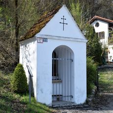
Wegkapelle
2.4 km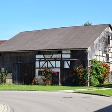
Stadel Seestraße 10
268 m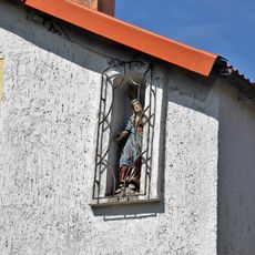
Nischenfigur
2.5 km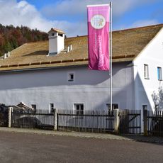
Former farmhouse
2.6 km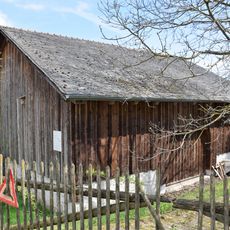
Stallstadel
2.4 kmReviews
Visited this place? Tap the stars to rate it and share your experience / photos with the community! Try now! You can cancel it anytime.
Discover hidden gems everywhere you go!
From secret cafés to breathtaking viewpoints, skip the crowded tourist spots and find places that match your style. Our app makes it easy with voice search, smart filtering, route optimization, and insider tips from travelers worldwide. Download now for the complete mobile experience.

A unique approach to discovering new places❞
— Le Figaro
All the places worth exploring❞
— France Info
A tailor-made excursion in just a few clicks❞
— 20 Minutes