
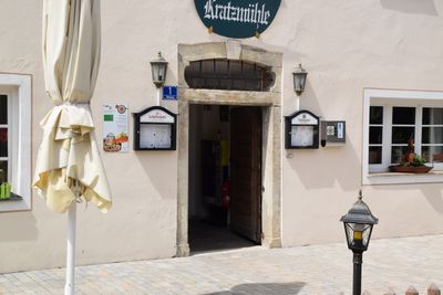
Portal and inn's sign, limestone, designated 1736; inn's sign, probably 19th century
Location: Kinding
Address: Mühlweg 1
GPS coordinates: 49.00395,11.45196
Latest update: March 12, 2025 18:52
Burgstall Saufelsen
2 km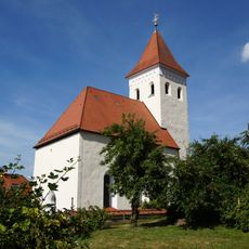
St. Nikolaus (Unteremmendorf)
2 km
St. Margaret (ensemble)
1.2 km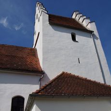
St. Peter und Paul
574 m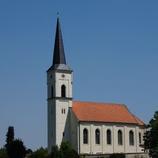
Mariä Opferung
1.6 km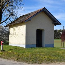
Wayside Chapel
866 m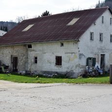
Bauernhaus
1.5 km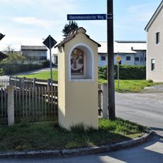
Wayside shrine
1.3 km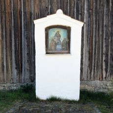
Schmerzensmutter-Bildstock
1.9 km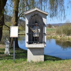
Brückenfigur Hl. Johann Nepomuk
1.8 km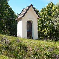
Kapellenbildstock
1.6 km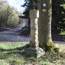
Wayside shrine
1.5 km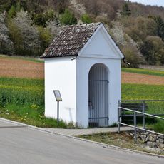
Wegkapelle
1.7 km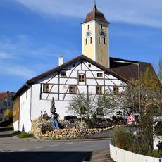
Former forge
1.2 km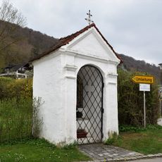
Wegkapelle
96 m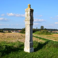
Pillar shrine
1.8 km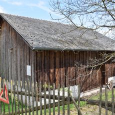
Stallstadel
1.5 km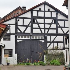
Fachwerkstadel
2 km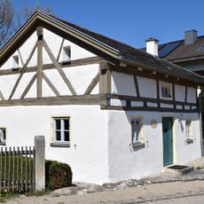
Hirtenhaus
1.9 km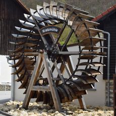
Mühlrad
56 m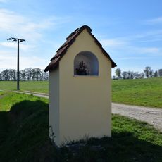
Wayside shrine
1.1 km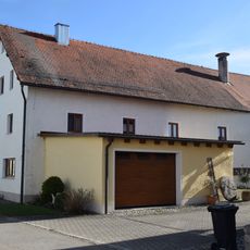
Farmhouse
1.1 km
Badanhausen Fischerstraße
1.5 km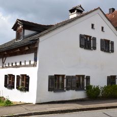
Former smallholder's house
1.4 km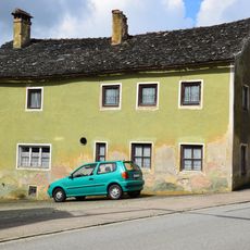
The Bear Inn
1.3 km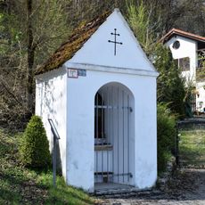
Wegkapelle
1.5 km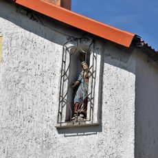
Nischenfigur
1.6 km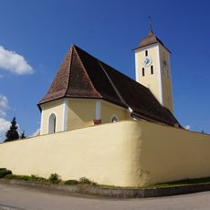
Churchyard wall
1.2 kmReviews
Visited this place? Tap the stars to rate it and share your experience / photos with the community! Try now! You can cancel it anytime.
Discover hidden gems everywhere you go!
From secret cafés to breathtaking viewpoints, skip the crowded tourist spots and find places that match your style. Our app makes it easy with voice search, smart filtering, route optimization, and insider tips from travelers worldwide. Download now for the complete mobile experience.

A unique approach to discovering new places❞
— Le Figaro
All the places worth exploring❞
— France Info
A tailor-made excursion in just a few clicks❞
— 20 Minutes