
Stadel, ehemaliger Stallstadel, Ostflügel des Vierseithofes, zweigeschossig mit Blockbau-Kniestock, um 1850; südlich ehemaliger Stallstadel, zweigeschossiger Satteldachbau mit Zierputz und Resten von Farbfassungen, zwei Inschrifttafeln, bezeichnet mit dem
Location: Lohkirchen
Address: Deinbach 1
GPS coordinates: 48.30529,12.45949
Latest update: March 21, 2025 07:49
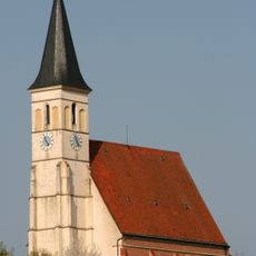
St. Laurentius, Altmühldorf
6.8 km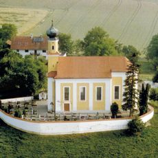
St. Peter und Paul (Palmberg)
4.9 km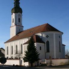
St. Michael (Mettenheim)
4.4 km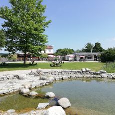
Naturbad "Grüne Lagune"
5.9 km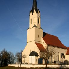
St. Rupert
2 km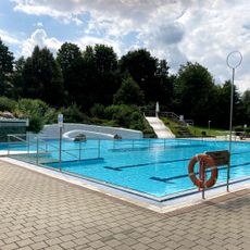
Städtisches Freibad
6.9 km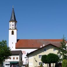
Sankt Margaretha
6.3 km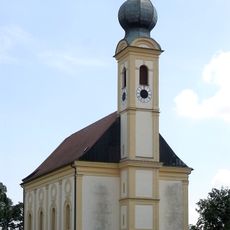
Sankt Salvator
6.9 km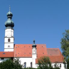
St. Bartholomäus
5.4 km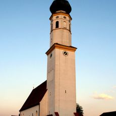
Katholische Pfarrkirche Mariae Himmelfahrt
6.3 km
Katholische Pfarrkirche Sankt Laurentius
6.8 km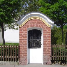
Wegkapelle
6.2 km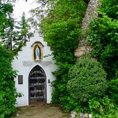
Kapellenneubau von 1983
6 km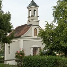
Kronwidlkapelle
7 km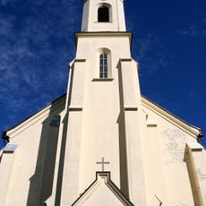
Sankt Josef
4.2 km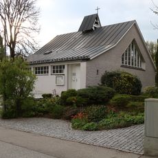
Evang.-Luth. Friedenskirche
6.9 km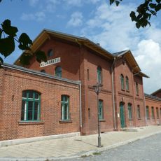
Station building at Neumarkt-St. Veit station
7 km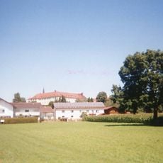
Ehemaliges Schloss Zangberg, seit 1862 Kloster St. Joseph der Salesianerinnen
4.2 km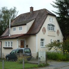
Wohnhaus
6.9 km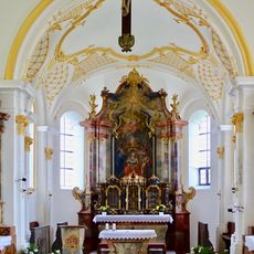
St. Pankratius
3 km
Wohnhaus
7 km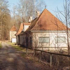
Elektrizitätswerk Ecksberg 4 in Mühldorf am Inn
7 km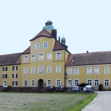
Stiftung Ecksberg
6.9 km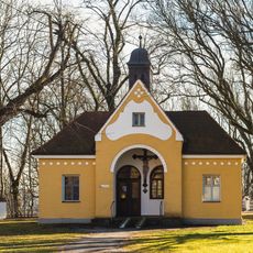
Aussegnungshalle Ecksberg 1 in Mühldorf am Inn
7 km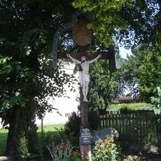
Wegkreuz
6.9 km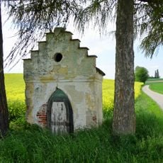
Wegkapelle
4.4 km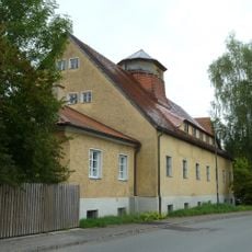
Ehemaliges Baywa-Lagerhaus
7 km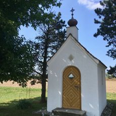
Kapelle Lochheim
4.5 kmReviews
Visited this place? Tap the stars to rate it and share your experience / photos with the community! Try now! You can cancel it anytime.
Discover hidden gems everywhere you go!
From secret cafés to breathtaking viewpoints, skip the crowded tourist spots and find places that match your style. Our app makes it easy with voice search, smart filtering, route optimization, and insider tips from travelers worldwide. Download now for the complete mobile experience.

A unique approach to discovering new places❞
— Le Figaro
All the places worth exploring❞
— France Info
A tailor-made excursion in just a few clicks❞
— 20 Minutes