
Stadel, Bundwerkstadel, mit gemauerten Giebelseiten, drittes Viertel 19. Jahrhundert
Location: Lohkirchen
Address: Hinkerding 2
GPS coordinates: 48.33064,12.46025
Latest update: July 14, 2025 07:30
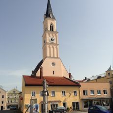
St. Johann Baptist
4.9 km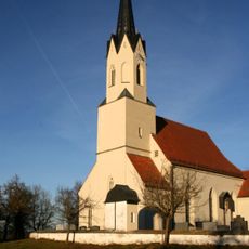
St. Rupert
3.9 km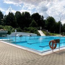
Städtisches Freibad
4.7 km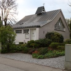
Evang.-Luth. Friedenskirche
4.5 km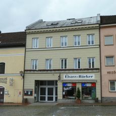
Wohn- und Geschäftshaus, sogenanntes Seiler Maier-Haus
4.9 km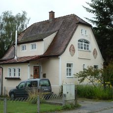
Wohnhaus
4.6 km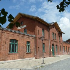
Station building at Neumarkt-St. Veit station
4.7 km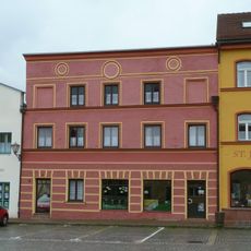
Metzgerei und Wohnhaus
4.9 km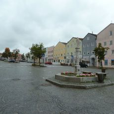
Stadtplatz
4.9 km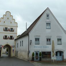
Unteres Tor
4.9 km
Miets- und Lagerhaus
4.8 km
Ehemaliges Rathaus
4.9 km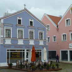
Wohn- und Geschäftshaus
4.8 km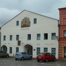
Ehemalige Brauerei Fruhmann
4.8 km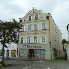
Wohn- und Geschäftshaus, sogenanntes Edelmann-Haus
4.9 km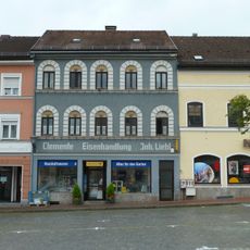
Eisenhandlung
4.9 km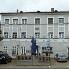
Gasthof zur Post
4.9 km
Wohnhaus
4.8 km
Ehemalige Bäckerei
4.9 km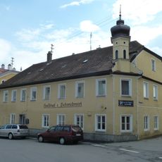
Gasthof zum Schmiedwirt
4.9 km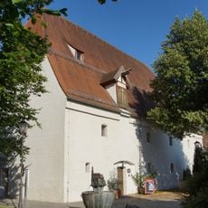
Ehemaliger herzoglicher Zehentkasten
4.8 km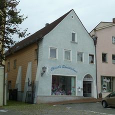
Wohn- und Geschäftshaus
4.9 km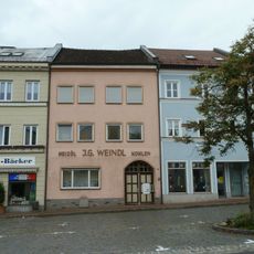
Wohnhaus
4.9 km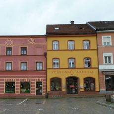
Apotheke, sogenannte St. Johannes-Apotheke
4.8 km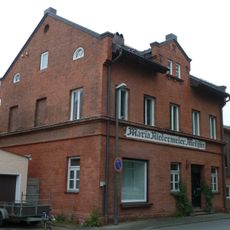
Wohn- und Geschäftshaus
4.8 km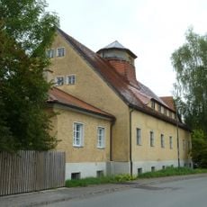
Ehemaliges Baywa-Lagerhaus
4.7 km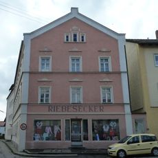
Wohn- und Geschäftshaus
4.9 km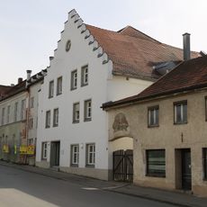
Brauereigasthof Genossenschaft
4.9 kmReviews
Visited this place? Tap the stars to rate it and share your experience / photos with the community! Try now! You can cancel it anytime.
Discover hidden gems everywhere you go!
From secret cafés to breathtaking viewpoints, skip the crowded tourist spots and find places that match your style. Our app makes it easy with voice search, smart filtering, route optimization, and insider tips from travelers worldwide. Download now for the complete mobile experience.

A unique approach to discovering new places❞
— Le Figaro
All the places worth exploring❞
— France Info
A tailor-made excursion in just a few clicks❞
— 20 Minutes