
Grünthal 9, katholisches Pfarrhaus, zweigeschossiger Satteldachbau mit Kniestock, Hochlaube und Putzgliederung, bezeichnet mit dem Jahr 1879
Location: Unterreit
Address: Grünthal 9
GPS coordinates: 48.14122,12.39394
Latest update: April 23, 2025 23:41
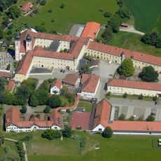
Kloster Au am Inn
5.7 km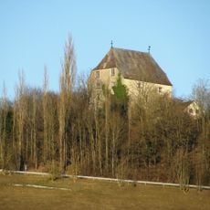
Burg Megling
6.4 km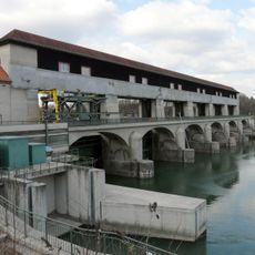
Jettenbacher weir
4.2 km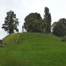
Burgstall Kraiburg
5.1 km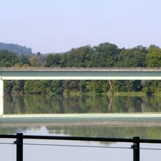
Innbrücke Jettenbach
4.5 km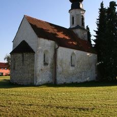
St. Aegidius
3.4 km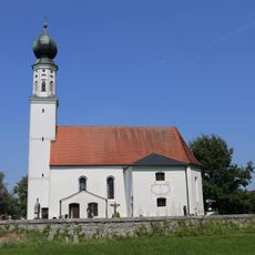
St. Maximilian
4.8 km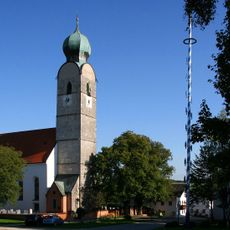
St. Andreas
87 m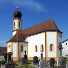
Katholische Pfarrkirche St. Martin
4.4 km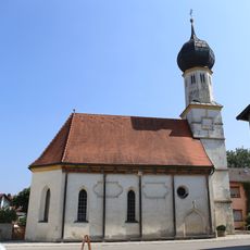
St. Nikolaus und Sebastian
5.4 km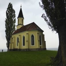
Gelöbniskapelle
5.1 km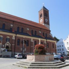
St. Bartholomäus
5.2 km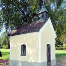
Wegkapelle
6.7 km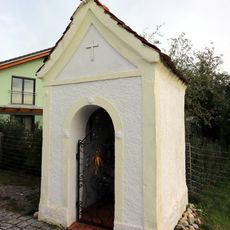
Wegkapelle Krautgartenweg
4.7 km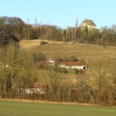
LSG Am Stampflberg im Gebiet des Marktes Gars am Inn
6.2 km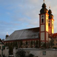
Sankt Maria (Au am Inn)
5.7 km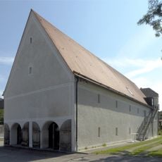
Ehemaliger Zehentstadel des Klosters
5.7 km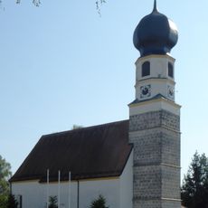
Saint Erasmus Church
5.8 km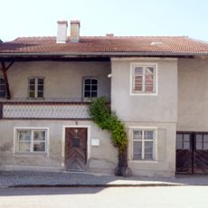
Ehemaliges Klosterrichterhaus
5.7 km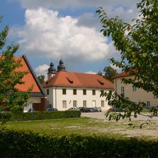
Kloster der Franziskanerinnen
5.7 km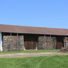
Stadel Maximilian 2
4.9 km
St. Martin
4.1 km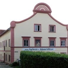
Stattliches Wohnhaus
5.3 km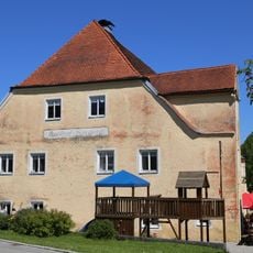
Ehemalige Klostertaverne
5.8 km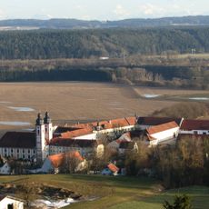
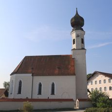
St. Ägidius (Unterreit)
5 km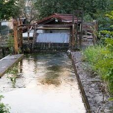
Mittermühlbach
5.2 km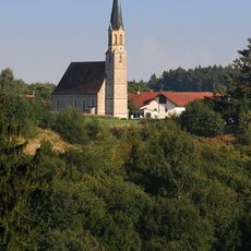
Mariä Himmelfahrt
4.4 kmReviews
Visited this place? Tap the stars to rate it and share your experience / photos with the community! Try now! You can cancel it anytime.
Discover hidden gems everywhere you go!
From secret cafés to breathtaking viewpoints, skip the crowded tourist spots and find places that match your style. Our app makes it easy with voice search, smart filtering, route optimization, and insider tips from travelers worldwide. Download now for the complete mobile experience.

A unique approach to discovering new places❞
— Le Figaro
All the places worth exploring❞
— France Info
A tailor-made excursion in just a few clicks❞
— 20 Minutes