
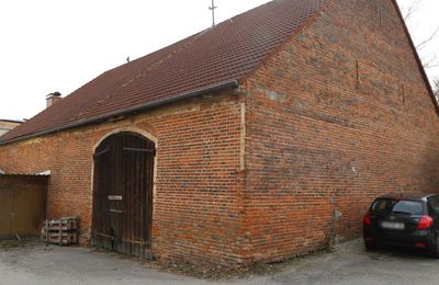
Stadel, backsteinbau, bezeichnet mit dem Jahr 1851
Location: Neumarkt-Sankt Veit
Address: Am Färbergangl
GPS coordinates: 48.36081,12.50981
Latest update: March 23, 2025 08:52
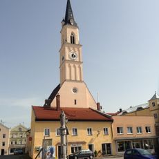
St. Johann Baptist
67 m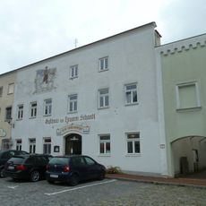
Gasthaus Zum Tragerwirt
150 m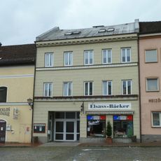
Wohn- und Geschäftshaus, sogenanntes Seiler Maier-Haus
130 m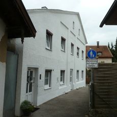
Wohnhaus
200 m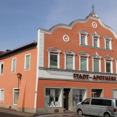
Apotheke, sogenannte Stadtapotheke
177 m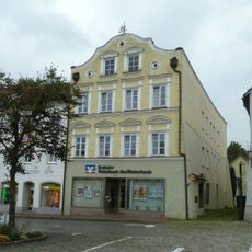
Wohn- und Geschäftshaus, sogenanntes Edelmann-Haus
144 m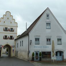
Unteres Tor
115 m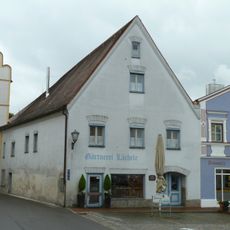
Ehemaliges Rathaus
116 m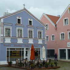
Wohn- und Geschäftshaus
125 m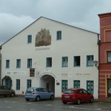
Ehemalige Brauerei Fruhmann
126 m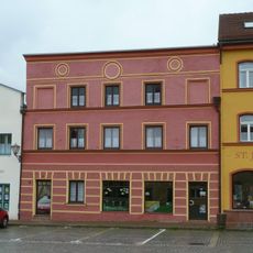
Metzgerei und Wohnhaus
120 m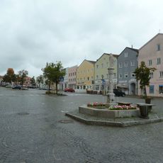
Stadtplatz
109 m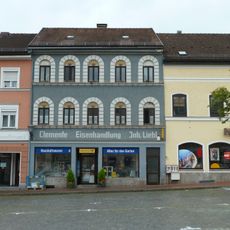
Eisenhandlung
128 m
Wohn- und Geschäftshaus
22 m
Gasthof zur Post
162 m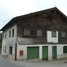
Ehemalige Schmiede
215 m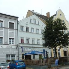
Ehemalige Bäckerei
172 m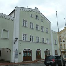
Ehemaliges Rathaus- und Bankgebäude
124 m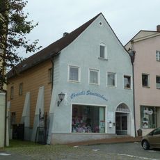
Wohn- und Geschäftshaus
150 m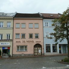
Wohnhaus
122 m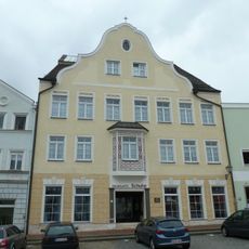
Ehemaliges Pfleggericht, dann Mädchenvolksschule, jetzt Wohn- und Geschäftshaus
183 m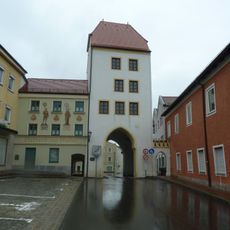
Oberes Tor (Neumarkt St. Veit)
198 m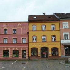
Apotheke, sogenannte St. Johannes-Apotheke
130 m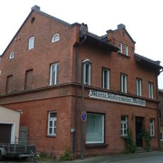
Wohn- und Geschäftshaus
182 m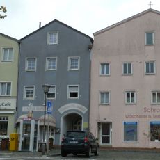
Wohnhaus
70 m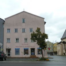
Wohn- und Geschäftshaus
68 m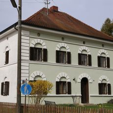
Wohnhaus
36 m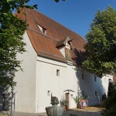
Ehemaliger herzoglicher Zehentkasten
181 mReviews
Visited this place? Tap the stars to rate it and share your experience / photos with the community! Try now! You can cancel it anytime.
Discover hidden gems everywhere you go!
From secret cafés to breathtaking viewpoints, skip the crowded tourist spots and find places that match your style. Our app makes it easy with voice search, smart filtering, route optimization, and insider tips from travelers worldwide. Download now for the complete mobile experience.

A unique approach to discovering new places❞
— Le Figaro
All the places worth exploring❞
— France Info
A tailor-made excursion in just a few clicks❞
— 20 Minutes