
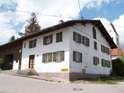
Ehemaliger Pfarrhof, flachdachhaus in Bauernhausform, mit verputztem Fachwerkgiebel und Andreaskreuz über dem Tennentor, 1793/94 errichtet
Location: Aitrang
Address: Haus Nr. 27
GPS coordinates: 47.84531,10.52024
Latest update: March 5, 2025 07:15
St. Alban
2.6 km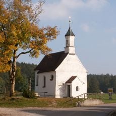
Rosinakapelle
2.6 km
Pfarrhaus
3.3 km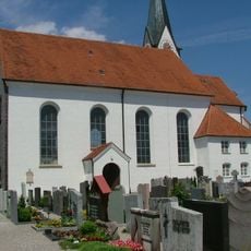
Sankt Ulrich (Aitrang)
3.3 km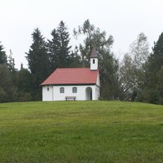
Riedkapelle
3.3 km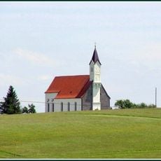
Katholische Wallfahrtskirche
2.5 km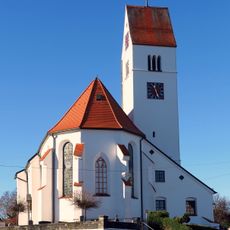
St. Ulrich
3.6 km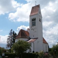
St. Johannes Baptist
36 m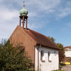
Kapelle Heilige Dreifaltigkeit
1.6 km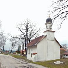
Katholische Kapelle Sankt Magnus
1.9 km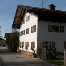
Bauernhaus
3.4 km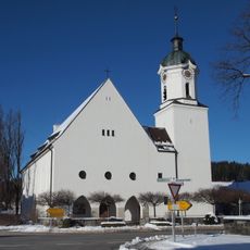
St. Joseph
3.4 km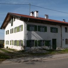
Bauernhaus
3.1 km
Bauernhaus
3.4 km
Bauernhaus
2.5 km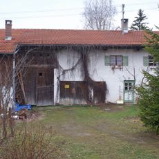
Bauernhaus
3.2 km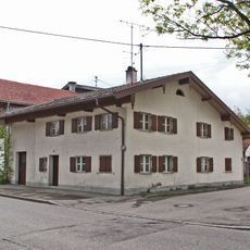
Bauernhaus
3.5 km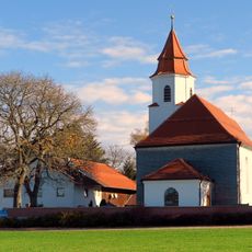
St. Bartholomew
2.6 km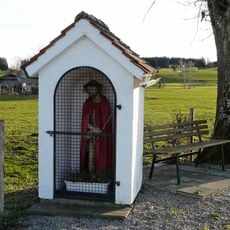
Bildstock
3.5 km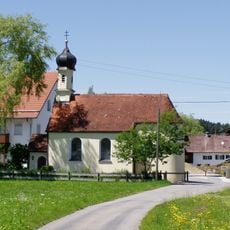
Hl. Drei Könige
1.3 km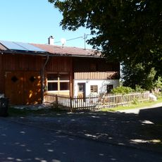
Kleinhaus
84 m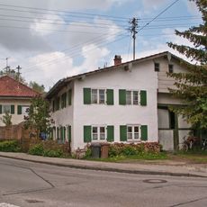
Bauernhaus
3.2 km
Hauptstraße 15
3.5 km
Gedenkstein
2.4 km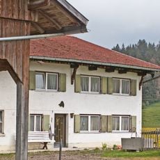
Bauernhaus
2.6 km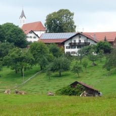
Bauernhaus
2.6 km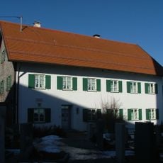
Pfarrhaus Ebersbach
3.6 km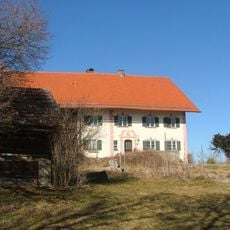
Mesnerhof von St. Alban
2.6 kmReviews
Visited this place? Tap the stars to rate it and share your experience / photos with the community! Try now! You can cancel it anytime.
Discover hidden gems everywhere you go!
From secret cafés to breathtaking viewpoints, skip the crowded tourist spots and find places that match your style. Our app makes it easy with voice search, smart filtering, route optimization, and insider tips from travelers worldwide. Download now for the complete mobile experience.

A unique approach to discovering new places❞
— Le Figaro
All the places worth exploring❞
— France Info
A tailor-made excursion in just a few clicks❞
— 20 Minutes