
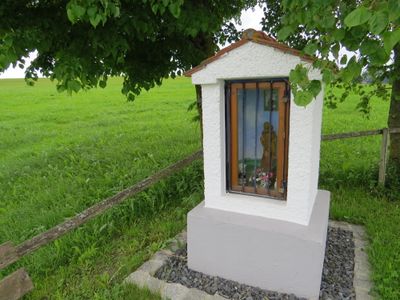
Heiligennische, 18. Jahrhundert; mit Ausstattung;
Location: Mauerstetten
Address: 500 m südwestlich vom Ort
GPS coordinates: 47.86408,10.66227
Latest update: October 17, 2025 10:40
Eisstadion Kaufbeuren
2.8 km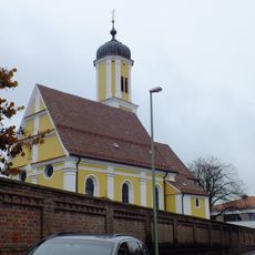
St. Vitus (Mauerstetten)
3.1 km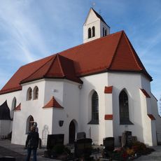
St. Thomas
1.5 km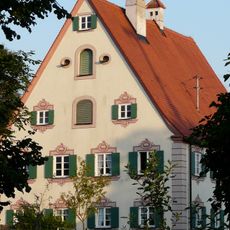
Pfarrhaus Frankenried
781 m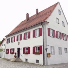
Pfarrhaus Mauerstetten
3.1 km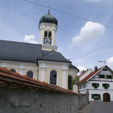
Pfarrkirche St. Andreas
863 m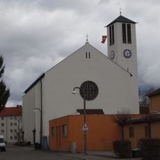
St. Ulrich
2.9 km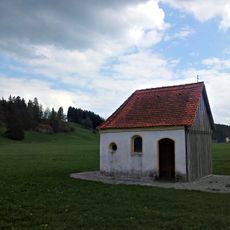
St. Marien
1.4 km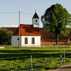
Kapelle St. Antonius von Padua
2.3 km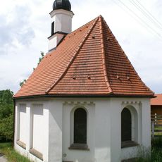
Kapelle Hl. Dreifaltigkeit
1.6 km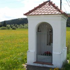
Feldkapelle
2.2 km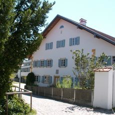
Bauernhaus
3.1 km
Friedhof Kaufbeuren
3.1 km
Schelmenhofstraße
2.6 km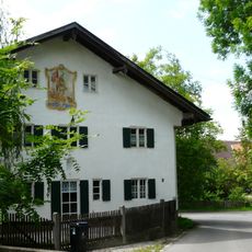
Bauernhaus
2.8 km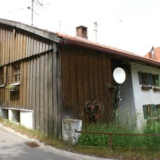
Bauernhaus
702 m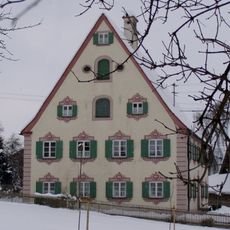
Pfarrhaus
781 m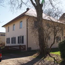
Ganghoferstraße 30
3 km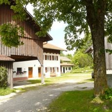
Bauernhaus
3.1 km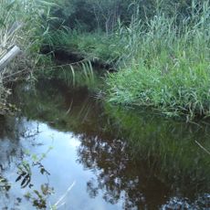
Gennachhauser Moor
2.9 km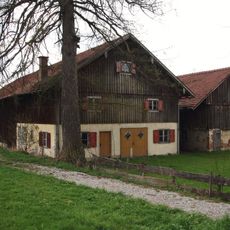
Stadel
1.5 km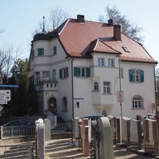
Bürgermeister-Haffner-Straße 1
3.1 km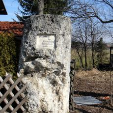
Friedsäule Füssener Straße
2.5 km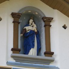
Hausfigur
2.2 km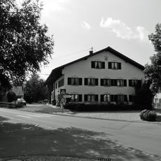
Bauernhaus Kirchplatz 6, Kirchplatz 6 a in Mauerstetten
3.1 km
Pfarrhaus,
3.1 km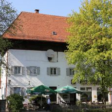
Ehemaliges Färberhaus
3.1 km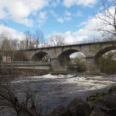
Eisenbahnbrücke über die Wertach
2.6 kmVisited this place? Tap the stars to rate it and share your experience / photos with the community! Try now! You can cancel it anytime.
Discover hidden gems everywhere you go!
From secret cafés to breathtaking viewpoints, skip the crowded tourist spots and find places that match your style. Our app makes it easy with voice search, smart filtering, route optimization, and insider tips from travelers worldwide. Download now for the complete mobile experience.

A unique approach to discovering new places❞
— Le Figaro
All the places worth exploring❞
— France Info
A tailor-made excursion in just a few clicks❞
— 20 Minutes