
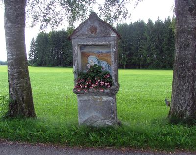
Bildstock, nische auf Sockel, Puttenkopf im Giebelfeld, 17. Jahrhundert
Location: Legau
Address: In Hub
GPS coordinates: 47.85829,10.15997
Latest update: March 3, 2025 21:41
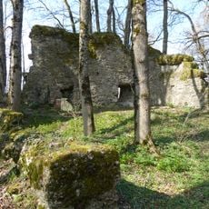
Castle Rothenstein
3.2 km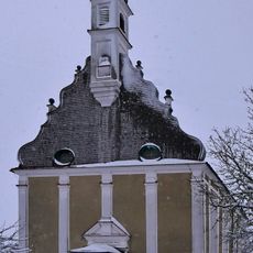
Wallfahrtskirche Lehenbühl
1.6 km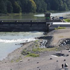
Illerstaustufe 6
2.1 km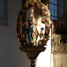
St. Gordian und Epimachus
2.2 km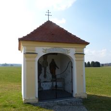
Wegkapelle zur Schmerzhaften Muttergottes
3 km
Rapunzel-Tower
2 km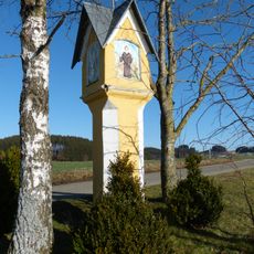
Bildstock
2.6 km
Wegkapelle
1.5 km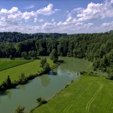
Schutz von Landschaftsteilen beiderseits der Iller in den Gemarkungen Legau, Maria Steinbach, Grönenbach und Kronburg
2.5 km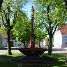
Brunnen
2.3 km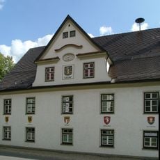
Rathaus Legau
2.3 km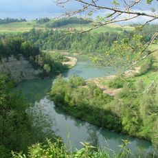
Illerdurchbruch zwischen Reicholzried und Lautrach
3.1 km
Ehemals Bauernhaus
2.6 km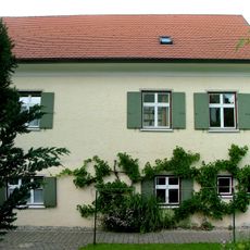
Anlageteil
2.2 km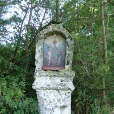
Bildstock
2.1 km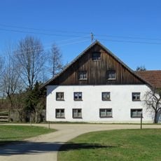
Bauernhaus
1.1 km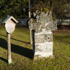
Sühnekreuz
2.2 km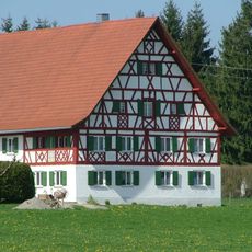
Bauernhaus
2.4 km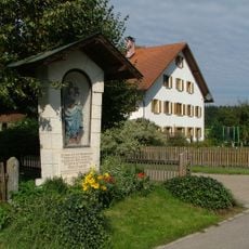
Marienfigur aus Lehenbühl
1.2 km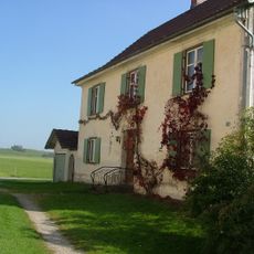
Benefiziatenhaus
1.6 km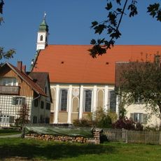
Ehemals Mesnerhaus
1.7 km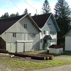
Mühle
2.9 km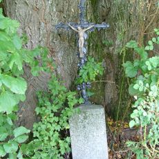
Wegkreuz
2.4 km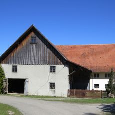
Bauernhaus
853 m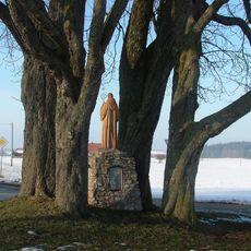
Magnusdenkmal
1.8 km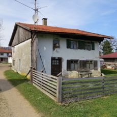
Ehemals Bauernhaus
1.8 km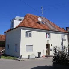
Wohnhaus
2.4 km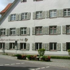
Gasthaus
2.3 kmVisited this place? Tap the stars to rate it and share your experience / photos with the community! Try now! You can cancel it anytime.
Discover hidden gems everywhere you go!
From secret cafés to breathtaking viewpoints, skip the crowded tourist spots and find places that match your style. Our app makes it easy with voice search, smart filtering, route optimization, and insider tips from travelers worldwide. Download now for the complete mobile experience.

A unique approach to discovering new places❞
— Le Figaro
All the places worth exploring❞
— France Info
A tailor-made excursion in just a few clicks❞
— 20 Minutes