
Ehemaliges Schulhaus, building in Arberg, Middle Franconia, Germany
Location: Arberg
Address: Marktplatz 6
GPS coordinates: 49.14323,10.61724
Latest update: March 12, 2025 09:45


Mariä Heimsuchung
3.5 km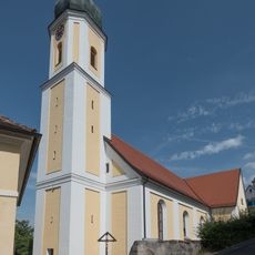
St. Blasius
162 m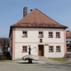
Rathaus (Arberg)
54 m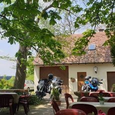
Gasthaus Grüner Baum
3.1 km
Katholische Pfarrkirche St. Jakob der Ältere
4.5 km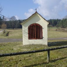
Wegkapelle
4.3 km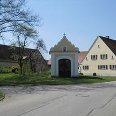
Katholische Kapelle
3.4 km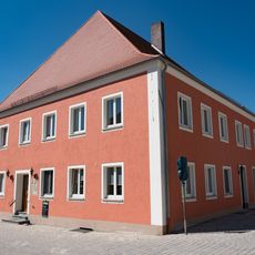
Altstadt 21
4.5 km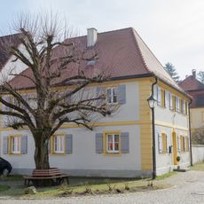
Ehemaliges eichstättisches Forstamt
44 m
Wohnhaus
4.5 km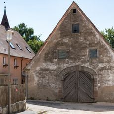
Scheune
4.5 km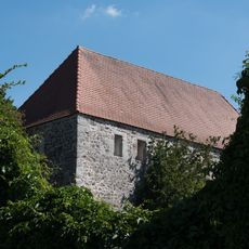
Untere Bastei
4.4 km
Altstadt 13
4.5 km
Altstadt 20
4.5 km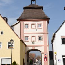
Torturm
30 m
Altstadt 15
4.5 km
Altstadt 17
4.5 km
Altstadt 18
4.5 km
Altstadt 19
4.5 km
Stadtmauer
4.5 km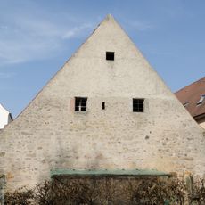
Teile der Stadtbefestigung
4.5 km
Altstadt 22 (Ornbau)
4.5 km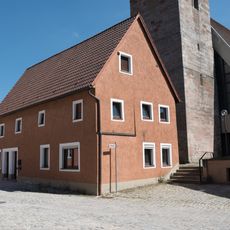
Altstadt 25
4.5 km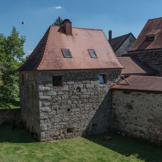
Obere Bastei
4.5 km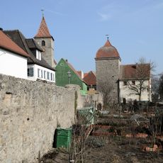
Südzug der Stadtmauer
4.5 km
Unteres Tor (Ornbau)
4.5 km
Rathaus
54 m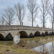
Altmühlbrücke Ornbau
4.4 kmVisited this place? Tap the stars to rate it and share your experience / photos with the community! Try now! You can cancel it anytime.
Discover hidden gems everywhere you go!
From secret cafés to breathtaking viewpoints, skip the crowded tourist spots and find places that match your style. Our app makes it easy with voice search, smart filtering, route optimization, and insider tips from travelers worldwide. Download now for the complete mobile experience.

A unique approach to discovering new places❞
— Le Figaro
All the places worth exploring❞
— France Info
A tailor-made excursion in just a few clicks❞
— 20 Minutes