
Arberg, market municipality of Germany
Location: Ansbach
Elevation above the sea: 468 m
Shares border with: Muhr am See, Gunzenhausen
Website: http://arberg.de
GPS coordinates: 49.13333,10.61667
Latest update: March 4, 2025 14:35

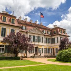
Schloss Dennenlohe
4.1 km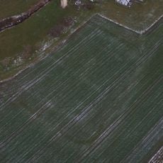
Castra of Dambach
4.4 km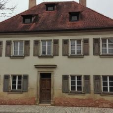
Allodium Cronheim
5.4 km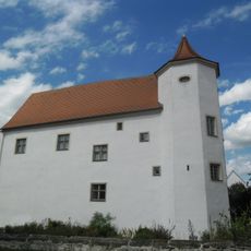
Schloss Cronheim
5.3 km
Mariä Heimsuchung
2.5 km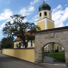
Mary Magdalene Church
5.4 km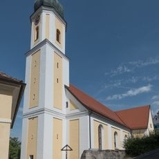
St. Blasius
942 m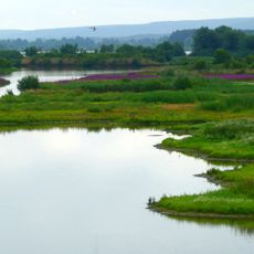
Altmühltal mit Brunst-Schwaigau und Altmühlsee
6 km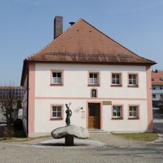
Rathaus (Arberg)
1.1 km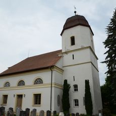
St. Cyriakus
4.6 km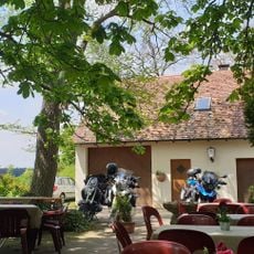
Gasthaus Grüner Baum
3.1 km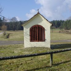
Wegkapelle
4.3 km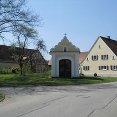
Katholische Kapelle
3.6 km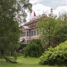
Cultural heritage D-5-6929-0070 in Unterschwaningen
4.1 km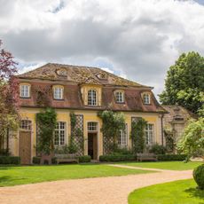
Pferdestall Dennenlohe 1 in Unterschwaningen
4.1 km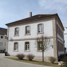
Ehemaliges Schulhaus
1.1 km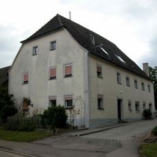
Ehemaliges Judenhaus
5.3 km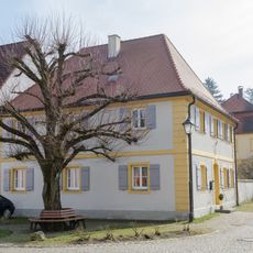
Ehemaliges eichstättisches Forstamt
1.1 km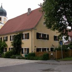
Bauernhaus
5.4 km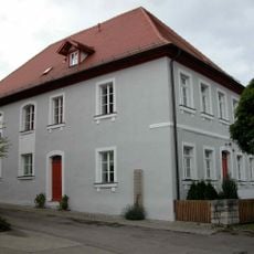
Ehemalige Judenschule und Synagoge
5.4 km
Schloss In Dennenlohe in Unterschwaningen
4.1 km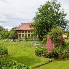
Orangerie in Unterschwaningen
4 km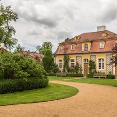
Schloss Dennenlohe 1 in Unterschwaningen
4.1 km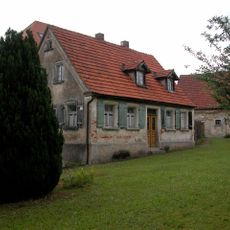
Wohnhaus
5.4 km
Rathaus
1.1 km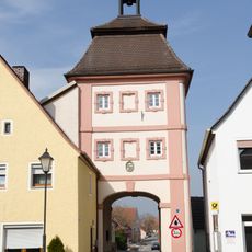
Torturm
1.1 km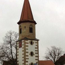
Gemeinde- und Spritzenhaus
5.5 km
Spritzen- und Gemeindehaus
5.1 kmReviews
Visited this place? Tap the stars to rate it and share your experience / photos with the community! Try now! You can cancel it anytime.
Discover hidden gems everywhere you go!
From secret cafés to breathtaking viewpoints, skip the crowded tourist spots and find places that match your style. Our app makes it easy with voice search, smart filtering, route optimization, and insider tips from travelers worldwide. Download now for the complete mobile experience.

A unique approach to discovering new places❞
— Le Figaro
All the places worth exploring❞
— France Info
A tailor-made excursion in just a few clicks❞
— 20 Minutes