
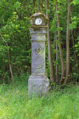
Bildstock, cultural heritage monument D-4-78-111-44 (0) in Altenkunstadt, Bavaria
Location: Altenkunstadt
Address: Silberleite, am früheren Fußweg nach Weismain, am Waldrand
GPS coordinates: 50.10593,11.20657
Latest update: March 3, 2025 20:47
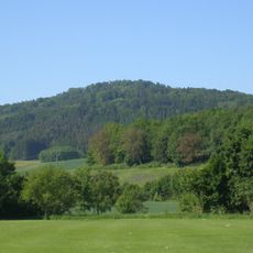
Kordigast
795 m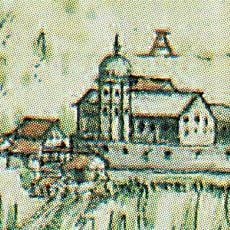
Schloss Giechkröttendorf
2.5 km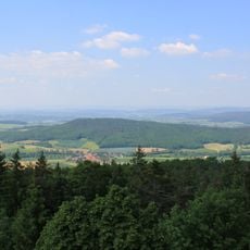
Külmitz
2.4 km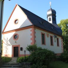
St. Georg
1.8 km
Burgstall Pfaffendorf
1.3 km
Schürfstelle am Kordigast SE von Burkheim
478 m
Ehemaliger Eisenerz-Bergbau am Kordigast SW von Altenkunstadt
1 km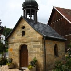
Ortskapelle
2.4 km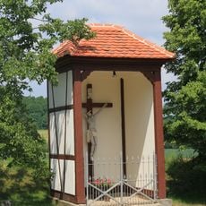
Wegkapelle
1.1 km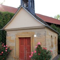
Kapelle
846 m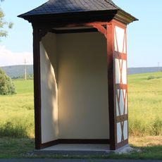
Wegkapelle
2 km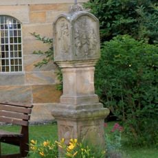
Bildstock
840 m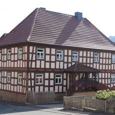
Wohnhaus
2.4 km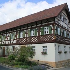
Wohnhaus
1.3 km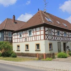
Cultural heritage D-4-78-111-40 in Altenkunstadt
993 m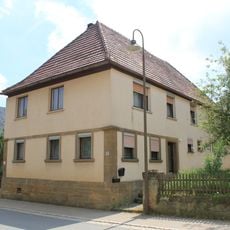
Wohnhaus
949 m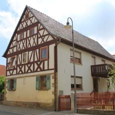
Cultural heritage D-4-78-111-38 in Altenkunstadt
941 m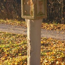
Bildstock
1.2 km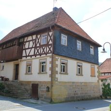
Cultural heritage D-4-78-111-37 in Altenkunstadt
876 m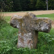
Gedenkkreuz
1.9 km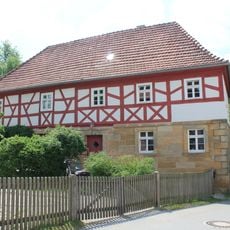
Cultural heritage D-4-78-111-36 in Altenkunstadt
859 m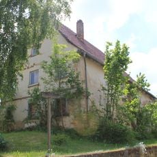
Cultural heritage D-4-78-111-102 in Altenkunstadt
840 m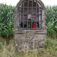
Bildstock
1.2 km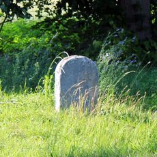
Grenzstein
1.9 km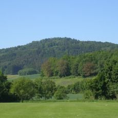
Felsgruppe am Großen Kordigast
971 m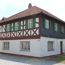
Cultural heritage D-4-78-111-35 in Altenkunstadt
899 m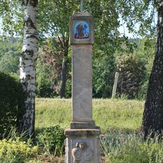
Bildstock
1.8 km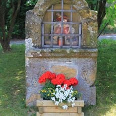
Bildstock
969 mVisited this place? Tap the stars to rate it and share your experience / photos with the community! Try now! You can cancel it anytime.
Discover hidden gems everywhere you go!
From secret cafés to breathtaking viewpoints, skip the crowded tourist spots and find places that match your style. Our app makes it easy with voice search, smart filtering, route optimization, and insider tips from travelers worldwide. Download now for the complete mobile experience.

A unique approach to discovering new places❞
— Le Figaro
All the places worth exploring❞
— France Info
A tailor-made excursion in just a few clicks❞
— 20 Minutes