
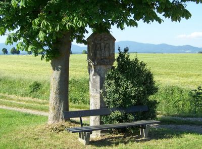
Bildstock, granitpfeiler mit Laternenaufsatz, bezeichnet 1771; am Weg nach Hettenkofen
Location: Deggendorf
Address: Der Waldweg zur B 11
GPS coordinates: 48.80964,12.88054
Latest update: March 3, 2025 19:02
Bezirksklinikum Mainkofen
1.3 km
Burg Natternberg
2.9 km
Elypso
2.4 km
St. Michael (Michaelsbuch)
2 km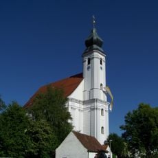
Mariä Heimsuchung (Rettenbach)
705 m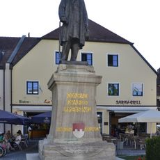
Preysing-Denkmal
3.7 km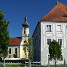
Pfarrhaus
2.1 km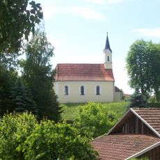
St. Maria Magdalena (Steinkirchen, Stephansposching)
3.8 km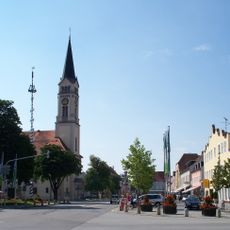
St. Maria Magdalena (Plattling)
3.7 km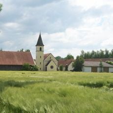
Katholische Filialkirche St. Petrus und Laurentius
3.3 km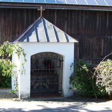
Kapelle
738 m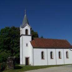
St. Anna
2.5 km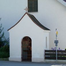
Kapelle
621 m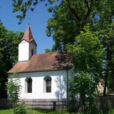
Kapelle
3.9 km
Natternberg
2.9 km
Gasthaus
3.8 km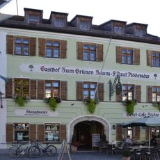
Gasthaus
3.8 km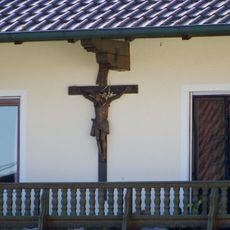
Hausfigur
599 m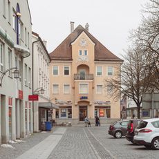
Ensemble Preysing- und Ludwigplatz
3.7 km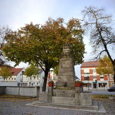
Kriegerdenkmal Plattling
3.8 km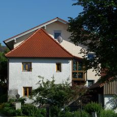
Ehemals Zuhaus
675 m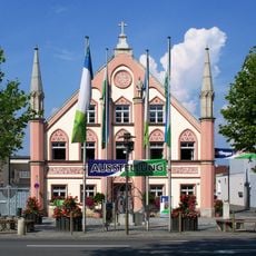
Ehemaliges Bürgerspital, Plattling
3.8 km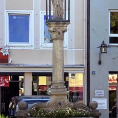
Mariensäule
3.6 km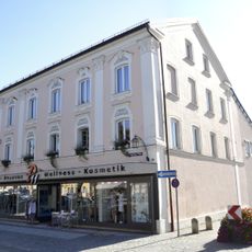
Wohnhaus
3.6 km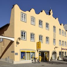
Gasthof
3.7 km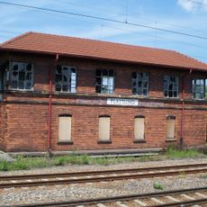
Ehemaliges Bahnbetriebswerk Plattling
3.5 km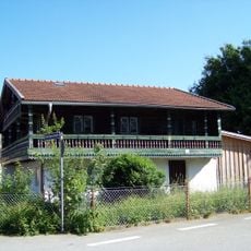
Wohnstallhaus
764 m
Ehemals Wohnstallhaus
739 mVisited this place? Tap the stars to rate it and share your experience / photos with the community! Try now! You can cancel it anytime.
Discover hidden gems everywhere you go!
From secret cafés to breathtaking viewpoints, skip the crowded tourist spots and find places that match your style. Our app makes it easy with voice search, smart filtering, route optimization, and insider tips from travelers worldwide. Download now for the complete mobile experience.

A unique approach to discovering new places❞
— Le Figaro
All the places worth exploring❞
— France Info
A tailor-made excursion in just a few clicks❞
— 20 Minutes