
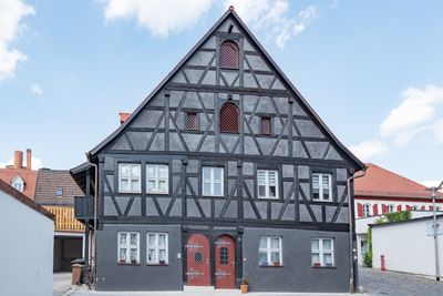
Synagogengasse 5, 1727–1918 Rabbinerhaus, Schule und Spital der jüdischen Gemeinde, zweigeschossiger, giebelst?ndiger Satteldachbau mit Fachwerkobergeschoss und -giebel und zwei Eingangstüren, 1707
Location: Schwabach
Address: Synagogengasse 5
GPS coordinates: 49.33102,11.02251
Latest update: March 5, 2025 19:08
Synagogengasse 6 (Schwabach)
15 m
Friedrichstraße 1
77 m
Synagogengasse 10
45 m
Friedrichstraße 2
45 m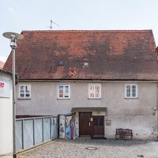
Synagogengasse 4
19 m
Kappadozia 9
92 m
Nördliche Ringstraße 9
88 m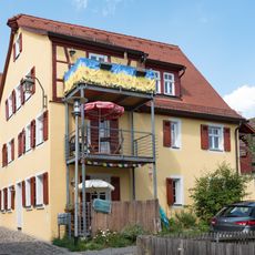
Synagogengasse 8
38 m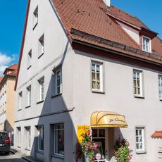
Nürnberger Straße 14
84 m
Friedrichstraße 6 (Schwabach)
70 m
Friedrichstraße 7
63 m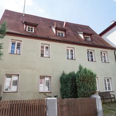
Nördliche Mauerstraße 25
58 m
Nördliche Mauerstraße 23
52 m
Wohnhaus Kappadozia 6
110 m
Bürgerhaus Neutorstraße 9
94 m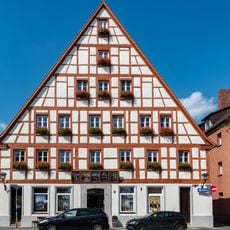
Neutorstraße 1 (Schwabach)
55 m
Neutorstraße 4 (Schwabach)
98 m
Friedrichstraße 11
73 m
Neutorstraße 5 (Schwabach)
68 m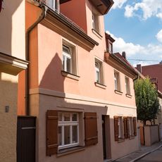
Silbergasse 1 (Schwabach)
116 m
Residential building at Friedrichstrasse 15
89 m
Kappadozia 7
106 m
Nürnberger Straße 10
111 m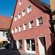
Nürnberger Straße 12
101 m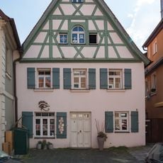
Friedrichstraße 3
71 m
Nürnberger Straße 18
66 m
Pinzenberg 3
104 m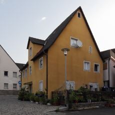
Synagogengasse 14
67 mReviews
Visited this place? Tap the stars to rate it and share your experience / photos with the community! Try now! You can cancel it anytime.
Discover hidden gems everywhere you go!
From secret cafés to breathtaking viewpoints, skip the crowded tourist spots and find places that match your style. Our app makes it easy with voice search, smart filtering, route optimization, and insider tips from travelers worldwide. Download now for the complete mobile experience.

A unique approach to discovering new places❞
— Le Figaro
All the places worth exploring❞
— France Info
A tailor-made excursion in just a few clicks❞
— 20 Minutes